Estimated Value: $117,637 - $339,000
--
Bed
--
Bath
1,120
Sq Ft
$178/Sq Ft
Est. Value
About This Home
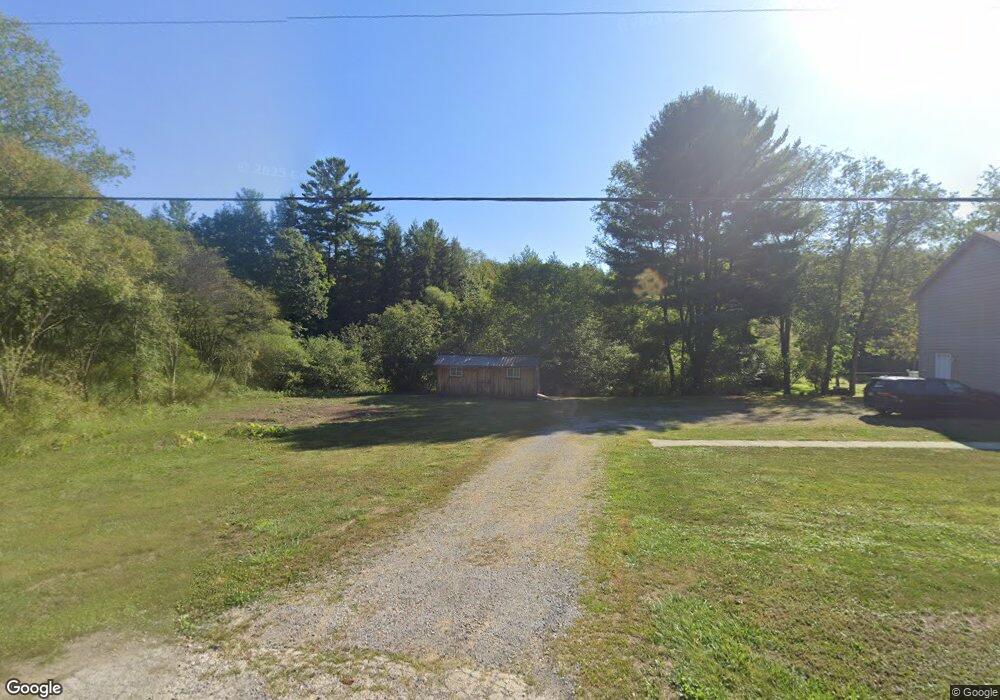
This home is located at 3522 Blairs Corner Rd, Knox, PA 16232 and is currently estimated at $198,909, approximately $177 per square foot. 3522 Blairs Corner Rd is a home located in Clarion County with nearby schools including Keystone Elementary School, Keystone Junior/Senior High School, and Meadow View Amish School.
Ownership History
Date
Name
Owned For
Owner Type
Purchase Details
Closed on
Jun 1, 2018
Sold by
Rhoads Terry O and Rhoads Debby K
Bought by
Rhoads Debby K
Current Estimated Value
Home Financials for this Owner
Home Financials are based on the most recent Mortgage that was taken out on this home.
Original Mortgage
$148,000
Interest Rate
4.5%
Mortgage Type
New Conventional
Create a Home Valuation Report for This Property
The Home Valuation Report is an in-depth analysis detailing your home's value as well as a comparison with similar homes in the area
Home Values in the Area
Average Home Value in this Area
Purchase History
| Date | Buyer | Sale Price | Title Company |
|---|---|---|---|
| Rhoads Debby K | -- | None Available |
Source: Public Records
Mortgage History
| Date | Status | Borrower | Loan Amount |
|---|---|---|---|
| Closed | Rhoads Debby K | $148,000 |
Source: Public Records
Tax History Compared to Growth
Tax History
| Year | Tax Paid | Tax Assessment Tax Assessment Total Assessment is a certain percentage of the fair market value that is determined by local assessors to be the total taxable value of land and additions on the property. | Land | Improvement |
|---|---|---|---|---|
| 2025 | $3,264 | $38,811 | $2,140 | $36,671 |
| 2024 | $3,080 | $38,811 | $2,140 | $36,671 |
| 2023 | $2,972 | $39,054 | $2,140 | $36,914 |
| 2022 | $2,932 | $39,054 | $2,140 | $36,914 |
| 2021 | $2,952 | $39,054 | $2,140 | $36,914 |
| 2020 | $2,952 | $39,054 | $2,140 | $36,914 |
| 2019 | $2,903 | $39,054 | $2,140 | $36,914 |
| 2018 | $2,903 | $39,054 | $2,140 | $36,914 |
| 2017 | $2,903 | $39,054 | $2,140 | $36,914 |
| 2016 | $2,903 | $39,054 | $2,140 | $36,914 |
| 2014 | -- | $36,851 | $2,140 | $34,711 |
Source: Public Records
Map
Nearby Homes
- 216 High Point Rd
- 28 Graff Rd
- 1278 Wentlings Corners Rd
- 725 River Bends Dr
- 1248 Chestnut Ridge Rd
- 429 Main St
- 3765/3905
- 0 Willow Ave
- 630 S Main St
- 601 S Main St
- 427 Main St
- 518 E Penn Ave
- 336 Best Ave
- 327 Mendenhall Ave
- 374 E Penn Ave
- 3176 Pennsylvania 58
- 2404 Pennsylvania 208
- 127 Nagel Ln
- 513 Ron McHenry Rd
- 180 Railroad St
- 3488 Blairs Corner Rd
- 3488 Blairs Corner Rd
- 4932 Route 338
- 4968 Route 338
- 3673 Blairs Corner Rd
- 5058 Route 338
- 4979 Route 338
- 36 Strawberry Farm Rd
- 40 Strawberry Farm Rd
- 22 Strawberry Farm Rd
- 353 Burnt Mills Rd
- 90 Strawberry Farm Rd
- 465 Burnt Mills Rd
- 3340 Blairs Corner Rd
- 155 Strawberry Farm Rd
- 4724 Route 338
- 101 Strawberry Farm Rd
- 29 Strawberry Farm Rd
- 29 Strawberry Farm Rd
- 556 Burnt Mills Rd