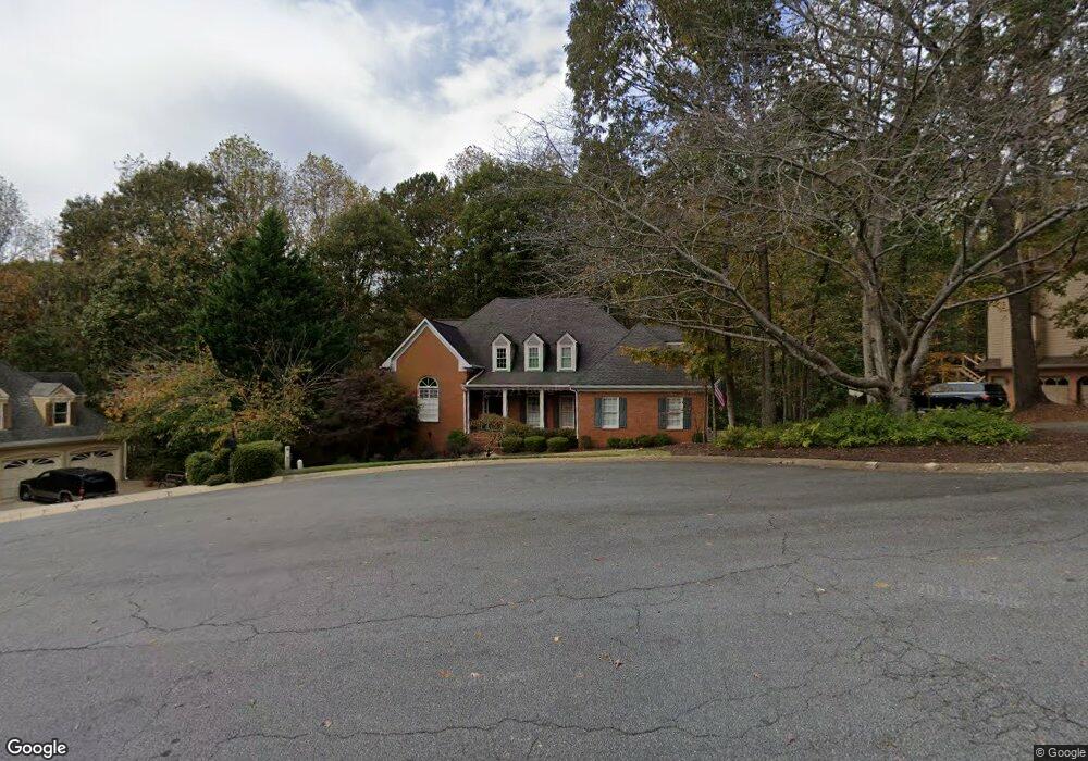
3522 Stone Cliff Way Woodstock, GA 30189
Oak Grove NeighborhoodEstimated Value: $652,000 - $653,451
5
Beds
5
Baths
3,769
Sq Ft
$173/Sq Ft
Est. Value
About This Home
This home is located at 3522 Stone Cliff Way, Woodstock, GA 30189 and is currently estimated at $652,726, approximately $173 per square foot. 3522 Stone Cliff Way is a home located in Cherokee County with nearby schools including Bascomb Elementary School, E. T. Booth Middle School, and Etowah High School.
Ownership History
Date
Name
Owned For
Owner Type
Purchase Details
Closed on
Jul 16, 2025
Sold by
Markette Walton R
Bought by
Markette Karen C and Markette Walton Roscoe Tr
Current Estimated Value
Purchase Details
Closed on
May 31, 1994
Sold by
Hebeisen Gregory M
Bought by
Markette Walton R and Markette Karen C
Home Financials for this Owner
Home Financials are based on the most recent Mortgage that was taken out on this home.
Original Mortgage
$206,100
Interest Rate
8.27%
Create a Home Valuation Report for This Property
The Home Valuation Report is an in-depth analysis detailing your home's value as well as a comparison with similar homes in the area
Home Values in the Area
Average Home Value in this Area
Purchase History
| Date | Buyer | Sale Price | Title Company |
|---|---|---|---|
| Markette Karen C | -- | -- | |
| Markette Walton R | $229,000 | -- |
Source: Public Records
Mortgage History
| Date | Status | Borrower | Loan Amount |
|---|---|---|---|
| Previous Owner | Markette Walton R | $206,100 |
Source: Public Records
Tax History Compared to Growth
Tax History
| Year | Tax Paid | Tax Assessment Tax Assessment Total Assessment is a certain percentage of the fair market value that is determined by local assessors to be the total taxable value of land and additions on the property. | Land | Improvement |
|---|---|---|---|---|
| 2025 | $1,341 | $222,820 | $40,800 | $182,020 |
| 2024 | $1,784 | $226,700 | $38,000 | $188,700 |
| 2023 | $1,682 | $213,700 | $38,000 | $175,700 |
| 2022 | $1,517 | $192,900 | $38,000 | $154,900 |
| 2021 | $1,253 | $163,208 | $30,600 | $132,608 |
| 2020 | $1,224 | $154,236 | $28,600 | $125,636 |
| 2019 | $1,198 | $147,440 | $26,000 | $121,440 |
| 2018 | $1,193 | $140,240 | $26,000 | $114,240 |
| 2017 | $1,218 | $347,600 | $27,200 | $111,840 |
| 2016 | $1,230 | $330,900 | $27,200 | $105,160 |
| 2015 | $1,177 | $302,900 | $27,200 | $93,960 |
| 2014 | $1,111 | $284,800 | $27,200 | $86,720 |
Source: Public Records
Map
Nearby Homes
- 3525 Stone Cliff Way
- 819 Bermuda Run
- 608 Wedgewood Dr
- 714 Players Ct
- 559 Fairway Dr
- 1404 Coventry Ct Unit 1
- 2618 Gladstone Terrace
- 3607 Broken Arrow Dr Unit I
- 3129 Sandhurst Dr
- 542 Fairway Dr
- 2814 Andover Way
- 258 Strawberry Ln
- 250 Strawberry Ln
- 242 Strawberry Ln
- 219 Morning Mist Way
- 701 Whisper Wind Ct
- 227 Morning Mist Way
- 2706 Hampton Trail Unit 1
- 409 Misty Ridge Way
- 1514 Mosswood Ln
- 3524 Stone Cliff Way Unit 1
- 3518 Stone Cliff Way Unit 1
- 3516 Stone Cliff Way
- 3521 Stone Cliff Way
- 3519 Stone Cliff Way Unit 1
- 3514 Stone Cliff Way
- 3515 Stone Cliff Way Unit 1
- 3211 Quail Point Unit 1
- 3214 Quail Point
- 3517 Stone Cliff Way
- 835 Bermuda Run
- 835 Bermuda Run Unit 2
- 3512 Stone Cliff Way
- 833 Bermuda Run Unit 106
- 833 Bermuda Run
- 831 Bermuda Run
- 3209 Quail Point Unit I
- 3509 Stone Cliff Way
- 829 Bermuda Run Unit 108
- 829 Bermuda Run Unit 829