35227 Moffit Place Anchor Point, AK 99556
Estimated Value: $82,000 - $692,000
--
Bed
1
Bath
1,728
Sq Ft
$252/Sq Ft
Est. Value
About This Home
This home is located at 35227 Moffit Place, Anchor Point, AK 99556 and is currently estimated at $434,774, approximately $251 per square foot. 35227 Moffit Place is a home located in Kenai Peninsula Borough with nearby schools including Chapman School and Homer High School.
Ownership History
Date
Name
Owned For
Owner Type
Purchase Details
Closed on
Jul 24, 2018
Sold by
Moanaliha Akee Sbrittnay Dale
Bought by
Moanaliha Brittnay Dale and Akee Kyle Jacob
Current Estimated Value
Home Financials for this Owner
Home Financials are based on the most recent Mortgage that was taken out on this home.
Original Mortgage
$80,500
Outstanding Balance
$69,920
Interest Rate
4.6%
Mortgage Type
New Conventional
Estimated Equity
$364,854
Create a Home Valuation Report for This Property
The Home Valuation Report is an in-depth analysis detailing your home's value as well as a comparison with similar homes in the area
Home Values in the Area
Average Home Value in this Area
Purchase History
| Date | Buyer | Sale Price | Title Company |
|---|---|---|---|
| Moanaliha Brittnay Dale | -- | Kachemak Bay Title Agency In |
Source: Public Records
Mortgage History
| Date | Status | Borrower | Loan Amount |
|---|---|---|---|
| Open | Moanaliha Brittnay Dale | $80,500 |
Source: Public Records
Tax History Compared to Growth
Tax History
| Year | Tax Paid | Tax Assessment Tax Assessment Total Assessment is a certain percentage of the fair market value that is determined by local assessors to be the total taxable value of land and additions on the property. | Land | Improvement |
|---|---|---|---|---|
| 2025 | $4,803 | $511,100 | $133,600 | $377,500 |
| 2024 | $4,803 | $465,900 | $127,100 | $338,800 |
| 2023 | $4,344 | $403,300 | $106,300 | $297,000 |
| 2022 | $3,978 | $358,700 | $80,600 | $278,100 |
| 2021 | $3,985 | $353,000 | $78,100 | $274,900 |
| 2020 | $4,209 | $376,100 | $78,100 | $298,000 |
| 2019 | $1,885 | $338,200 | $125,000 | $213,200 |
| 2018 | $3,954 | $354,600 | $125,000 | $229,600 |
| 2017 | $3,196 | $291,900 | $125,000 | $166,900 |
| 2016 | $2,026 | $185,000 | $125,000 | $60,000 |
| 2015 | $1,464 | $193,900 | $125,000 | $68,900 |
| 2014 | $1,464 | $185,200 | $125,000 | $60,200 |
Source: Public Records
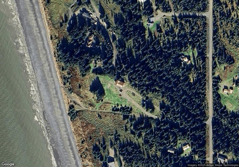
Map
Nearby Homes
- 35144 Danver St
- 73901 Kirtley Ct
- 73956 Desa Ave
- L7 Danver St
- 74057 Anchor Point Rd
- 000 Anchor Point Rd
- 73528 Breakaway Rd
- 73481 Ann Rd
- 73549 Breakaway Rd
- 73790 Cuffel Ditton Rd
- 73487 Ann Ct
- 35555 Old Sterling Hwy
- 35890 Old Sterling Hwy
- 35196 Nordic Ct
- 34427 Birch St
- 34405 Birch St
- 35765 Erin Way
- 34143 Hms Resolution Rd
- 73595 School Ave
- 000 Old Sterling Hwy
- 35225 Moffit Place
- 35235 Danver St
- 74085 Parkinson Cir
- 35385 Danver St
- 74053 Becker Ct
- 35143 Moffit Place
- 74045 Becker Ct
- 35835 Danver St
- L2 B3 Danver St
- L9-11 Danver St
- 00 Danver St
- 17A & 18A Danver St
- L9-10 Danver St
- L10 Danver St
- L11 Danver St
- 34952 Danver St
- 000 Danver St
- L6 Danver St
- L1A Danver St
- L9 Danver St