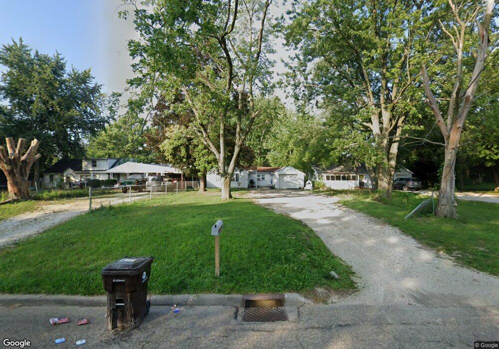
3523 N Gale Ave Peoria, IL 61604
El Vista NeighborhoodEstimated Value: $59,000 - $75,000
1
Bed
1
Bath
1,008
Sq Ft
$69/Sq Ft
Est. Value
About This Home
This home is located at 3523 N Gale Ave, Peoria, IL 61604 and is currently estimated at $69,634, approximately $69 per square foot. 3523 N Gale Ave is a home with nearby schools including Dr Maude A Sanders Primary School, Sterling Middle School, and Peoria High School.
Ownership History
Date
Name
Owned For
Owner Type
Purchase Details
Closed on
Dec 17, 2021
Sold by
Fredericks Robert P
Bought by
Bella Il Inc
Current Estimated Value
Purchase Details
Closed on
Dec 13, 2016
Sold by
Cunningham Phillip V and Cunningham Carroll J
Bought by
Fredericks Monica L
Purchase Details
Closed on
Nov 22, 2016
Sold by
Cunningham Phillip V and Cunningham Carroll J
Bought by
Fredericks Monica L
Create a Home Valuation Report for This Property
The Home Valuation Report is an in-depth analysis detailing your home's value as well as a comparison with similar homes in the area
Home Values in the Area
Average Home Value in this Area
Purchase History
| Date | Buyer | Sale Price | Title Company |
|---|---|---|---|
| Bella Il Inc | $210,000 | Cusack & Gilfillan Llc | |
| Fredericks Monica L | -- | -- | |
| Fredericks Monica L | -- | -- |
Source: Public Records
Tax History Compared to Growth
Tax History
| Year | Tax Paid | Tax Assessment Tax Assessment Total Assessment is a certain percentage of the fair market value that is determined by local assessors to be the total taxable value of land and additions on the property. | Land | Improvement |
|---|---|---|---|---|
| 2024 | $1,150 | $12,710 | $3,740 | $8,970 |
| 2023 | $1,097 | $11,660 | $3,430 | $8,230 |
| 2022 | $1,062 | $11,010 | $3,270 | $7,740 |
| 2021 | $1,042 | $10,480 | $3,110 | $7,370 |
| 2020 | $1,040 | $10,380 | $3,080 | $7,300 |
| 2019 | $567 | $5,690 | $3,140 | $2,550 |
| 2018 | $1,258 | $12,920 | $3,170 | $9,750 |
| 2017 | $1,258 | $13,050 | $3,200 | $9,850 |
| 2016 | $1,224 | $13,050 | $3,200 | $9,850 |
| 2015 | $1,310 | $12,800 | $3,140 | $9,660 |
| 2014 | $1,311 | $14,230 | $2,980 | $11,250 |
| 2013 | -- | $14,410 | $3,020 | $11,390 |
Source: Public Records
Map
Nearby Homes
- 3423 N El Vista Ave
- 3623 N Sterling Ave Unit b-17
- 2221 W Tripp Ave
- 3720 N Saint Michael Ave
- 2705 W Millbrook Ct
- 2214 W Bainter Ln
- 2036 W Richwoods Blvd
- 2318 W Albany Ave
- 2011 W Richwoods Blvd
- 2315 W Hudson St
- 4011 N Sterling Ave
- 3808 N Walround Ln
- 2029 W Forrest Hill Ave
- 3114 N Elmcroft Terrace
- 2909 N Mission Rd
- 2910 W Westport Rd
- 3010 W Brookside Dr
- 2922 W Larchmont Ln
- 2214 W Arrowhead Ln
- 2703 N Golf Dr
- 3525 N Gale Ave
- 3521 N Gale Ave
- 3517 N Gale Ave
- 3426 N El Vista Ave
- 3424 N El Vista Ave
- 3430 N El Vista Ave
- 3420 N El Vista Ave
- 3513 N Gale Ave
- 3607 N Gale Ave
- 3502 N El Vista Ave
- 3416 N El Vista Ave
- 3509 N Gale Ave
- 3611 N Gale Ave
- 3412 N El Vista Ave
- 3508 N El Vista Ave
- 3518 N Gale Ave
- 3522 N Gale Ave
- 3505 N Gale Ave
- 3526 N Gale Ave
- 3526 N Gale Ave Unit M