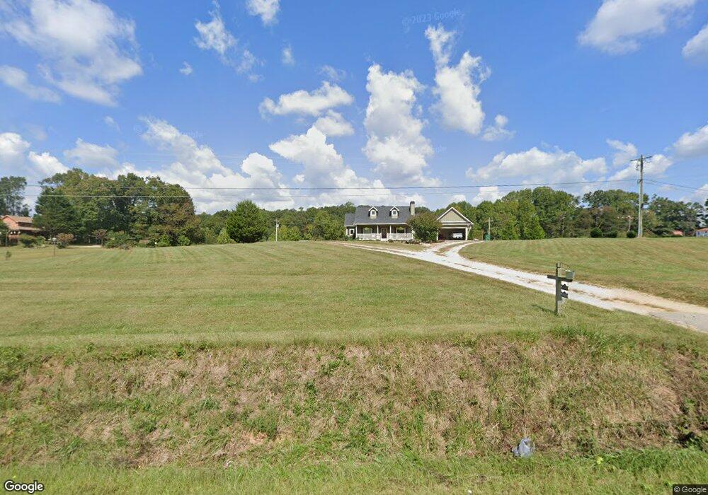
3523 Riverbend Rd Demorest, GA 30535
Estimated Value: $434,000
3
Beds
2
Baths
2,473
Sq Ft
$175/Sq Ft
Est. Value
About This Home
This home is located at 3523 Riverbend Rd, Demorest, GA 30535 and is currently estimated at $434,000, approximately $175 per square foot. 3523 Riverbend Rd is a home located in Habersham County with nearby schools including Fairview Elementary School, North Habersham Middle School, and Habersham Success Academy.
Ownership History
Date
Name
Owned For
Owner Type
Purchase Details
Closed on
Jan 16, 2025
Sold by
Smith Ronnie T
Bought by
Smith Debra Elaine and Smith Doug K
Current Estimated Value
Purchase Details
Closed on
Mar 1, 2024
Sold by
Smith Ronnie T
Bought by
Smith Amanda and Smith Damon
Purchase Details
Closed on
May 16, 2013
Sold by
Jones Sheila D
Bought by
Smith Doug K
Create a Home Valuation Report for This Property
The Home Valuation Report is an in-depth analysis detailing your home's value as well as a comparison with similar homes in the area
Home Values in the Area
Average Home Value in this Area
Purchase History
| Date | Buyer | Sale Price | Title Company |
|---|---|---|---|
| Smith Debra Elaine | $8,500 | -- | |
| Smith Amanda | $27,000 | -- | |
| Smith Doug K | -- | -- | |
| Jones Sheila D | -- | -- | |
| Smith Ronnie T | -- | -- | |
| Smith Brady D | -- | -- | |
| Jones Sheila D | -- | -- | |
| Smith Brady D | -- | -- | |
| Smith Doug K | -- | -- | |
| Smith Ronnie T | -- | -- | |
| Smith Ronnie T | -- | -- |
Source: Public Records
Tax History Compared to Growth
Tax History
| Year | Tax Paid | Tax Assessment Tax Assessment Total Assessment is a certain percentage of the fair market value that is determined by local assessors to be the total taxable value of land and additions on the property. | Land | Improvement |
|---|---|---|---|---|
| 2025 | $366 | $15,167 | $14,226 | $941 |
| 2024 | $651 | $25,072 | $23,496 | $1,576 |
| 2023 | $431 | $17,240 | $15,664 | $1,576 |
| 2022 | $414 | $15,880 | $15,664 | $216 |
| 2021 | $312 | $12,024 | $11,748 | $276 |
| 2020 | $325 | $12,092 | $11,748 | $344 |
| 2019 | $326 | $12,092 | $11,748 | $344 |
| 2018 | $323 | $12,092 | $11,748 | $344 |
| 2017 | $383 | $14,264 | $13,456 | $808 |
| 2016 | $372 | $35,660 | $13,456 | $808 |
| 2015 | $368 | $35,660 | $13,456 | $808 |
| 2014 | $374 | $35,660 | $13,456 | $808 |
| 2013 | -- | $52,940 | $52,132 | $808 |
Source: Public Records
Map
Nearby Homes
- 303 Chitwood Rd
- 0 Alfred Taylor Rd Unit LOT 5 10447910
- 2798 Riverbend Rd
- 474 White Pine Cir
- 649 Sutton Rd
- 305 Cool Springs Rd
- 132 Fairview Meadows Dr
- 239 Cool Springs Lot #8 Rd
- 368 Dixon Rd
- 255 Cool Springs Road -Lot #7 Rd
- 22 Ridge Haven Dr
- 320 Cain Bridge Meadows Rd
- 922 Amys Ford Trail
- 0 Waterside Trail Unit 7556513
- 0 Waterside Trail Unit 10497096
- 552 LOT 47 Riverside Dr
- 618 Riverside Dr
- 0 Harvest Church Rd
- 518 Riverside Dr
- 0 Dean Mountain Rd Unit 10577073
- 125 Knots Landing Dr
- 3490 Riverbend Rd
- 212 Knots Landing Dr
- 3297 Riverbend Rd
- 3520 Riverbend Rd
- 149 Knots Landing Dr
- 3400 Riverbend Rd
- 3300 Riverbend Rd
- 0 Smith Fork Dr Unit 3268731
- 0 Smith Fork Dr Unit 3138467
- 0 Smith Fork Dr
- 3281 Riverbend Rd
- 3593 Riverbend Rd
- 287 Knots Landing Dr
- 3611 Riverbend Rd
- 3430 Riverbend Rd
- 599 Smith Fork Dr
- 500 Smith Fork Dr
- 3275 Riverbend Rd
- 3578 Riverbend Rd