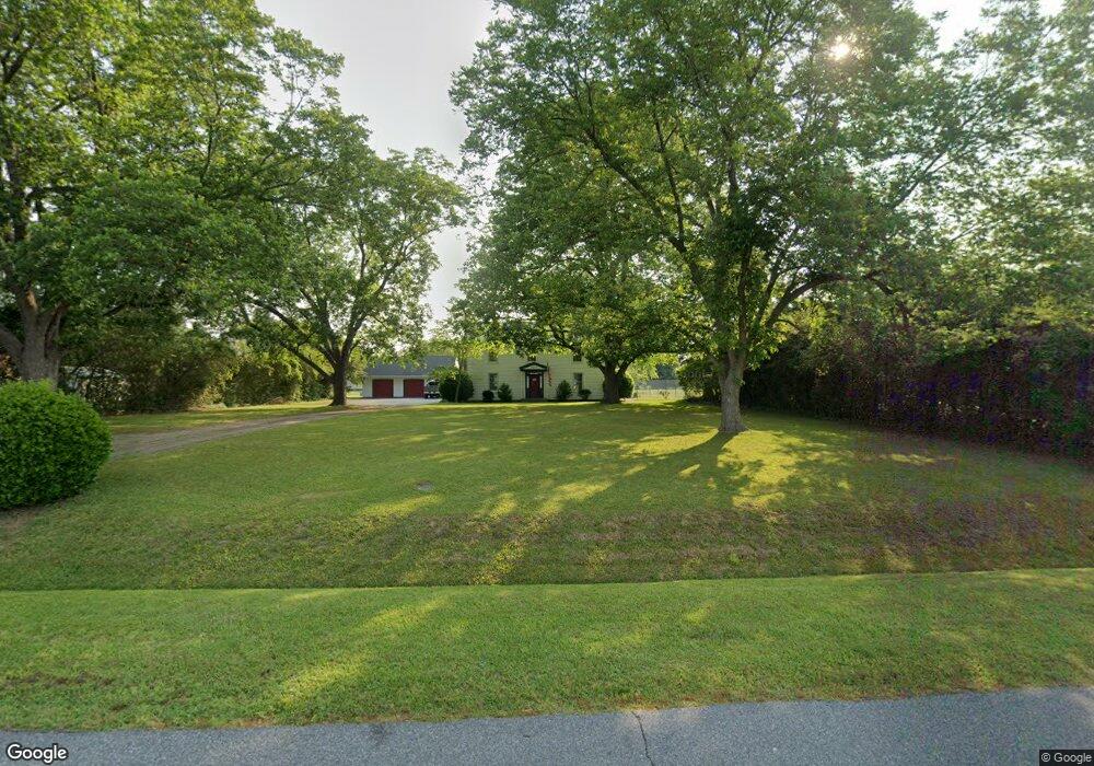
3524 Robs Dr Suffolk, VA 23434
Chuckatuck NeighborhoodEstimated Value: $350,000 - $438,000
2
Beds
3
Baths
1,928
Sq Ft
$205/Sq Ft
Est. Value
About This Home
This home is located at 3524 Robs Dr, Suffolk, VA 23434 and is currently estimated at $394,502, approximately $204 per square foot. 3524 Robs Dr is a home located in Suffolk City with nearby schools including Elephant's Fork Elementary School, King's Fork Middle School, and King's Fork High School.
Ownership History
Date
Name
Owned For
Owner Type
Purchase Details
Closed on
Nov 28, 2016
Sold by
Elliot Tammie R
Bought by
Taylor Roland C and Taylor Kimberly H
Current Estimated Value
Home Financials for this Owner
Home Financials are based on the most recent Mortgage that was taken out on this home.
Original Mortgage
$218,400
Outstanding Balance
$176,081
Interest Rate
3.47%
Mortgage Type
New Conventional
Estimated Equity
$218,421
Create a Home Valuation Report for This Property
The Home Valuation Report is an in-depth analysis detailing your home's value as well as a comparison with similar homes in the area
Home Values in the Area
Average Home Value in this Area
Purchase History
| Date | Buyer | Sale Price | Title Company |
|---|---|---|---|
| Taylor Roland C | $229,900 | Title Quest Of Hampton Roads |
Source: Public Records
Mortgage History
| Date | Status | Borrower | Loan Amount |
|---|---|---|---|
| Open | Taylor Roland C | $218,400 |
Source: Public Records
Tax History Compared to Growth
Tax History
| Year | Tax Paid | Tax Assessment Tax Assessment Total Assessment is a certain percentage of the fair market value that is determined by local assessors to be the total taxable value of land and additions on the property. | Land | Improvement |
|---|---|---|---|---|
| 2024 | $3,567 | $257,100 | $80,000 | $177,100 |
| 2023 | $3,144 | $251,200 | $80,000 | $171,200 |
| 2022 | $2,365 | $217,000 | $72,000 | $145,000 |
| 2021 | $2,409 | $217,000 | $72,000 | $145,000 |
| 2020 | $2,456 | $221,300 | $72,000 | $149,300 |
| 2019 | $2,456 | $221,300 | $72,000 | $149,300 |
| 2018 | $2,595 | $221,100 | $72,000 | $149,100 |
| 2017 | $2,366 | $221,100 | $72,000 | $149,100 |
| 2016 | $2,466 | $230,500 | $72,000 | $158,500 |
| 2015 | $1,225 | $230,500 | $72,000 | $158,500 |
| 2014 | $1,225 | $230,500 | $72,000 | $158,500 |
Source: Public Records
Map
Nearby Homes
- 123 Kings Point Dr
- 3000 Catalina Ave
- 3000 Woodlawn Dr
- 2060 Queens Point Dr
- 1056 Boundary Dr
- 5014 Kings Grant Cir
- 1244 Murphys Mill Rd
- 5061 Kings Grant Cir
- 5073 Kings Grant Cir
- 1259 Murphys Mill Rd
- 5080 Kings Grant Cir
- 312 Stonehenge Dr
- The Tuscany Plan at The Vineyards at Hallstead Reserve
- The Veneto Plan at The Vineyards at Hallstead Reserve
- The Lombardy Plan at The Vineyards at Hallstead Reserve
- 2000 Venture Way Unit B
- 515 Kemp Landing
- 2200 Venture Way Unit A
- 2200 Venture Way Unit B
- 1200 Capella Ln Unit A
- 3526 Robs Dr
- 112 Queen Annes Ct
- 3528 Robs Dr
- 109 Castle Ct
- 110 Queen Annes Ct
- 114 Queen Annes Ct
- 108 Queen Annes Ct
- 107 Castle Ct
- 3530 Robs Dr
- 3468 Pruden Blvd
- 121 Queen Annes Ct
- 111 Castle Ct
- 106 Queen Annes Ct
- 3464 Pruden Blvd
- 119 Queen Annes Ct
- 105 Castle Ct
- 3532 Robs Dr
- 117 Queen Annes Ct
- 3534 Robs Dr
- 103 Castle Ct