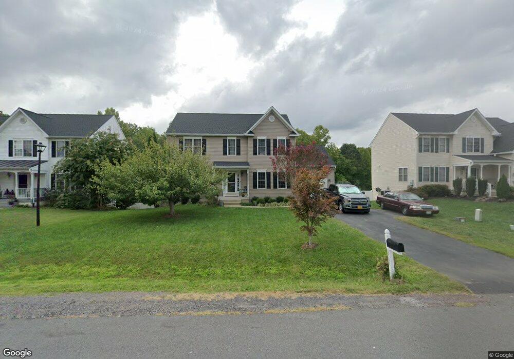
35244 Pheasant Ridge Rd Locust Grove, VA 22508
Estimated Value: $412,195 - $477,000
4
Beds
3
Baths
2,572
Sq Ft
$171/Sq Ft
Est. Value
About This Home
This home is located at 35244 Pheasant Ridge Rd, Locust Grove, VA 22508 and is currently estimated at $440,049, approximately $171 per square foot. 35244 Pheasant Ridge Rd is a home located in Orange County with nearby schools including Locust Grove Primary School, Locust Grove Elementary School, and Locust Grove Middle School.
Ownership History
Date
Name
Owned For
Owner Type
Purchase Details
Closed on
Feb 11, 2005
Sold by
Tricord Incorporated
Bought by
Hutchind Charles B and Hutchind Karen L
Current Estimated Value
Home Financials for this Owner
Home Financials are based on the most recent Mortgage that was taken out on this home.
Original Mortgage
$271,930
Outstanding Balance
$136,364
Interest Rate
5.75%
Mortgage Type
New Conventional
Estimated Equity
$303,685
Create a Home Valuation Report for This Property
The Home Valuation Report is an in-depth analysis detailing your home's value as well as a comparison with similar homes in the area
Home Values in the Area
Average Home Value in this Area
Purchase History
| Date | Buyer | Sale Price | Title Company |
|---|---|---|---|
| Hutchind Charles B | $266,207 | None Available |
Source: Public Records
Mortgage History
| Date | Status | Borrower | Loan Amount |
|---|---|---|---|
| Open | Hutchind Charles B | $271,930 |
Source: Public Records
Tax History Compared to Growth
Tax History
| Year | Tax Paid | Tax Assessment Tax Assessment Total Assessment is a certain percentage of the fair market value that is determined by local assessors to be the total taxable value of land and additions on the property. | Land | Improvement |
|---|---|---|---|---|
| 2025 | $1,750 | $230,300 | $60,000 | $170,300 |
| 2024 | $1,750 | $230,300 | $60,000 | $170,300 |
| 2023 | $1,750 | $230,300 | $60,000 | $170,300 |
| 2022 | $1,750 | $230,300 | $60,000 | $170,300 |
| 2021 | $1,680 | $233,300 | $60,000 | $173,300 |
| 2020 | $1,680 | $233,300 | $60,000 | $173,300 |
| 2019 | $1,863 | $231,700 | $55,000 | $176,700 |
| 2018 | $1,863 | $231,700 | $55,000 | $176,700 |
| 2017 | $1,863 | $231,700 | $55,000 | $176,700 |
| 2016 | $1,863 | $231,700 | $55,000 | $176,700 |
| 2015 | $1,470 | $204,100 | $55,000 | $149,100 |
| 2014 | $1,470 | $204,100 | $55,000 | $149,100 |
Source: Public Records
Map
Nearby Homes
- 2082 Mallard Ln
- 2036 Mourning Dove Dr
- 2188 Mallard Ln
- 35049 Mansours Dr
- 2219 Wildflower Way
- 35342 Hawks Nest Ct
- 35460 Quail Meadow Ln
- 35291 Gosling Ln
- 35326 Gosling Ln
- 1456 Casual Water Way
- 35305 Wilderness Shores Way
- 35121 Wilderness Shores Way
- Coral Plan at Wilderness Shores - Seasons Collection
- Alexandrite Plan at Wilderness Shores - Seasons Collection
- Citrine Plan at Wilderness Shores - Seasons Collection
- Pearl Plan at Wilderness Shores - Seasons Collection
- Lapis Plan at Wilderness Shores - Seasons Collection
- 35618 Pine Needle Ln
- Hemingway Plan at Wilderness Shores - Seasons Collection
- Coronado Plan at Wilderness Shores - Seasons Collection
- 35250 Pheasant Ridge Rd
- 35236 Pheasant Ridge Rd
- 35258 Pheasant Ridge Rd
- 35228 Pheasant Ridge Rd
- 35245 Pheasant Ridge Rd
- 35237 Pheasant Ridge Rd
- 35264 Pheasant Ridge Rd
- 35220 Pheasant Ridge Rd
- 35253 Pheasant Ridge Rd
- 35231 Pheasant Ridge Rd
- 35259 Pheasant Ridge Rd
- 35272 Pheasant Ridge Rd
- 35225 Pheasant Ridge Rd
- 35212 Pheasant Ridge Rd
- 35267 Pheasant Ridge Rd
- 35217 Pheasant Ridge Rd
- 2088 Mallard Ln
- 35278 Pheasant Ridge Rd
- 35207 Pheasant Ridge Rd
- 35204 Pheasant Ridge Rd