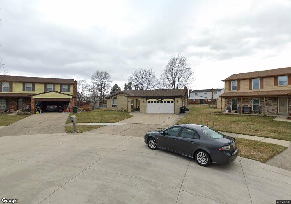
3525 Jasper Dr Sterling Heights, MI 48310
Estimated Value: $350,000 - $398,000
--
Bed
2
Baths
1,859
Sq Ft
$199/Sq Ft
Est. Value
About This Home
This home is located at 3525 Jasper Dr, Sterling Heights, MI 48310 and is currently estimated at $369,712, approximately $198 per square foot. 3525 Jasper Dr is a home located in Macomb County with nearby schools including Schuchard Elementary School, Frank Jeannette Junior High School, and Adlai Stevenson High School.
Ownership History
Date
Name
Owned For
Owner Type
Purchase Details
Closed on
Aug 29, 2005
Sold by
Frank Michael L and Frank Annette
Bought by
Yarbrough Patrick R and Yarbrough Betty M
Current Estimated Value
Purchase Details
Closed on
Apr 13, 1995
Sold by
Redman David C
Bought by
Frank Michael L and Frank Annette
Home Financials for this Owner
Home Financials are based on the most recent Mortgage that was taken out on this home.
Original Mortgage
$85,000
Interest Rate
8.64%
Mortgage Type
New Conventional
Create a Home Valuation Report for This Property
The Home Valuation Report is an in-depth analysis detailing your home's value as well as a comparison with similar homes in the area
Home Values in the Area
Average Home Value in this Area
Purchase History
| Date | Buyer | Sale Price | Title Company |
|---|---|---|---|
| Yarbrough Patrick R | $219,900 | Metropolitan Title Company | |
| Frank Michael L | $136,500 | -- |
Source: Public Records
Mortgage History
| Date | Status | Borrower | Loan Amount |
|---|---|---|---|
| Previous Owner | Frank Michael L | $85,000 |
Source: Public Records
Tax History Compared to Growth
Tax History
| Year | Tax Paid | Tax Assessment Tax Assessment Total Assessment is a certain percentage of the fair market value that is determined by local assessors to be the total taxable value of land and additions on the property. | Land | Improvement |
|---|---|---|---|---|
| 2025 | $3,601 | $177,300 | $0 | $0 |
| 2024 | $3,292 | $167,800 | $0 | $0 |
| 2023 | $3,108 | $150,100 | $0 | $0 |
| 2022 | $3,240 | $136,900 | $0 | $0 |
| 2021 | $3,173 | $130,900 | $0 | $0 |
| 2020 | $2,831 | $122,200 | $0 | $0 |
| 2019 | $2,900 | $116,700 | $0 | $0 |
| 2018 | $2,935 | $104,200 | $0 | $0 |
| 2017 | $2,802 | $98,800 | $15,600 | $83,200 |
| 2016 | $2,707 | $98,800 | $0 | $0 |
| 2015 | -- | $90,100 | $0 | $0 |
| 2014 | -- | $73,700 | $0 | $0 |
Source: Public Records
Map
Nearby Homes
- 3514 Bates Dr
- 39198 Faith Dr
- 3600 Brandi Dr
- 3816 Pokley Ct
- 3777 Hamlet Dr
- 38915 Claremont Ct
- 3038 Donna Dr
- 40444 Harmon Dr
- 3349 Dobbin Dr
- 38576 Cottonwood Dr
- 2233 Mellowood Dr
- 38338 Coronation Dr
- 4768 Dreon Ct
- 3550 Kirkton Dr
- 39560 Dequindre Rd
- 39588 Dequindre Rd
- 40663 Drury Rd
- 40665 Drury Rd
- 4622 Ardmore Dr
- 2452 Jonathan Dr
- 39533 Owendale Dr
- 3537 Jasper Dr
- 3502 Bates Dr
- 3526 Bates Dr
- 39521 Owendale Dr
- 3549 Jasper Dr
- 3399 Lords Dr
- 3390 Bates Dr
- 3538 Bates Dr
- 39370 Faith Dr
- 3561 Jasper Dr
- 39522 Owendale Dr
- 39509 Owendale Dr
- 3550 Bates Dr
- 3384 Bates Dr
- 3393 Lords Dr
- 39510 Owendale Dr
- 3562 Bates Dr
- 3619 Jasper Dr
- 39358 Faith Dr