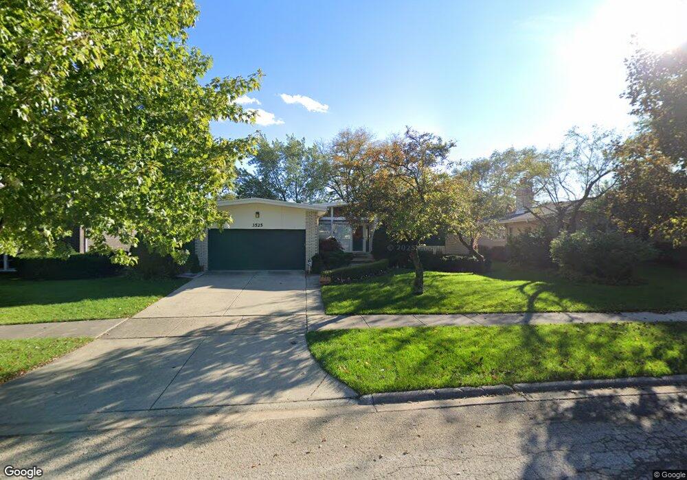
3525 Riverside Dr Wilmette, IL 60091
Estimated Value: $754,000 - $873,000
4
Beds
4
Baths
2,258
Sq Ft
$365/Sq Ft
Est. Value
About This Home
This home is located at 3525 Riverside Dr, Wilmette, IL 60091 and is currently estimated at $823,095, approximately $364 per square foot. 3525 Riverside Dr is a home located in Cook County with nearby schools including Marie Murphy School, Avoca West Elementary School, and New Trier Township High School - Northfield.
Ownership History
Date
Name
Owned For
Owner Type
Purchase Details
Closed on
Oct 31, 2006
Sold by
Fox Nathan and Fox Leeta M
Bought by
Sykora Glenn and Penway Susan
Current Estimated Value
Home Financials for this Owner
Home Financials are based on the most recent Mortgage that was taken out on this home.
Original Mortgage
$436,500
Outstanding Balance
$255,255
Interest Rate
6.38%
Mortgage Type
Unknown
Estimated Equity
$567,840
Purchase Details
Closed on
Dec 1, 1995
Sold by
Fox Nathan and Fox Leeta
Bought by
Fox Nathan
Create a Home Valuation Report for This Property
The Home Valuation Report is an in-depth analysis detailing your home's value as well as a comparison with similar homes in the area
Home Values in the Area
Average Home Value in this Area
Purchase History
| Date | Buyer | Sale Price | Title Company |
|---|---|---|---|
| Sykora Glenn | $727,500 | Multiple | |
| Fox Nathan | -- | -- | |
| Fox Leeta M | -- | -- |
Source: Public Records
Mortgage History
| Date | Status | Borrower | Loan Amount |
|---|---|---|---|
| Open | Sykora Glenn | $436,500 |
Source: Public Records
Tax History
| Year | Tax Paid | Tax Assessment Tax Assessment Total Assessment is a certain percentage of the fair market value that is determined by local assessors to be the total taxable value of land and additions on the property. | Land | Improvement |
|---|---|---|---|---|
| 2025 | $9,187 | $68,000 | $14,326 | $53,674 |
| 2024 | $9,187 | $46,814 | $14,326 | $32,488 |
| 2023 | $11,290 | $46,814 | $14,326 | $32,488 |
| 2022 | $11,290 | $59,000 | $14,326 | $44,674 |
| 2021 | $8,825 | $41,299 | $10,297 | $31,002 |
| 2020 | $8,775 | $41,299 | $10,297 | $31,002 |
| 2019 | $8,610 | $45,384 | $10,297 | $35,087 |
| 2018 | $9,776 | $48,631 | $8,506 | $40,125 |
| 2017 | $9,568 | $48,631 | $8,506 | $40,125 |
| 2016 | $9,419 | $48,631 | $8,506 | $40,125 |
| 2015 | $9,672 | $45,243 | $6,939 | $38,304 |
| 2014 | $9,961 | $45,243 | $6,939 | $38,304 |
| 2013 | $9,501 | $45,243 | $6,939 | $38,304 |
Source: Public Records
Map
Nearby Homes
- 3534 Thornwood Ave
- 3226 Sprucewood Rd
- 15 Landmark
- 1643 Harding Rd
- 62 Woodley Rd
- 718 Lawler Ave
- 3031 Indianwood Rd
- 42 Woodley Rd
- 2938 Indianwood Rd
- 1031 Indian Rd
- 2033 Winnetka Rd
- 1163 Romona Rd
- 1900 Winnetka Ave
- 1041 Arbor Ln
- 2836 Blackhawk Rd
- 1185 Hill Rd
- 32 Woodley Rd
- 320 Woodley Rd
- 3026 Highland Ave
- 308 Happ Rd Unit 201
- 1225 N Branch Rd
- 3529 Riverside Dr
- 1317 N Branch Rd Unit Lot R14
- 1317 N Branch Rd Unit F01
- 1317 N Branch Rd Unit Lot B14
- 1317 N Branch Rd Unit Lot A16
- 1317 N Branch Rd Unit Lot B02
- 1221 N Branch Rd
- 1215 N Branch Rd
- 1226 Manor Dr
- 3535 Riverside Dr
- 3524 Riverside Dr
- 1224 N Branch Rd
- 1220 Manor Dr
- 3518 Riverside Dr
- 1211 N Branch Rd
- 3514 Riverside Dr
- 1214 Manor Dr
- 3532 Riverside Dr
- 1220 N Branch Rd
Your Personal Tour Guide
Ask me questions while you tour the home.