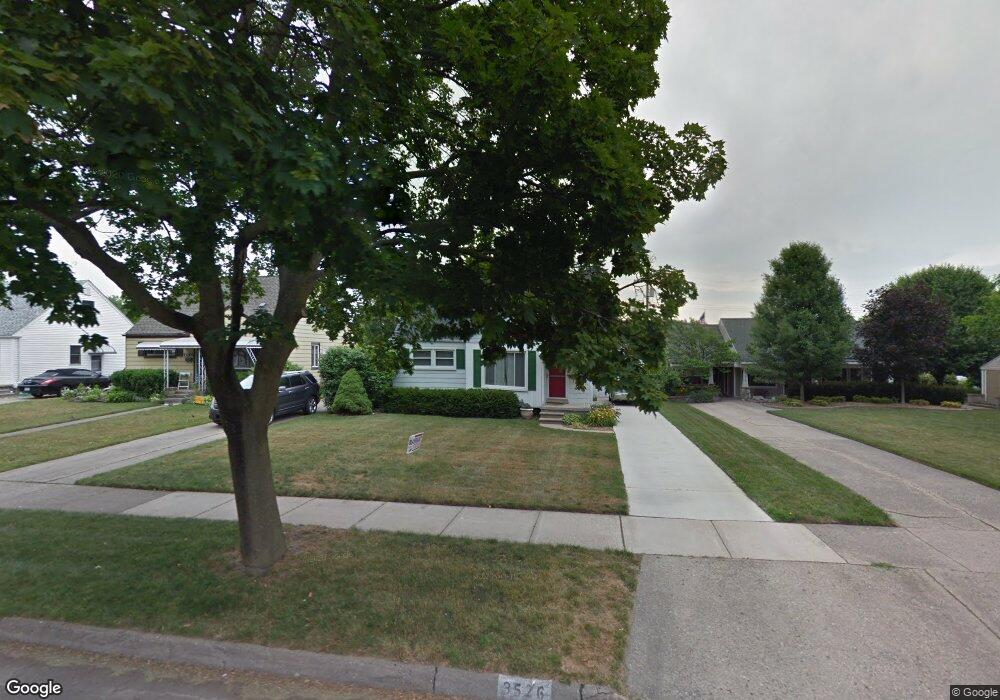
3526 Woodland Ave Royal Oak, MI 48073
Estimated Value: $320,000 - $348,000
3
Beds
1
Bath
926
Sq Ft
$358/Sq Ft
Est. Value
About This Home
This home is located at 3526 Woodland Ave, Royal Oak, MI 48073 and is currently estimated at $331,392, approximately $357 per square foot. 3526 Woodland Ave is a home located in Oakland County with nearby schools including Addams Elementary, Royal Oak Middle School, and Royal Oak High School.
Ownership History
Date
Name
Owned For
Owner Type
Purchase Details
Closed on
Aug 23, 2000
Sold by
Field Kimberly L
Bought by
Hartwell Kay
Current Estimated Value
Home Financials for this Owner
Home Financials are based on the most recent Mortgage that was taken out on this home.
Original Mortgage
$115,000
Outstanding Balance
$41,492
Interest Rate
8.15%
Estimated Equity
$289,900
Purchase Details
Closed on
Jul 31, 1997
Sold by
Mitchell Lisa G
Bought by
Field Kimberly L
Home Financials for this Owner
Home Financials are based on the most recent Mortgage that was taken out on this home.
Original Mortgage
$99,200
Interest Rate
7.71%
Create a Home Valuation Report for This Property
The Home Valuation Report is an in-depth analysis detailing your home's value as well as a comparison with similar homes in the area
Home Values in the Area
Average Home Value in this Area
Purchase History
| Date | Buyer | Sale Price | Title Company |
|---|---|---|---|
| Hartwell Kay | $156,000 | -- | |
| Field Kimberly L | $124,000 | -- |
Source: Public Records
Mortgage History
| Date | Status | Borrower | Loan Amount |
|---|---|---|---|
| Open | Hartwell Kay | $115,000 | |
| Previous Owner | Field Kimberly L | $99,200 |
Source: Public Records
Tax History Compared to Growth
Tax History
| Year | Tax Paid | Tax Assessment Tax Assessment Total Assessment is a certain percentage of the fair market value that is determined by local assessors to be the total taxable value of land and additions on the property. | Land | Improvement |
|---|---|---|---|---|
| 2024 | $2,328 | $114,820 | $0 | $0 |
| 2022 | $2,751 | $103,190 | $0 | $0 |
| 2020 | $2,262 | $91,110 | $0 | $0 |
| 2018 | $2,751 | $83,480 | $0 | $0 |
| 2017 | $2,644 | $83,480 | $0 | $0 |
| 2015 | -- | $73,790 | $0 | $0 |
| 2014 | -- | $71,970 | $0 | $0 |
| 2011 | -- | $61,630 | $0 | $0 |
Source: Public Records
Map
Nearby Homes
- 3532 Woodland Ave
- 3601 Durham Rd
- 3526 Durham Rd
- 3402 Woodland Ave
- 4102 Woodland Ave
- 4019 Devon Rd
- 3100 Linwood Ave Unit B, 28
- 4101 Devon Rd
- 4112 Elmhurst Ave
- 3439 Benjamin Ave Unit 121
- 4115 Elmhurst Ave
- 3415 Benjamin Ave Unit 505
- 3122 Benjamin Ave
- 4109 Benjamin Ave Unit 2
- 2503 W 13 Mile Rd Unit 18
- 3025 Clawson Ave
- 4227 Crooks Rd
- 2916 Clawson Ave
- 1304 W Windemere Ave
- 2500 Normandy Rd Unit 46
- 3518 Woodland Ave
- 3534 Woodland Ave
- 3512 Woodland Ave
- 3525 Durham Rd
- 3521 Durham Rd
- 3527 Durham Rd
- 3604 Woodland Ave
- 3515 Durham Rd
- 3508 Woodland Ave
- 3531 Durham Rd
- 3523 Woodland Ave
- 3521 Woodland Ave
- 3531 Woodland Ave
- 3517 Woodland Ave
- 3610 Woodland Ave
- 3505 Durham Rd
- 3504 Woodland Ave
- 3511 Woodland Ave
- 3535 Woodland Ave
- 3605 Durham Rd