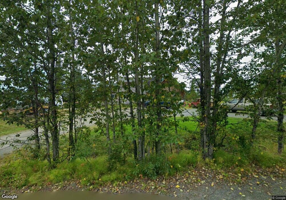
35265 Sabea Cir Anchor Point, AK 99556
Estimated Value: $100,000 - $383,103
3
Beds
2
Baths
1,837
Sq Ft
$153/Sq Ft
Est. Value
About This Home
This home is located at 35265 Sabea Cir, Anchor Point, AK 99556 and is currently estimated at $281,034, approximately $152 per square foot. 35265 Sabea Cir is a home with nearby schools including Chapman School and Homer High School.
Ownership History
Date
Name
Owned For
Owner Type
Purchase Details
Closed on
Jul 15, 2004
Sold by
Dieckgraeff David
Bought by
Dieckgraeff Frank and Dieckgraeff Barbara
Current Estimated Value
Purchase Details
Closed on
Mar 22, 2004
Sold by
Stephen A Kesner Defined Benefit Plan
Bought by
Drake Gary A and Wambach Jennifer
Home Financials for this Owner
Home Financials are based on the most recent Mortgage that was taken out on this home.
Original Mortgage
$103,750
Outstanding Balance
$42,770
Interest Rate
4%
Mortgage Type
Purchase Money Mortgage
Estimated Equity
$238,264
Create a Home Valuation Report for This Property
The Home Valuation Report is an in-depth analysis detailing your home's value as well as a comparison with similar homes in the area
Purchase History
| Date | Buyer | Sale Price | Title Company |
|---|---|---|---|
| Dieckgraeff Frank | -- | -- | |
| Drake Gary A | -- | First American Title Of Alas |
Source: Public Records
Mortgage History
| Date | Status | Borrower | Loan Amount |
|---|---|---|---|
| Open | Drake Gary A | $103,750 |
Source: Public Records
Tax History
| Year | Tax Paid | Tax Assessment Tax Assessment Total Assessment is a certain percentage of the fair market value that is determined by local assessors to be the total taxable value of land and additions on the property. | Land | Improvement |
|---|---|---|---|---|
| 2025 | $1,567 | $222,400 | $32,600 | $189,800 |
| 2024 | $784 | $202,000 | $31,100 | $170,900 |
| 2023 | $1,459 | $185,500 | $26,200 | $159,300 |
| 2022 | $1,410 | $177,100 | $17,300 | $159,800 |
| 2021 | $1,632 | $171,400 | $16,800 | $154,600 |
| 2020 | $1,628 | $195,500 | $16,800 | $178,700 |
| 2019 | $649 | $166,400 | $24,200 | $142,200 |
| 2018 | $1,632 | $196,400 | $24,200 | $172,200 |
| 2017 | $1,131 | $153,300 | $24,200 | $129,100 |
| 2016 | $1,023 | $143,400 | $24,200 | $119,200 |
| 2015 | $1,593 | $146,200 | $24,200 | $122,000 |
| 2014 | $1,593 | $148,700 | $24,200 | $124,500 |
Source: Public Records
Map
Nearby Homes
- 72155 Shannon Rd
- 26935 Sterling Hwy
- 26220 Sterling Hwy
- 35825 Sterling Hwy
- 35196 Nordic Ct
- 35605 Erin Way
- 35765 Erin Way
- 33625 Anchor Ct
- 70975 Mark Ln
- 000 Old Sterling Hwy
- 73340 School Ave
- 73487 Ann Ct
- 73549 Breakaway Rd
- L9 Old Sterling Hwy
- 34405 Birch St
- 34427 Birch St
- 34191 Chapman St
- 73528 Breakaway Rd
- 73595 School Ave
- L3 Aquila Wings Rd
- 35093 Sabea Cir
- L5 Sabea Cir
- 35125 Sabea Cir
- 35023 Sabea Cir
- 35258 Sabea
- 35278 Sabea Cir
- 35228 Sabea
- 35435 Sterling Hwy
- 000 T05sr15ws11
- 35410 Sterling Hwy
- 35120 Sabea Cir
- 35451 Sterling Hwy
- 35495 Sterling Hwy
- 35475 Sterling Hwy
- 35263 I Benson Rd
- 35351 I Benson Rd
- 35548 Sterling Hwy
- Lot 3 Rd
- Lot 7 Brow Tine Rd
- Lot 6 Brow Tine Rd
Your Personal Tour Guide
Ask me questions while you tour the home.
