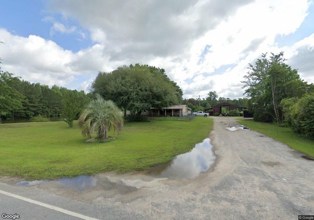
3527 Bloomville Rd Manning, SC 29102
Estimated Value: $212,000 - $460,000
Studio
--
Bath
768
Sq Ft
$438/Sq Ft
Est. Value
About This Home
This home is located at 3527 Bloomville Rd, Manning, SC 29102 and is currently estimated at $336,000, approximately $437 per square foot. 3527 Bloomville Rd is a home.
Ownership History
Date
Name
Owned For
Owner Type
Purchase Details
Closed on
Sep 7, 2023
Sold by
Barrett Edward T
Bought by
Harley Tracy L
Current Estimated Value
Purchase Details
Closed on
Oct 14, 2021
Sold by
Barrett Edward T
Bought by
Barrett Cynthia L
Purchase Details
Closed on
Mar 15, 2018
Sold by
Barrett Edward T
Bought by
Purdy Robin R
Purchase Details
Closed on
Nov 16, 2017
Sold by
Barrett Edward T
Bought by
Woodbury David M and Woodbury Tracy Ann L
Create a Home Valuation Report for This Property
The Home Valuation Report is an in-depth analysis detailing your home's value as well as a comparison with similar homes in the area
Purchase History
| Date | Buyer | Sale Price | Title Company |
|---|---|---|---|
| Harley Tracy L | $20,000 | None Listed On Document | |
| Barrett Cynthia L | -- | None Available | |
| Purdy Robin R | -- | -- | |
| Woodbury David M | -- | None Available |
Source: Public Records
Tax History
| Year | Tax Paid | Tax Assessment Tax Assessment Total Assessment is a certain percentage of the fair market value that is determined by local assessors to be the total taxable value of land and additions on the property. | Land | Improvement |
|---|---|---|---|---|
| 2025 | $248 | $913 | $913 | $0 |
| 2024 | $248 | $1,214 | $1,214 | $0 |
| 2023 | $249 | $6,375 | $4,195 | $2,180 |
| 2022 | $247 | $6,375 | $4,195 | $2,180 |
| 2020 | $643 | $5,956 | $4,348 | $1,608 |
| 2019 | $731 | $5,956 | $4,348 | $1,608 |
| 2018 | $658 | $2,260 | $0 | $0 |
| 2017 | $660 | $2,260 | $0 | $0 |
| 2016 | $648 | $4,520 | $0 | $0 |
| 2015 | $564 | $1,988 | $648 | $1,340 |
| 2014 | $555 | $1,988 | $648 | $1,340 |
| 2013 | -- | $1,988 | $648 | $1,340 |
Source: Public Records
Map
Nearby Homes
- 1060 Hideout Dr
- 1826 Bethlehem Rd
- 2147 Bloomville Rd
- 1158 Doral Dr
- 1208 Heritage Dr
- 1200 Mulligan Dr
- 1052 Mulligan Dr
- 1064 Mulligan Dr
- 1092 Mulligan Dr
- 1100 Mulligan Dr
- 1116 Mulligan Dr
- 1130 Mulligan Dr
- 1063 Birdie Ct
- 2719 Mallett Rd
- 1022 Mulligan Dr
- 1156 Mulligan Dr
- 1162 Mulligan Dr
- 1085 Birdie Ct
- 1639 Heritage Dr
- 1121 Mulligan Dr
- 3679 Bloomville Rd
- 3681 Bloomville Rd
- 1194 Jerro Rd
- 1023 Hideout Dr
- 1266 Brewer Rd
- 1078 Goodwill Church Rd
- TRACT 17 Hideout Dr
- 3265 Bloomville Rd
- 3709 Bloomville Rd
- 1099 Hideout Dr
- 1124 Goodwill Church Rd
- 4025 Bloomville Rd
- 1152 Brewer Rd
- 1346 Brewer Rd
- 1190 Goodwill Church Rd
- 1488 Jerro Rd
- 1315 Hideout Dr
- 1242 Goodwill Church Rd
- 3112 Bloomville Rd
- 1544 Jerro Rd
Your Personal Tour Guide
Ask me questions while you tour the home.