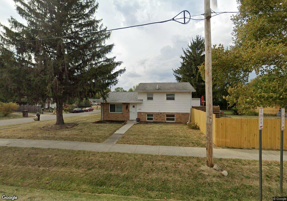
3527 Parsons Ave Columbus, OH 43207
Obetz-Lockbourne NeighborhoodEstimated Value: $162,000 - $195,000
3
Beds
1
Bath
1,053
Sq Ft
$168/Sq Ft
Est. Value
About This Home
This home is located at 3527 Parsons Ave, Columbus, OH 43207 and is currently estimated at $177,096, approximately $168 per square foot. 3527 Parsons Ave is a home located in Franklin County with nearby schools including Parsons Elementary School, Buckeye Middle School, and Marion-Franklin High School.
Ownership History
Date
Name
Owned For
Owner Type
Purchase Details
Closed on
Mar 29, 2006
Sold by
Alfred Elizabeth C
Bought by
Battle Kathy R
Current Estimated Value
Home Financials for this Owner
Home Financials are based on the most recent Mortgage that was taken out on this home.
Original Mortgage
$38,000
Outstanding Balance
$833
Interest Rate
6.38%
Mortgage Type
Fannie Mae Freddie Mac
Estimated Equity
$176,263
Purchase Details
Closed on
Oct 11, 2000
Sold by
Alfred Herschel J and Alfred Elizabeth C
Bought by
Alfred Herschel J and Alfred Elizabeth C
Create a Home Valuation Report for This Property
The Home Valuation Report is an in-depth analysis detailing your home's value as well as a comparison with similar homes in the area
Home Values in the Area
Average Home Value in this Area
Purchase History
| Date | Buyer | Sale Price | Title Company |
|---|---|---|---|
| Battle Kathy R | $90,900 | Amerititle | |
| Alfred Herschel J | -- | -- |
Source: Public Records
Mortgage History
| Date | Status | Borrower | Loan Amount |
|---|---|---|---|
| Open | Battle Kathy R | $38,000 |
Source: Public Records
Tax History
| Year | Tax Paid | Tax Assessment Tax Assessment Total Assessment is a certain percentage of the fair market value that is determined by local assessors to be the total taxable value of land and additions on the property. | Land | Improvement |
|---|---|---|---|---|
| 2025 | $1,985 | $44,240 | $14,700 | $29,540 |
| 2024 | $1,985 | $44,240 | $14,700 | $29,540 |
| 2023 | $1,960 | $44,240 | $14,700 | $29,540 |
| 2022 | $1,674 | $32,270 | $10,570 | $21,700 |
| 2021 | $1,677 | $32,270 | $10,570 | $21,700 |
| 2020 | $1,679 | $32,270 | $10,570 | $21,700 |
| 2019 | $1,635 | $26,950 | $8,820 | $18,130 |
| 2018 | $1,521 | $26,950 | $8,820 | $18,130 |
| 2017 | $1,897 | $26,950 | $8,820 | $18,130 |
| 2016 | $1,554 | $23,460 | $5,710 | $17,750 |
| 2015 | $1,411 | $23,460 | $5,710 | $17,750 |
| 2014 | $1,414 | $23,460 | $5,710 | $17,750 |
| 2013 | $735 | $24,710 | $6,020 | $18,690 |
Source: Public Records
Map
Nearby Homes
- 3458 S 8th St
- 245 Marilla Rd
- 525 Ashwood Rd
- 3714 Parsons Ave
- 3691 Ferman Rd
- 484 Cedarwood Rd
- 3325 Parsons Ave
- 256 Rumsey Rd Unit 258
- 577 Barcher Rd
- 0 Parsons Ave Unit 225012522
- 3735 Christie Rd W
- 445 Basswood Rd
- 3204 Lee Ellen Place
- 691 Colton Rd
- 3234 E Ave
- 1633-1635 E Greenway Ave
- 3785 S Ohio Ave
- 3127 Parsons Ave
- 0 Williams Rd
- 0 Jana Kay Ct
Your Personal Tour Guide
Ask me questions while you tour the home.