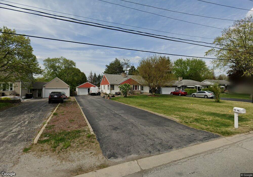
3528 Bernice Rd Lansing, IL 60438
Estimated Value: $186,000 - $224,000
3
Beds
1
Bath
1,310
Sq Ft
$158/Sq Ft
Est. Value
About This Home
This home is located at 3528 Bernice Rd, Lansing, IL 60438 and is currently estimated at $207,265, approximately $158 per square foot. 3528 Bernice Rd is a home located in Cook County with nearby schools including Reavis Elementary School, Memorial Jr High School, and Thornton Fractnl So High School.
Ownership History
Date
Name
Owned For
Owner Type
Purchase Details
Closed on
Aug 9, 2021
Sold by
Pool David W and Pool Kathleen A
Bought by
Pool Kathleen A
Current Estimated Value
Home Financials for this Owner
Home Financials are based on the most recent Mortgage that was taken out on this home.
Original Mortgage
$91,000
Interest Rate
2.25%
Mortgage Type
New Conventional
Create a Home Valuation Report for This Property
The Home Valuation Report is an in-depth analysis detailing your home's value as well as a comparison with similar homes in the area
Home Values in the Area
Average Home Value in this Area
Purchase History
| Date | Buyer | Sale Price | Title Company |
|---|---|---|---|
| Pool Kathleen A | -- | Liberty Title & Escrow Co |
Source: Public Records
Mortgage History
| Date | Status | Borrower | Loan Amount |
|---|---|---|---|
| Closed | Pool Kathleen A | $91,000 |
Source: Public Records
Tax History
| Year | Tax Paid | Tax Assessment Tax Assessment Total Assessment is a certain percentage of the fair market value that is determined by local assessors to be the total taxable value of land and additions on the property. | Land | Improvement |
|---|---|---|---|---|
| 2025 | $6,379 | $14,993 | $7,493 | $7,500 |
| 2024 | $6,379 | $14,993 | $7,493 | $7,500 |
| 2023 | $5,072 | $16,500 | $9,000 | $7,500 |
| 2022 | $5,072 | $11,225 | $7,875 | $3,350 |
| 2021 | $4,990 | $11,224 | $7,875 | $3,349 |
| 2020 | $4,765 | $11,224 | $7,875 | $3,349 |
| 2019 | $5,200 | $12,563 | $7,312 | $5,251 |
| 2018 | $5,100 | $12,563 | $7,312 | $5,251 |
| 2017 | $5,184 | $12,563 | $7,312 | $5,251 |
| 2016 | $5,217 | $12,038 | $6,750 | $5,288 |
| 2015 | $4,783 | $12,038 | $6,750 | $5,288 |
| 2014 | $4,745 | $12,038 | $6,750 | $5,288 |
| 2013 | $4,702 | $13,072 | $6,750 | $6,322 |
Source: Public Records
Map
Nearby Homes
- 3409 173rd Place
- 3347 Bernice Rd
- 17335 Community St
- 17244 Wentworth Ave
- 17519 Community St
- 17246 Bernadine St
- 17526 Shirley Dr
- 17204 Bernadine St
- 17303 Roy St
- 17518 Roy St
- 17423 Walter St
- 17226 Community St
- 17614 Community St
- 17702 Bernadine St
- 17706 Wentworth Ave
- 17128 Grant St
- 17318 Walter St
- 3636 172nd St
- 17153 Walter St
- 7624 Forest Ave
- 17417 Bernadine St
- 17421 Bernadine St
- 17421 Bernadine St
- 17427 Bernadine St
- 17427 Bernadine St
- 3524 Bernice Rd
- 3520 Bernice Rd
- 3441 Bernice Rd
- 3532 Bernice Rd
- 3516 Bernice Rd
- 3534 Bernice Rd
- 3512 Bernice Rd
- 3536 Bernice Rd
- 17503 William St
- 3508 Bernice Rd
- 17502 Bernadine St
- 3425 Bernice Rd
- 3425 Bernice Rd
- 17502 William St
- 17507 William St