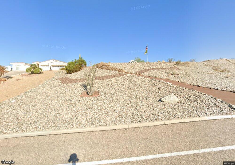
3529 Kiowa Blvd S Lake Havasu City, AZ 86404
Estimated Value: $153,903 - $191,000
--
Bed
--
Bath
--
Sq Ft
0.36
Acres
About This Home
This home is located at 3529 Kiowa Blvd S, Lake Havasu City, AZ 86404 and is currently estimated at $172,452. 3529 Kiowa Blvd S is a home located in Mohave County with nearby schools including Havasupai Elementary School, Thunderbolt Middle School, and Lake Havasu High School.
Ownership History
Date
Name
Owned For
Owner Type
Purchase Details
Closed on
Jan 6, 2010
Sold by
Hinkle Kevin
Bought by
Mugford Gary G and Mugford Jill A
Current Estimated Value
Purchase Details
Closed on
Jun 21, 2004
Sold by
Keenan Arthur J
Bought by
Hinkle Kevin
Home Financials for this Owner
Home Financials are based on the most recent Mortgage that was taken out on this home.
Original Mortgage
$77,000
Interest Rate
6.29%
Mortgage Type
New Conventional
Purchase Details
Closed on
Jan 27, 2004
Sold by
Keenan Arthur J
Bought by
Keenan Arthur J
Create a Home Valuation Report for This Property
The Home Valuation Report is an in-depth analysis detailing your home's value as well as a comparison with similar homes in the area
Home Values in the Area
Average Home Value in this Area
Purchase History
| Date | Buyer | Sale Price | Title Company |
|---|---|---|---|
| Mugford Gary G | $55,000 | Chicago Title Insurance Co L | |
| Hinkle Kevin | $110,000 | Transnation Title Ins Co | |
| Keenan Arthur J | -- | -- |
Source: Public Records
Mortgage History
| Date | Status | Borrower | Loan Amount |
|---|---|---|---|
| Previous Owner | Hinkle Kevin | $77,000 |
Source: Public Records
Tax History Compared to Growth
Tax History
| Year | Tax Paid | Tax Assessment Tax Assessment Total Assessment is a certain percentage of the fair market value that is determined by local assessors to be the total taxable value of land and additions on the property. | Land | Improvement |
|---|---|---|---|---|
| 2026 | -- | -- | -- | -- |
| 2025 | $617 | $18,963 | $0 | $0 |
| 2024 | $617 | $17,914 | $0 | $0 |
| 2023 | $617 | $15,064 | $0 | $0 |
| 2022 | $591 | $8,151 | $0 | $0 |
| 2021 | $738 | $8,709 | $0 | $0 |
| 2019 | $706 | $6,231 | $0 | $0 |
| 2018 | $685 | $5,966 | $0 | $0 |
| 2017 | $679 | $6,385 | $0 | $0 |
| 2016 | $623 | $6,099 | $0 | $0 |
| 2015 | $632 | $5,295 | $0 | $0 |
Source: Public Records
Map
Nearby Homes
- 3525 Kiowa Blvd S
- 3501 Amberwood Place
- 340 Opossum Dr
- 3461 Antelope Dr
- 3446 S Amberwood Bay
- 3646 Yazoo Ln
- 3610 Pontchartrain Dr
- 3410 Kiowa Blvd S
- 3550 Tecumseh Dr
- 3390 Amberwood Ave
- 3691 Yazoo Dr
- 3630 Yucca Dr
- 3481 Pocahontas Dr
- 3851 Texoma Dr
- 3493 Mitchell Ln
- 3861 Texoma Dr
- 3811 Canyon Cove Dr
- 3780 Hiawatha Dr
- 3776 Hiawatha Dr
- 3681 Yucca Dr
- 3533 Kiowa Blvd S
- 3521 Kiowa Blvd S
- 3537 S Kiowa Blvd S
- 3521 Kiowa Blvd S
- 3541 Kiowa Blvd S
- 3528 Amberwood Place
- 3524 Amberwood Place
- 3532 Amberwood Place
- 3517 Kiowa Blvd S
- 3541 Kiowa Blvd S
- 357 Driftwood Dr
- 3520 Amberwood Place
- 336 Driftwood Dr
- 3542 Amberwood Place
- 3524 Kiowa Blvd S
- 3540 Kiowa Blvd S
- 3513 Kiowa Blvd S
- 3547 Kiowa Blvd S
- 347 Driftwood Dr
- 3512 Amberwood Place