353 Deep Roots Dr Rolesville, NC 27571
Estimated Value: $776,000
--
Bed
1
Bath
4,356
Sq Ft
$178/Sq Ft
Est. Value
About This Home
This home is located at 353 Deep Roots Dr, Rolesville, NC 27571 and is currently estimated at $776,000, approximately $178 per square foot. 353 Deep Roots Dr is a home with nearby schools including Sanford Creek Elementary School, Rolesville Middle School, and Rolesville High School.
Ownership History
Date
Name
Owned For
Owner Type
Purchase Details
Closed on
May 15, 2020
Sold by
Pearce Sylvia W and Pearce Richard Louis
Bought by
Williams James H and Williams Sue Candle
Current Estimated Value
Home Financials for this Owner
Home Financials are based on the most recent Mortgage that was taken out on this home.
Original Mortgage
$227,800
Outstanding Balance
$180,887
Interest Rate
3.3%
Mortgage Type
Future Advance Clause Open End Mortgage
Estimated Equity
$595,113
Create a Home Valuation Report for This Property
The Home Valuation Report is an in-depth analysis detailing your home's value as well as a comparison with similar homes in the area
Home Values in the Area
Average Home Value in this Area
Purchase History
| Date | Buyer | Sale Price | Title Company |
|---|---|---|---|
| Williams James H | $350,500 | None Available | |
| Brereton Timothy John | $350,500 | None Listed On Document |
Source: Public Records
Mortgage History
| Date | Status | Borrower | Loan Amount |
|---|---|---|---|
| Open | Brereton Timothy John | $227,800 | |
| Closed | Brereton Timothy John | $227,800 |
Source: Public Records
Tax History Compared to Growth
Tax History
| Year | Tax Paid | Tax Assessment Tax Assessment Total Assessment is a certain percentage of the fair market value that is determined by local assessors to be the total taxable value of land and additions on the property. | Land | Improvement |
|---|---|---|---|---|
| 2025 | $9,422 | $1,469,931 | $297,490 | $1,172,441 |
| 2024 | $9,148 | $1,469,931 | $297,490 | $1,172,441 |
| 2022 | $7,494 | $1,034,870 | $285,170 | $749,700 |
| 2021 | $1,835 | $261,170 | $261,170 | $0 |
| 2020 | $1,805 | $261,170 | $261,170 | $0 |
| 2019 | $2,133 | $261,170 | $261,170 | $0 |
| 2018 | $1,960 | $261,170 | $261,170 | $0 |
| 2017 | $1,857 | $261,170 | $261,170 | $0 |
| 2016 | $1,819 | $261,170 | $261,170 | $0 |
| 2015 | $2,093 | $301,350 | $301,350 | $0 |
| 2014 | $1,983 | $301,350 | $301,350 | $0 |
Source: Public Records
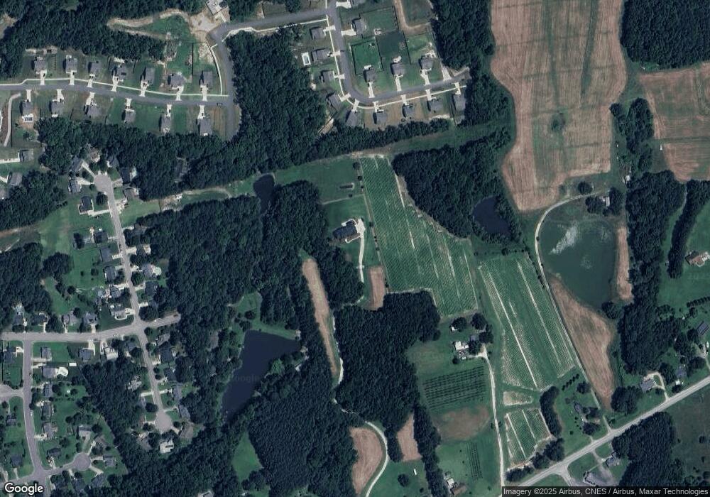
Map
Nearby Homes
- 236 Lily Oak Dr
- 233 Lily Oak Dr
- 1125 Dartford Green Place
- 118 Brandi Dr
- 133 Nortwick Rd
- 1117 Dartford Green Place
- 1121 Dartford Green Place
- 1113 Dartford Green Place
- 452 Golden Dragonfly St
- 448 Golden Dragonfly St
- 444 Golden Dragonfly St
- 440 Golden Dragonfly St
- 436 Golden Dragonfly St
- 432 Golden Dragonfly St
- 868 Bullhorn Dr
- 728 Holstein Dairy Way
- 724 Holstein Dairy Way
- 721 Holstein Dairy Way
- 11633 Louisburg Rd
- 717 Holstein Dairy Way
- 721 Scenic Pond Way
- 725 Scenic Pond Way
- 729 Scenic Pond Way
- 717 Scenic Pond Way
- 719 N Main St
- 713 Scenic Pond Way
- 109 Wagon Branch Rd
- 709 Scenic Pond Way
- 733 Scenic Pond Way
- 328 Sparrow Ridge Dr
- 720 Scenic Pond Way
- 211 Wagon Branch Rd
- 716 Scenic Pond Way
- 737 Scenic Pond Way
- 114 Allie Bell Ln
- 116 Allie Bell Ln
- 112 Allie Bell Ln
- 110 Allie Bell Ln
- 200 Allie Bell Ln
- 712 Scenic Pond Way