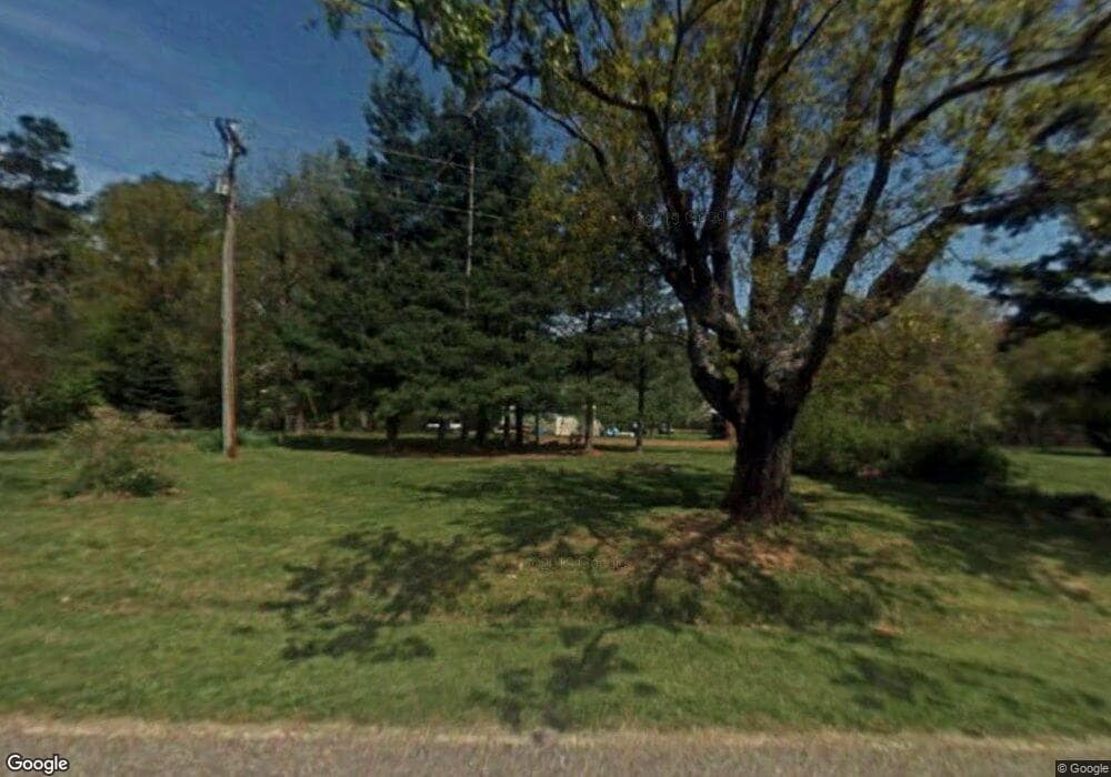
353 Doby Rd Mocksville, NC 27028
Estimated Value: $382,000 - $758,000
1
Bed
2
Baths
1,451
Sq Ft
$382/Sq Ft
Est. Value
About This Home
This home is located at 353 Doby Rd, Mocksville, NC 27028 and is currently estimated at $554,192, approximately $381 per square foot. 353 Doby Rd is a home located in Iredell County with nearby schools including Harmony Elementary School, North Iredell Middle School, and North Iredell High School.
Ownership History
Date
Name
Owned For
Owner Type
Purchase Details
Closed on
Sep 3, 2025
Sold by
Beck Blaine T
Bought by
Church And Church Lumber Company Llc
Current Estimated Value
Purchase Details
Closed on
Jan 25, 1999
Sold by
Treadway Esther V and Treadway Jerry A
Bought by
Beck Jesse Gray and Beck Alyce Nichols
Purchase Details
Closed on
Oct 1, 1995
Purchase Details
Closed on
Jun 1, 1970
Create a Home Valuation Report for This Property
The Home Valuation Report is an in-depth analysis detailing your home's value as well as a comparison with similar homes in the area
Home Values in the Area
Average Home Value in this Area
Purchase History
| Date | Buyer | Sale Price | Title Company |
|---|---|---|---|
| Church And Church Lumber Company Llc | $145,000 | None Listed On Document | |
| Church And Church Lumber Company Llc | $145,000 | None Listed On Document | |
| Beck Jesse Gray | $237,000 | -- | |
| -- | -- | -- | |
| -- | -- | -- |
Source: Public Records
Tax History Compared to Growth
Tax History
| Year | Tax Paid | Tax Assessment Tax Assessment Total Assessment is a certain percentage of the fair market value that is determined by local assessors to be the total taxable value of land and additions on the property. | Land | Improvement |
|---|---|---|---|---|
| 2025 | $2,295 | $378,840 | $222,000 | $156,840 |
| 2024 | $2,433 | $378,840 | $222,000 | $156,840 |
| 2023 | $2,295 | $378,840 | $222,000 | $156,840 |
| 2022 | $1,704 | $262,010 | $150,960 | $111,050 |
| 2021 | $1,700 | $262,010 | $150,960 | $111,050 |
| 2020 | $1,312 | $262,010 | $150,960 | $111,050 |
| 2019 | $1,291 | $262,010 | $150,960 | $111,050 |
| 2018 | $1,248 | $261,990 | $150,960 | $111,030 |
| 2017 | $1,248 | $261,990 | $150,960 | $111,030 |
| 2016 | $1,248 | $261,990 | $150,960 | $111,030 |
| 2015 | $1,248 | $261,990 | $150,960 | $111,030 |
| 2014 | $1,293 | $289,300 | $171,680 | $117,620 |
Source: Public Records
Map
Nearby Homes
- 118 Doby Rd
- 2440 Sandy Springs Rd
- 000 Ben Anderson Rd
- 508 Abbeydale Rd
- 000 Hamlet Rd
- 4675 Harmony Hwy
- 00 Harmony Hwy
- Mary Ln
- 00 Arnold Rd
- TBD Mary Ln
- 190 Sheffield Rd
- 000 Courtney Huntsville Rd
- Knollwood Plan at Providence Place
- Aster Plan at Providence Place
- Ledford Plan at Providence Place
- Cotton Grove Plan at Providence Place
- Abbott Plan at Providence Place
- Southmont Plan at Providence Place
- 286 Edwards Rd
- 200 Bramblewood Ln
- 346 Doby Rd
- 309 Doby Rd
- 156 Maple Tree Ln
- 905 Ollie Harkey Rd
- 186 Maple Tree Ln
- 0 Ollie Harkey
- 929 Ollie Harkey Rd
- 887 Ollie Harkey Rd
- 846 Ollie Harkey Rd
- 229 Doby Rd
- 796 Ollie Harkey Rd
- 214 Doby Rd
- 210 Doby Rd
- 176 Doby Rd
- 169 Doby Rd
- 168 Doby Rd
- 226 Karen Rd
- 160 Doby Rd
- 686 Ollie Harkey Rd
- 664 Ollie Harkey Rd
