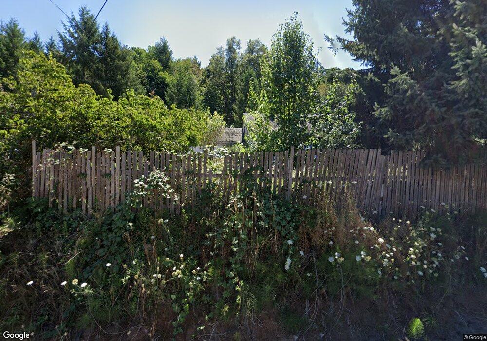
Estimated Value: $301,615 - $407,000
3
Beds
1
Bath
1,508
Sq Ft
$222/Sq Ft
Est. Value
About This Home
This home is located at 353 Drain Section Rd, Drain, OR 97435 and is currently estimated at $334,154, approximately $221 per square foot. 353 Drain Section Rd is a home located in Douglas County with nearby schools including North Douglas Elementary School and North Douglas High School.
Ownership History
Date
Name
Owned For
Owner Type
Purchase Details
Closed on
Sep 28, 2007
Sold by
Sparhawk Allen D and Sparhawk Krista
Bought by
Secord Richard Scott and Secord Jennifer Rae
Current Estimated Value
Home Financials for this Owner
Home Financials are based on the most recent Mortgage that was taken out on this home.
Original Mortgage
$128,000
Outstanding Balance
$80,836
Interest Rate
6.61%
Mortgage Type
Unknown
Estimated Equity
$253,318
Purchase Details
Closed on
Sep 27, 2007
Sold by
Alsup Jerry A and Alsup Connie Sue
Bought by
Sparhawk Allen and Sparhawk Krista
Home Financials for this Owner
Home Financials are based on the most recent Mortgage that was taken out on this home.
Original Mortgage
$128,000
Outstanding Balance
$80,836
Interest Rate
6.61%
Mortgage Type
Unknown
Estimated Equity
$253,318
Create a Home Valuation Report for This Property
The Home Valuation Report is an in-depth analysis detailing your home's value as well as a comparison with similar homes in the area
Home Values in the Area
Average Home Value in this Area
Purchase History
| Date | Buyer | Sale Price | Title Company |
|---|---|---|---|
| Secord Richard Scott | $160,000 | First American | |
| Sparhawk Allen | $104,000 | First American Title Ins Co |
Source: Public Records
Mortgage History
| Date | Status | Borrower | Loan Amount |
|---|---|---|---|
| Open | Secord Richard Scott | $128,000 | |
| Closed | Sparhawk Allen | $8,000 |
Source: Public Records
Tax History Compared to Growth
Tax History
| Year | Tax Paid | Tax Assessment Tax Assessment Total Assessment is a certain percentage of the fair market value that is determined by local assessors to be the total taxable value of land and additions on the property. | Land | Improvement |
|---|---|---|---|---|
| 2025 | $1,537 | $140,642 | -- | -- |
| 2024 | $1,479 | $136,546 | -- | -- |
| 2023 | $1,441 | $132,569 | $0 | $0 |
| 2022 | $1,401 | $128,708 | $0 | $0 |
| 2021 | $1,364 | $124,960 | $0 | $0 |
| 2020 | $1,325 | $121,321 | $0 | $0 |
| 2019 | $1,288 | $117,788 | $0 | $0 |
| 2018 | $1,254 | $114,358 | $0 | $0 |
| 2017 | $1,170 | $111,028 | $0 | $0 |
| 2016 | $1,135 | $107,795 | $0 | $0 |
| 2015 | $1,099 | $104,656 | $0 | $0 |
| 2014 | $1,082 | $101,608 | $0 | $0 |
| 2013 | -- | $98,649 | $0 | $0 |
Source: Public Records
Map
Nearby Homes
- 504 Silver Ave
- 422 Elder St
- 405 Lane Ave
- 434 S Cedar St
- 412 Gardner Ave
- 410 Birch St
- 314 S Cedar St
- 0 Oregon 38 Unit 406573095
- 420 W D Ave
- 171 Hedrick Creek Ave
- 408 Whipple Ave
- 500 E B Ave
- 0 N 1st St
- 700 Upper Smith River Rd
- 4340 Oregon 38
- 4340 State Highway 38
- 5339 Hardscrabble Rd
- 485 Andrews Rd
- 435 Spruce St
- 841 Skelly Rd
- 409 Drain Section Rd
- 405 Drain Section Rd
- 441 Drain Section Rd
- 281 Drain Section Rd
- 483 Drain Section Rd
- 277 Drain Section Rd
- 239 Drain Section Rd
- 285 Drain Section Rd
- 0 Drain Section Rd
- 585 Drain Section Rd
- 653 Drain Section Rd
- 617 Lane Ave
- 902 Division Ave
- 901 Division Ave
- 611 John Ave
- 613 Silver Ave
- 606 John Ave
- 637 Lane Ave
- 606 John Ave
- 608 John Ave
