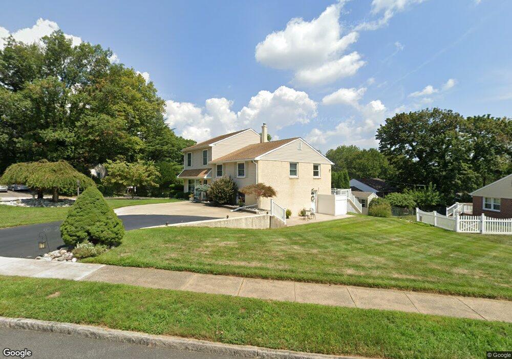
353 Gleaves Rd Springfield, PA 19064
Estimated Value: $645,036 - $685,000
4
Beds
3
Baths
3,057
Sq Ft
$216/Sq Ft
Est. Value
About This Home
This home is located at 353 Gleaves Rd, Springfield, PA 19064 and is currently estimated at $660,679, approximately $216 per square foot. 353 Gleaves Rd is a home located in Delaware County with nearby schools including Springfield High School, St Francis Of Assisi School, and Holy Cross School.
Ownership History
Date
Name
Owned For
Owner Type
Purchase Details
Closed on
Jun 16, 2017
Sold by
Baccaro Richard and Baccaro Jenine
Bought by
Baccaro Jenine
Current Estimated Value
Purchase Details
Closed on
Nov 9, 1998
Sold by
Baccaro Richard and Baccaro Jenine
Bought by
Baccaro Richard and Baccaro Jenine
Purchase Details
Closed on
Dec 9, 1997
Sold by
Osborne Ann
Bought by
The Chase Manhattan Bank and Chemical Bank
Create a Home Valuation Report for This Property
The Home Valuation Report is an in-depth analysis detailing your home's value as well as a comparison with similar homes in the area
Home Values in the Area
Average Home Value in this Area
Purchase History
| Date | Buyer | Sale Price | Title Company |
|---|---|---|---|
| Baccaro Jenine | -- | None Available | |
| Baccaro Richard | -- | -- | |
| The Chase Manhattan Bank | -- | -- |
Source: Public Records
Tax History
| Year | Tax Paid | Tax Assessment Tax Assessment Total Assessment is a certain percentage of the fair market value that is determined by local assessors to be the total taxable value of land and additions on the property. | Land | Improvement |
|---|---|---|---|---|
| 2025 | $9,229 | $328,360 | $108,090 | $220,270 |
| 2024 | $9,229 | $328,360 | $108,090 | $220,270 |
| 2023 | $8,887 | $328,360 | $108,090 | $220,270 |
| 2022 | $8,694 | $328,360 | $108,090 | $220,270 |
| 2021 | $13,465 | $328,360 | $108,090 | $220,270 |
| 2020 | $8,519 | $188,000 | $51,970 | $136,030 |
| 2019 | $8,319 | $188,000 | $51,970 | $136,030 |
| 2018 | $8,200 | $188,000 | $0 | $0 |
| 2017 | $8,010 | $188,000 | $0 | $0 |
| 2016 | $1,032 | $188,000 | $0 | $0 |
| 2015 | $1,053 | $188,000 | $0 | $0 |
| 2014 | $1,053 | $188,000 | $0 | $0 |
Source: Public Records
Map
Nearby Homes
- 249 Gleaves Rd
- 436 Kerr Ln
- 641 W Sproul Rd
- 147 Snyder Ln
- 1291 Country Club Dr Unit Q137
- 1299 Country Club Dr Unit Q141
- 364 S Rolling Rd
- 1363 Palmer Dr Unit O122
- 1364 Nicklaus Dr Unit O126
- 493 Wheatsheaf Rd
- 499 Collins Dr
- 264 Pancoast Ave
- 227 E Leamy Ave
- 1588 Nicklaus Dr Unit H65
- 412 Foster Dr
- 606 W Springfield Rd
- 720 Evans Rd
- 226 Lynbrooke Rd
- 225 Lynbrooke Rd
- 120 W Springfield Rd
Your Personal Tour Guide
Ask me questions while you tour the home.