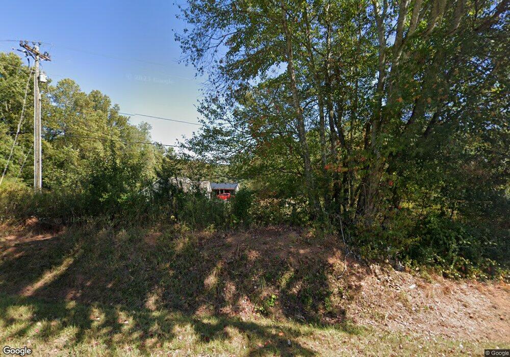
353 Grove St N Dahlonega, GA 30533
Estimated Value: $241,757 - $442,000
--
Bed
2
Baths
1,761
Sq Ft
$207/Sq Ft
Est. Value
About This Home
This home is located at 353 Grove St N, Dahlonega, GA 30533 and is currently estimated at $363,689, approximately $206 per square foot. 353 Grove St N is a home with nearby schools including Clay County Middle School and Lumpkin County High School.
Ownership History
Date
Name
Owned For
Owner Type
Purchase Details
Closed on
Mar 4, 2020
Sold by
Dahlonega Care Center Inc
Bought by
North Georgia Pregnancy Svcs Center Inc
Current Estimated Value
Home Financials for this Owner
Home Financials are based on the most recent Mortgage that was taken out on this home.
Original Mortgage
$60,000
Interest Rate
3.4%
Mortgage Type
Commercial
Purchase Details
Closed on
Oct 31, 1997
Bought by
Dahlonega Care Cente
Purchase Details
Closed on
May 22, 1997
Bought by
Dahlonega Baptis Ch
Purchase Details
Closed on
Nov 1, 1981
Bought by
Seabolt John Gordon
Create a Home Valuation Report for This Property
The Home Valuation Report is an in-depth analysis detailing your home's value as well as a comparison with similar homes in the area
Home Values in the Area
Average Home Value in this Area
Purchase History
| Date | Buyer | Sale Price | Title Company |
|---|---|---|---|
| North Georgia Pregnancy Svcs Center Inc | -- | -- | |
| Dahlonega Care Cente | $60,000 | -- | |
| Dahlonega Baptis Ch | -- | -- | |
| Seabolt John Gordon | -- | -- |
Source: Public Records
Mortgage History
| Date | Status | Borrower | Loan Amount |
|---|---|---|---|
| Closed | North Georgia Pregnancy Svcs Center Inc | $60,000 |
Source: Public Records
Tax History Compared to Growth
Tax History
| Year | Tax Paid | Tax Assessment Tax Assessment Total Assessment is a certain percentage of the fair market value that is determined by local assessors to be the total taxable value of land and additions on the property. | Land | Improvement |
|---|---|---|---|---|
| 2024 | -- | $62,122 | $14,339 | $47,783 |
| 2023 | $0 | $58,523 | $14,339 | $44,184 |
| 2022 | $1,729 | $56,586 | $14,339 | $42,247 |
| 2021 | $1,384 | $38,021 | $14,339 | $23,682 |
| 2020 | $1,356 | $37,249 | $14,339 | $22,910 |
| 2019 | $1,356 | $37,249 | $14,339 | $22,910 |
| 2018 | $1,258 | $34,566 | $14,339 | $20,227 |
| 2017 | $0 | $34,875 | $14,339 | $20,536 |
| 2016 | $1,155 | $32,758 | $14,339 | $18,419 |
| 2015 | -- | $32,758 | $14,339 | $18,419 |
| 2014 | -- | $33,523 | $14,339 | $19,184 |
| 2013 | -- | $33,952 | $14,338 | $19,614 |
Source: Public Records
Map
Nearby Homes
- 95 Jones St
- 399 N Chestatee St
- 94 Mountain View Dr
- 0 Highway 19 N Unit 10594984
- 502 Wimpy Mill Rd
- 315 Church St
- 0 S Chestatee St Unit 10619536
- 168 W Main St
- 1392 S Chestatee St
- 97 Beaumont Dr
- 329 Morrison Moore Pkwy E
- 6480A Highway 52
- 120 Riley Rd
- 490 N Hall Rd
- 0 Highway 60 Unit 7241582
- 0 Highway 9 S Unit 10487179
- 0 Highway 9 S Unit 7548614
- 0 Timberlane Dr Unit 10483799
- 0 Timberlane Dr Unit 7479971
- LOT 6 Sky Country Rd
- 361 Grove St N
- 318 Grove St N
- 297 Grove St N
- 255 N Grove St
- 272 Grove St N
- 0 Woodward Way Unit 3121172
- 0 Woodward Way Unit 7191502
- 0 Woodward Way Unit 7309884
- 0 Woodward Way Unit 7443098
- 0 Woodward Way Unit 8062331
- 0 Woodward Way Unit 3854287
- 0 Woodward Way Unit 4270860
- 0 Woodward Way Unit 5225559
- 0 Woodward Way
- 239 Grove St N
- 54 Cherokee Trail
- 65 Oliver Dr
- 479 Grove St N
- 79 Oliver Dr
- 17 Cherokee Trail