Estimated Value: $198,000 - $854,813
3
Beds
3
Baths
2,606
Sq Ft
$220/Sq Ft
Est. Value
About This Home
This home is located at 353 Hayes Branch Rd, Afton, VA 22920 and is currently estimated at $572,453, approximately $219 per square foot. 353 Hayes Branch Rd is a home located in Nelson County with nearby schools including Nelson County High School.
Ownership History
Date
Name
Owned For
Owner Type
Purchase Details
Closed on
Nov 4, 2014
Sold by
Coiner Lorrie V
Bought by
Coiner Charles B
Current Estimated Value
Purchase Details
Closed on
Nov 29, 2011
Sold by
Randall David F and Randall Rebecca L
Bought by
Coiner Lorrie and Coiner Charles B
Home Financials for this Owner
Home Financials are based on the most recent Mortgage that was taken out on this home.
Original Mortgage
$298,595
Interest Rate
3.99%
Mortgage Type
New Conventional
Create a Home Valuation Report for This Property
The Home Valuation Report is an in-depth analysis detailing your home's value as well as a comparison with similar homes in the area
Home Values in the Area
Average Home Value in this Area
Purchase History
| Date | Buyer | Sale Price | Title Company |
|---|---|---|---|
| Coiner Charles B | -- | None Available | |
| Coiner Lorrie | $542,900 | None Available |
Source: Public Records
Mortgage History
| Date | Status | Borrower | Loan Amount |
|---|---|---|---|
| Previous Owner | Coiner Lorrie | $298,595 |
Source: Public Records
Tax History Compared to Growth
Tax History
| Year | Tax Paid | Tax Assessment Tax Assessment Total Assessment is a certain percentage of the fair market value that is determined by local assessors to be the total taxable value of land and additions on the property. | Land | Improvement |
|---|---|---|---|---|
| 2025 | $3,945 | $702,200 | $142,000 | $560,200 |
| 2024 | $3,945 | $702,200 | $142,000 | $560,200 |
| 2023 | $3,945 | $702,200 | $142,000 | $560,200 |
| 2022 | $3,945 | $702,200 | $142,000 | $560,200 |
| 2021 | $3,683 | $606,800 | $137,000 | $469,800 |
| 2020 | $3,681 | $606,800 | $137,000 | $469,800 |
| 2019 | $3,681 | $606,800 | $137,000 | $469,800 |
| 2018 | $2,849 | $491,200 | $137,000 | $354,200 |
| 2017 | $3,336 | $463,400 | $137,000 | $326,400 |
| 2016 | $3,336 | $463,400 | $137,000 | $326,400 |
| 2015 | $2,639 | $462,000 | $137,000 | $325,000 |
| 2014 | $2,639 | $462,000 | $137,000 | $325,000 |
Source: Public Records
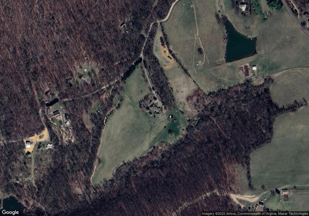
Map
Nearby Homes
- 9281 Dick Woods Rd
- 3B Goodloe Ln
- 2015 Stockton Creek Ln
- 2015 Stockton Creek Ln Unit Lot 10 Stockton Cree
- 11 Stockton Creek Ln
- 13 Stockton Creek Ln
- 14 Stockton Creek Ln
- 19 Stockton Creek Ln
- 17 Stockton Creek Ln
- 18 Stockton Creek Ln
- 90 Windhaven Ln
- 88 Windhaven Ln
- Block A Lot 1 Swannanoa Ln
- Block A Lot 1 Swannanoa Ln Unit 1
- Block A Lot 3 Swannanoa Ln
- Block A Lot 2 Swannanoa Ln
- Block A Lot 3 Swannanoa Ln Unit 1
- 00 Mountain Rd
- 8508 Dick Woods Rd
- 434 Hayes Branch Rd
- 316 Hayes Branch Rd
- 545 Hayes Branch Rd
- 548 Hayes Branch Rd
- 9473 Dick Woods Rd
- 150 Garwood Ln
- 9367 Dick Woods Rd
- 159 Garwood Ln
- 9475 & 9473 Dick Woods Rd Rd
- 9475 & 9473 Dick Woods Rd
- 9475 Dick Woods Rd
- 2750 Afton Mountain Rd
- 19 Hayes Branch Rd
- 9440 Dick Woods Rd
- 94 Afton Chapel Rd
- 9733 Old Turnpike Rd
- 9363 Dick Woods Rd
- 9386 Dick Woods Rd
- 9539 Dick Woods Rd
- 97 Garwood Ln