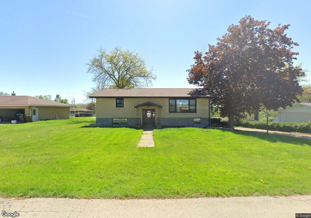
353 Highland Dr East Dubuque, IL 61025
Estimated Value: $263,107 - $307,000
3
Beds
2
Baths
2,352
Sq Ft
$121/Sq Ft
Est. Value
About This Home
This home is located at 353 Highland Dr, East Dubuque, IL 61025 and is currently estimated at $285,054, approximately $121 per square foot. 353 Highland Dr is a home located in Jo Daviess County with nearby schools including East Dubuque Elementary School, East Dubuque Junior High School, and East Dubuque High School.
Ownership History
Date
Name
Owned For
Owner Type
Purchase Details
Closed on
Jan 25, 2016
Sold by
Loney Michael C
Bought by
Loney Eric J
Current Estimated Value
Home Financials for this Owner
Home Financials are based on the most recent Mortgage that was taken out on this home.
Original Mortgage
$111,812
Outstanding Balance
$89,192
Interest Rate
3.97%
Mortgage Type
New Conventional
Estimated Equity
$195,862
Create a Home Valuation Report for This Property
The Home Valuation Report is an in-depth analysis detailing your home's value as well as a comparison with similar homes in the area
Home Values in the Area
Average Home Value in this Area
Purchase History
| Date | Buyer | Sale Price | Title Company |
|---|---|---|---|
| Loney Eric J | $140,000 | Attorney Only |
Source: Public Records
Mortgage History
| Date | Status | Borrower | Loan Amount |
|---|---|---|---|
| Open | Loney Eric J | $111,812 |
Source: Public Records
Tax History Compared to Growth
Tax History
| Year | Tax Paid | Tax Assessment Tax Assessment Total Assessment is a certain percentage of the fair market value that is determined by local assessors to be the total taxable value of land and additions on the property. | Land | Improvement |
|---|---|---|---|---|
| 2024 | $4,230 | $68,871 | $11,666 | $57,205 |
| 2023 | $4,284 | $64,408 | $9,990 | $54,418 |
| 2022 | $4,284 | $60,625 | $9,403 | $51,222 |
| 2021 | $3,984 | $60,625 | $9,403 | $51,222 |
| 2020 | $3,834 | $57,296 | $8,887 | $48,409 |
| 2019 | $3,587 | $55,065 | $5,351 | $49,714 |
| 2018 | $3,327 | $49,752 | $4,835 | $44,917 |
| 2017 | $3,265 | $49,752 | $4,835 | $44,917 |
| 2016 | $2,561 | $45,711 | $4,442 | $41,269 |
| 2015 | $2,439 | $42,716 | $4,151 | $38,565 |
| 2014 | $2,480 | $45,511 | $4,423 | $41,088 |
Source: Public Records
Map
Nearby Homes
- 1420 Hiawatha Dr
- 1045 Hiawatha Dr
- 380 Sherwood Ave
- 405 N Blake Ave
- 167 Sinsinawa Ave
- Lot 1 Wolff Ln
- Lot 2 Wolff Ln
- 8920 N Badger Rd
- 8891 N Badger Rd
- 436 Desoto Ave
- 19400 U S 20
- 422 Wyota Ave
- 203 E 5th St Unit near intersection of
- Lot 17 W Michelle Ct
- 165 Copper Kettle Ln
- 527 Badger Rd
- 10 Main St
- 0 Jones St Unit SWC of Water St
- 200 Main St
- 1328 Jackson St
- 355 Highland Dr
- 357 Highland Dr
- 361 Highland Dr
- 361 Highland Dr
- 365 Knaeble Ct
- 369 Knaeble Ct
- 369 Knaeble Ct
- 366 Knaeble Ct
- 364 Knaeble Ct
- 362 Knaeble Ct
- 363 Knaeble Ct
- 367 Knaeble Ct
- 354 Highland Dr
- 340 Highland Dr
- 360 Highland Dr
- 358 Highland Dr
- 356 Highland Dr
- 970 Il Route 35 N
- 922 Arrowhead Dr
- 938 Il Route 35 N