353 Kent St Unit A3 Andrews, NC 28901
Estimated Value: $291,949 - $327,000
3
Beds
2
Baths
2,025
Sq Ft
$153/Sq Ft
Est. Value
About This Home
This home is located at 353 Kent St Unit A3, Andrews, NC 28901 and is currently estimated at $309,987, approximately $153 per square foot. 353 Kent St Unit A3 is a home located in Cherokee County with nearby schools including Andrews Elementary School, Andrews Middle School, and Andrews High School.
Ownership History
Date
Name
Owned For
Owner Type
Purchase Details
Closed on
Dec 29, 2020
Sold by
Anderson Richard L and Anderson Kathi Renee
Bought by
Morgan Terry W and Morgan Michelle L
Current Estimated Value
Home Financials for this Owner
Home Financials are based on the most recent Mortgage that was taken out on this home.
Original Mortgage
$198,242
Outstanding Balance
$176,526
Interest Rate
2.71%
Mortgage Type
FHA
Estimated Equity
$133,461
Purchase Details
Closed on
Jul 27, 2018
Sold by
Hodge Gail E
Bought by
Anderson Richard Lyle and Anderson Kathi Renee
Purchase Details
Closed on
Feb 15, 2007
Sold by
Pullium Jerry C and Pullium Linda R
Bought by
Hough Gail E
Create a Home Valuation Report for This Property
The Home Valuation Report is an in-depth analysis detailing your home's value as well as a comparison with similar homes in the area
Home Values in the Area
Average Home Value in this Area
Purchase History
| Date | Buyer | Sale Price | Title Company |
|---|---|---|---|
| Morgan Terry W | $202,000 | None Available | |
| Anderson Richard Lyle | $155,760 | None Available | |
| Hough Gail E | $150,000 | -- |
Source: Public Records
Mortgage History
| Date | Status | Borrower | Loan Amount |
|---|---|---|---|
| Open | Morgan Terry W | $198,242 |
Source: Public Records
Tax History Compared to Growth
Tax History
| Year | Tax Paid | Tax Assessment Tax Assessment Total Assessment is a certain percentage of the fair market value that is determined by local assessors to be the total taxable value of land and additions on the property. | Land | Improvement |
|---|---|---|---|---|
| 2025 | $1,308 | $200,510 | $0 | $0 |
| 2024 | $1,308 | $200,510 | $0 | $0 |
| 2023 | $1,298 | $200,510 | $0 | $0 |
| 2022 | $1,298 | $200,510 | $0 | $0 |
| 2021 | $714 | $127,870 | $20,000 | $107,870 |
| 2020 | $0 | $127,870 | $0 | $0 |
| 2019 | $717 | $123,550 | $0 | $0 |
| 2018 | $717 | $123,550 | $0 | $0 |
| 2017 | $717 | $123,550 | $0 | $0 |
| 2016 | $717 | $123,550 | $0 | $0 |
| 2015 | $696 | $123,550 | $21,000 | $102,550 |
| 2012 | -- | $119,410 | $21,000 | $98,410 |
Source: Public Records
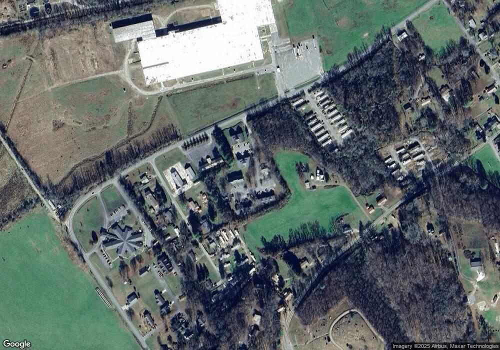
Map
Nearby Homes
- 00 River Dance Dr
- 230 Pisgah Rd Unit 430
- 96 Connaheta Ave
- 00 Main & Whitaker
- 00 Airport Rd
- 6765 Airport Rd
- 61 Fairview Rd
- TBD Colvard Ave
- 135.49ac Webb Creek Rd
- 000 Chestnut St
- 270 Cover Ave
- 000 Holland Farm Rd
- 45 Caboose Creek Ln
- 196 Johnson Ridge
- 110 Fisher St
- 1194 Main St
- 114 Sioux St
- 1229 Main St
- 00 U S 19
- 27 Russell Farm Rd
- 75 Mountain View Dr
- 101 Mountain View Dr
- 684 Fairview Rd
- 684 Fairview Rd
- 684 Fairview Rd
- 106 Watauga Ln
- 145 Mountain View Dr
- 000 Kent St
- 82 Watauga Ln
- 68 Mountain View Dr
- 96 Mountain View Dr
- 100 Mountain View Dr
- 36 Mountain View Dr
- 18 Mountain View Dr
- 770 Fairview Rd
- 128 Mountain View Dr
- 796 Fairview Rd
- 193 Mountain View Dr
- 193 Mountain View Dr
- 762 Fairview Rd