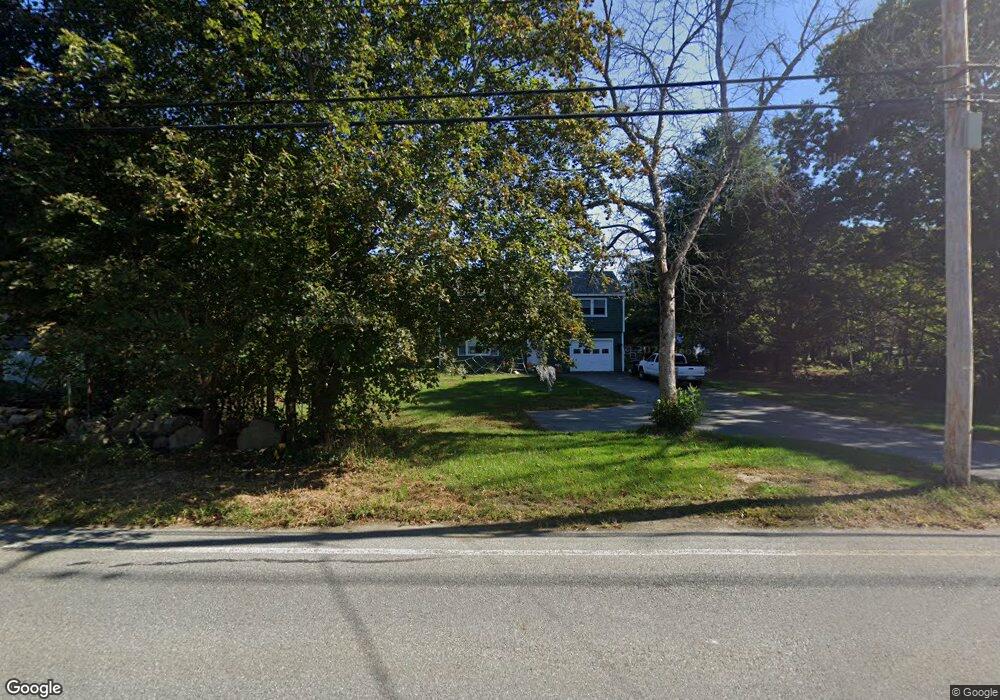
353 Main St Rowley, MA 01969
Estimated Value: $665,000 - $744,000
3
Beds
2
Baths
1,791
Sq Ft
$394/Sq Ft
Est. Value
About This Home
This home is located at 353 Main St, Rowley, MA 01969 and is currently estimated at $705,617, approximately $393 per square foot. 353 Main St is a home located in Essex County with nearby schools including Triton Regional High School, North Shore Montessori School, and Clark School.
Ownership History
Date
Name
Owned For
Owner Type
Purchase Details
Closed on
Dec 13, 2024
Sold by
Barrett Catherine I and Barrett Cebastian
Bought by
Barrett Catherine I
Current Estimated Value
Purchase Details
Closed on
Nov 26, 2024
Sold by
Barrett Catherine I
Bought by
Barrett Catherine I and Barrett Cebastian
Create a Home Valuation Report for This Property
The Home Valuation Report is an in-depth analysis detailing your home's value as well as a comparison with similar homes in the area
Home Values in the Area
Average Home Value in this Area
Purchase History
We collect this data history from publicly available records. To have your information removed, we recommend requesting removal directly through your county’s website.
| Date | Buyer | Sale Price | Title Company |
|---|---|---|---|
| Barrett Catherine I | -- | None Available | |
| Barrett Catherine I | -- | None Available | |
| Barrett Catherine I | -- | None Available | |
| Barrett Catherine I | -- | None Available | |
| Barrett Catherine I | -- | None Available |
Source: Public Records
Tax History
| Year | Tax Paid | Tax Assessment Tax Assessment Total Assessment is a certain percentage of the fair market value that is determined by local assessors to be the total taxable value of land and additions on the property. | Land | Improvement |
|---|---|---|---|---|
| 2025 | $7,389 | $627,800 | $328,800 | $299,000 |
| 2024 | $7,249 | $599,100 | $313,200 | $285,900 |
| 2023 | $6,976 | $535,800 | $269,300 | $266,500 |
| 2022 | $6,526 | $446,400 | $224,200 | $222,200 |
| 2021 | $6,330 | $406,300 | $197,200 | $209,100 |
| 2020 | $6,352 | $407,700 | $188,800 | $218,900 |
| 2019 | $5,649 | $384,800 | $188,800 | $196,000 |
| 2018 | $5,507 | $377,700 | $188,800 | $188,900 |
| 2017 | $5,341 | $377,700 | $188,800 | $188,900 |
| 2016 | $5,139 | $357,900 | $163,900 | $194,000 |
| 2015 | $4,601 | $323,100 | $161,300 | $161,800 |
Source: Public Records
Map
Nearby Homes
- 2 Railroad Ave Unit 1
- 2 Railroad Ave
- 2 Railroad Ave Unit 2
- 117 Kittery Ave
- 164 Main St Unit 9
- 21 Hammond St
- 215 Wethersfield St
- 23 Oak Ledge Cir
- 601 Newburyport Turnpike
- 304 & 480 Wethersfield St & Nbpt Tnpk
- 1 Confidential Way
- 3 Cedarwood Ln
- 399 Wethersfield St
- 312 Wethersfield St
- 304-312 Wethersfield St
- 413 Wethersfield St
- 439 Wethersfield St
- 11 Newbury Neck Rd
- 72 Mile Ln
- 19 Kimball Ave
Your Personal Tour Guide
Ask me questions while you tour the home.