Estimated Value: $181,211 - $221,000
1
Bed
1
Bath
302
Sq Ft
$668/Sq Ft
Est. Value
About This Home
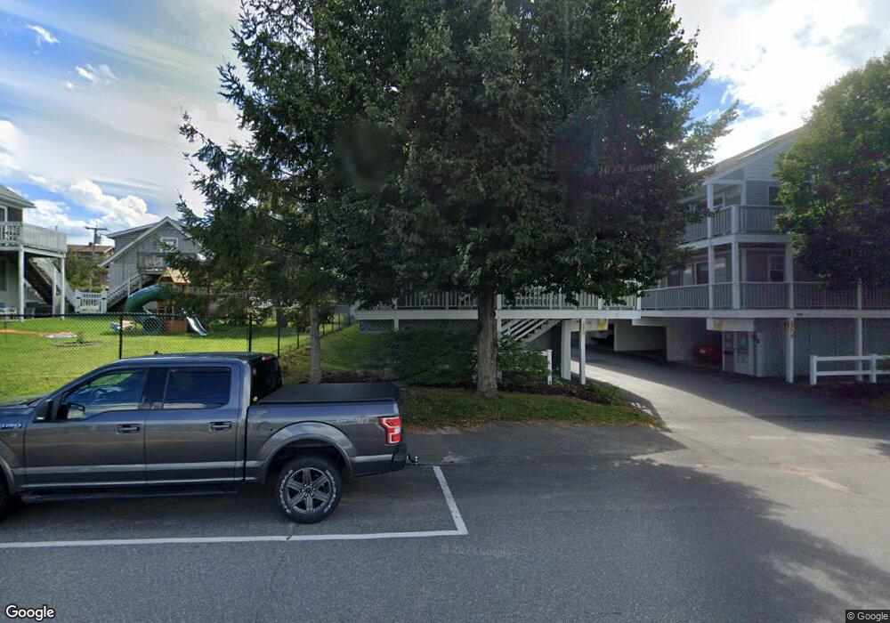
This home is located at 353 Mile Rd Unit 2, Wells, ME 04090 and is currently estimated at $201,803, approximately $668 per square foot. 353 Mile Rd Unit 2 is a home located in York County with nearby schools including Wells Junior High School, Wells Elementary School, and Wells High School.
Ownership History
Date
Name
Owned For
Owner Type
Purchase Details
Closed on
Jun 20, 2024
Sold by
Conte Richard
Bought by
Conte Ft Of 2024 and Conte
Current Estimated Value
Purchase Details
Closed on
Oct 23, 2014
Sold by
Ekstedt Karl J
Bought by
Graves Philip R and Graves Lillian L
Purchase Details
Closed on
Oct 18, 2005
Sold by
Ekstedt William C
Bought by
Ekstedt Karl J
Purchase Details
Closed on
Oct 7, 2005
Sold by
Ekstedt Cindy M
Bought by
Ekstedt Karl J
Create a Home Valuation Report for This Property
The Home Valuation Report is an in-depth analysis detailing your home's value as well as a comparison with similar homes in the area
Home Values in the Area
Average Home Value in this Area
Purchase History
| Date | Buyer | Sale Price | Title Company |
|---|---|---|---|
| Conte Ft Of 2024 | -- | None Available | |
| Conte Ft Of 2024 | -- | None Available | |
| Conte Ft Of 2024 | -- | None Available | |
| Conte Ft Of 2024 | -- | None Available | |
| Graves Philip R | -- | -- | |
| Graves Philip R | -- | -- | |
| Ekstedt Karl J | -- | -- | |
| Ekstedt Karl J | -- | -- | |
| Ekstedt Karl J | -- | -- | |
| Ekstedt Karl J | -- | -- |
Source: Public Records
Tax History Compared to Growth
Tax History
| Year | Tax Paid | Tax Assessment Tax Assessment Total Assessment is a certain percentage of the fair market value that is determined by local assessors to be the total taxable value of land and additions on the property. | Land | Improvement |
|---|---|---|---|---|
| 2024 | $1,105 | $181,700 | $136,920 | $44,780 |
| 2023 | $1,083 | $181,700 | $136,920 | $44,780 |
| 2022 | $1,071 | $102,350 | $74,700 | $27,650 |
| 2021 | $1,072 | $101,890 | $74,700 | $27,190 |
| 2020 | $1,068 | $101,890 | $74,700 | $27,190 |
| 2019 | $1,062 | $101,890 | $74,700 | $27,190 |
| 2018 | $1,052 | $101,890 | $74,700 | $27,190 |
| 2017 | $1,035 | $101,890 | $74,700 | $27,190 |
| 2016 | $1,025 | $101,890 | $74,700 | $27,190 |
| 2015 | $1,014 | $101,890 | $74,700 | $27,190 |
| 2013 | $929 | $101,890 | $74,700 | $27,190 |
Source: Public Records
Map
Nearby Homes
- 42 Rachel Carson Ln
- 46 Ox Cart Ln
- 58 Atlantic Ave Unit 12B
- 61 Atlantic Ave Unit 3
- 2 Gold Ribbon Dr
- 229 Atlantic Ave
- 60 Merrifield Ct
- 4 Tidal Ct
- 9 Robert Ln
- 403 Webhannet Dr
- 1072 Post Rd Unit 131
- 1072 Post Rd Unit 111
- 835 Ocean Ave
- 813 Ocean Ave
- 46 Buffum Hill Rd
- 733 Post Rd Unit 225
- 733 Post Rd Unit 126
- 191 Eldridge Rd
- 189 Eldridge Rd
- 446 Atlantic Ave
- 353 Mile Rd Unit 9
- 353 Mile Rd Unit 8
- 353 Mile Rd Unit 7
- 353 Mile Rd Unit 6
- 353 Mile Rd Unit 5
- 353 Mile Rd Unit 4
- 353 Mile Rd Unit 3
- 353 Mile Rd Unit 20
- 353 Mile Rd Unit 19
- 353 Mile Rd Unit 18
- 353 Mile Rd Unit 17
- 353 Mile Rd Unit 16
- 353 Mile Rd Unit 15
- 353 Mile Rd Unit 14
- 353 Mile Rd Unit 13
- 353 Mile Rd Unit 12
- 353 Mile Rd Unit 11
- 353 Mile Rd Unit 10
- 353 Mile Rd Unit 1
- 353 Mile Road - #7 Hrbrsd Unit 7