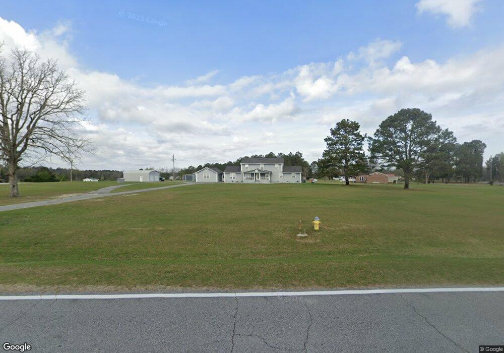
353 Moose Club Rd Thomson, GA 30824
Estimated Value: $360,000 - $450,306
4
Beds
2
Baths
3,876
Sq Ft
$101/Sq Ft
Est. Value
About This Home
This home is located at 353 Moose Club Rd, Thomson, GA 30824 and is currently estimated at $392,077, approximately $101 per square foot. 353 Moose Club Rd is a home located in McDuffie County with nearby schools including Thomson High School.
Ownership History
Date
Name
Owned For
Owner Type
Purchase Details
Closed on
Apr 29, 2002
Sold by
Wells Fargo Bank
Bought by
Graves Michael L
Current Estimated Value
Purchase Details
Closed on
Jun 27, 2001
Sold by
Schumacher Robert W
Bought by
Jeffrey Sammy
Purchase Details
Closed on
Jun 5, 2001
Sold by
Jeffrey Sammy
Bought by
Wells Fargo Bank
Purchase Details
Closed on
Apr 3, 2001
Sold by
Jeffery Sammy
Bought by
Schumacher Robert W
Purchase Details
Closed on
Mar 27, 1989
Bought by
Jeffery Sammy
Create a Home Valuation Report for This Property
The Home Valuation Report is an in-depth analysis detailing your home's value as well as a comparison with similar homes in the area
Home Values in the Area
Average Home Value in this Area
Purchase History
| Date | Buyer | Sale Price | Title Company |
|---|---|---|---|
| Graves Michael L | $75,000 | -- | |
| Jeffrey Sammy | $7,000 | -- | |
| Wells Fargo Bank | $144,500 | -- | |
| Schumacher Robert W | $7,000 | -- | |
| Jeffery Sammy | $7,700 | -- |
Source: Public Records
Tax History Compared to Growth
Tax History
| Year | Tax Paid | Tax Assessment Tax Assessment Total Assessment is a certain percentage of the fair market value that is determined by local assessors to be the total taxable value of land and additions on the property. | Land | Improvement |
|---|---|---|---|---|
| 2024 | $3,774 | $157,263 | $10,786 | $146,477 |
| 2023 | $3,774 | $150,395 | $10,272 | $140,123 |
| 2022 | $2,767 | $104,413 | $10,272 | $94,141 |
| 2021 | $2,255 | $84,364 | $10,272 | $74,092 |
| 2020 | $2,760 | $101,904 | $7,093 | $94,811 |
| 2019 | $2,789 | $101,904 | $7,093 | $94,811 |
| 2018 | $2,789 | $101,904 | $7,093 | $94,811 |
| 2017 | $2,691 | $101,904 | $7,093 | $94,811 |
| 2016 | $2,691 | $101,904 | $7,093 | $94,811 |
| 2015 | $2,659 | $110,189 | $10,498 | $99,691 |
| 2014 | $2,665 | $110,190 | $10,499 | $99,691 |
| 2013 | -- | $110,189 | $10,498 | $99,690 |
Source: Public Records
Map
Nearby Homes
- 2592 White Oak Rd
- 421 Liberty St
- 0 Liberty St
- 651 Moose Club Rd
- 139 Margarets Rd
- 1086 Boneville Rd
- 219 Devonshire Dr
- 563 Lakewood Dr
- 705 Marshall Church Rd
- 146 Willow Oak Cir
- 137 Willow Oak Cir
- 122 Willow Oak Cir
- 123 Willow Oak Cir
- 1463 Lokey Dr
- 125 Willow Oak Cir
- 1302 Elias Station
- 1290 Elias Station
- 1379 Elias Station
- 1283 Elias Station
- 1282 Elias Station
- 333 Moose Club Rd
- 00 Moose Club Rd
- 316 Moose Club Rd
- 275 Moose Club Rd
- 286 Moose Club Rd
- 351 Moose Club Rd
- 250 Mynatt Rd
- 211 White Oak Estates Cir
- 599 White Oak Estates Cir
- 243 Moose Club Rd
- 238 Mynatt Rd
- 364 Moose Club Rd
- 233 White Oak Estates Cir
- 585 White Oak Rd
- 224 Mynatt Rd
- 585 White Oak Estates Cir
- 227 Moose Club Rd
- 378 Moose Club Rd
- 209 Mynatt Rd
- 568 White Oak Estates Cir