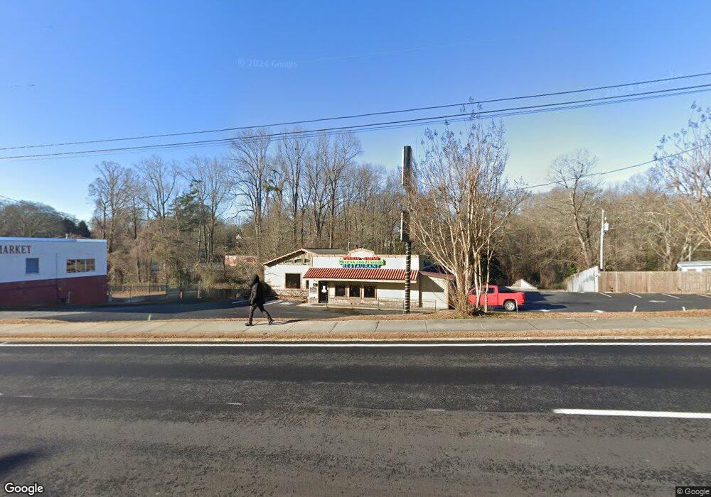
353 N Broad St Toccoa, GA 30577
Estimated Value: $615,757
--
Bed
--
Bath
3,500
Sq Ft
$176/Sq Ft
Est. Value
About This Home
This home is located at 353 N Broad St, Toccoa, GA 30577 and is currently estimated at $615,757, approximately $175 per square foot. 353 N Broad St is a home located in Stephens County with nearby schools including Stephens County High School.
Ownership History
Date
Name
Owned For
Owner Type
Purchase Details
Closed on
Jun 15, 2017
Sold by
Jennifer G
Bought by
Detertown Investments Llc
Current Estimated Value
Purchase Details
Closed on
Sep 25, 2008
Sold by
Not Provided
Bought by
Everaars Jennifer
Purchase Details
Closed on
May 12, 2005
Sold by
Whitlock V J
Bought by
Deter Steven and Everaars Jennifer
Purchase Details
Closed on
Dec 1, 1995
Bought by
<Buyer Info Not Present>
Purchase Details
Closed on
Mar 1, 1995
Bought by
<Buyer Info Not Present>
Purchase Details
Closed on
Oct 1, 1992
Bought by
<Buyer Info Not Present>
Create a Home Valuation Report for This Property
The Home Valuation Report is an in-depth analysis detailing your home's value as well as a comparison with similar homes in the area
Home Values in the Area
Average Home Value in this Area
Purchase History
| Date | Buyer | Sale Price | Title Company |
|---|---|---|---|
| Detertown Investments Llc | -- | -- | |
| Everaars Jennifer | -- | -- | |
| Everaars Jennifer G | -- | -- | |
| Deter Steven | $275,000 | -- | |
| <Buyer Info Not Present> | $37,500 | -- | |
| <Buyer Info Not Present> | $56,000 | -- | |
| <Buyer Info Not Present> | -- | -- |
Source: Public Records
Tax History Compared to Growth
Tax History
| Year | Tax Paid | Tax Assessment Tax Assessment Total Assessment is a certain percentage of the fair market value that is determined by local assessors to be the total taxable value of land and additions on the property. | Land | Improvement |
|---|---|---|---|---|
| 2024 | $2,842 | $79,718 | $38,479 | $41,239 |
| 2023 | $2,427 | $79,718 | $38,479 | $41,239 |
| 2022 | $2,373 | $79,718 | $38,479 | $41,239 |
| 2021 | $2,496 | $79,816 | $38,479 | $41,337 |
| 2020 | $2,521 | $79,816 | $38,479 | $41,337 |
| 2019 | $2,494 | $78,657 | $38,479 | $40,178 |
Source: Public Records
Map
Nearby Homes
- 122 Broad Cir
- 512 N Broad St
- 325 N Broad St
- 69 Broad Cir
- 334 Broad St
- 0 Wall Street Way
- 177 Falls Rd
- 76 Edwards Place
- 48 Wall Street Way
- 110 Wall Street Way
- 268 Broad St
- 415 N Broad St
- 0 W Savannah St
- W W Savannah St Unit 13
- W W Savannah St Unit B
- W W Savannah St Unit 1
- W W Savannah St
- 174 N Oak St
- 22 Edward Rd
- 156 N Oak St
