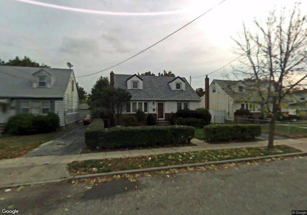
353 Newport Rd Uniondale, NY 11553
Estimated Value: $580,507 - $623,000
--
Bed
1
Bath
1,201
Sq Ft
$501/Sq Ft
Est. Value
About This Home
This home is located at 353 Newport Rd, Uniondale, NY 11553 and is currently estimated at $601,754, approximately $501 per square foot. 353 Newport Rd is a home located in Nassau County with nearby schools including California Avenue Elementary School, Lawrence Road Middle School, and Uniondale High School.
Ownership History
Date
Name
Owned For
Owner Type
Purchase Details
Closed on
Dec 29, 2006
Sold by
Brown Stephen
Bought by
Amole Elizabeth
Current Estimated Value
Create a Home Valuation Report for This Property
The Home Valuation Report is an in-depth analysis detailing your home's value as well as a comparison with similar homes in the area
Home Values in the Area
Average Home Value in this Area
Purchase History
| Date | Buyer | Sale Price | Title Company |
|---|---|---|---|
| Amole Elizabeth | $392,000 | -- |
Source: Public Records
Tax History Compared to Growth
Tax History
| Year | Tax Paid | Tax Assessment Tax Assessment Total Assessment is a certain percentage of the fair market value that is determined by local assessors to be the total taxable value of land and additions on the property. | Land | Improvement |
|---|---|---|---|---|
| 2025 | $8,356 | $378 | $133 | $245 |
| 2024 | $3,396 | $378 | $133 | $245 |
| 2023 | $7,218 | $378 | $133 | $245 |
| 2022 | $7,218 | $378 | $133 | $245 |
| 2021 | $9,206 | $360 | $127 | $233 |
| 2020 | $7,224 | $559 | $464 | $95 |
| 2019 | $7,020 | $559 | $464 | $95 |
| 2018 | $6,595 | $559 | $0 | $0 |
| 2017 | $3,465 | $559 | $464 | $95 |
| 2016 | $6,183 | $559 | $464 | $95 |
| 2015 | $2,583 | $559 | $464 | $95 |
| 2014 | $2,583 | $559 | $464 | $95 |
| 2013 | $2,491 | $559 | $464 | $95 |
Source: Public Records
Map
Nearby Homes
- 357 Newport Rd
- 347 Newport Rd
- 343 Newport Rd
- 358 Uniondale Ave Unit 368
- 367 Newport Rd
- 356 Newport Rd
- 350 Newport Rd
- 350 Uniondale Ave
- 360 Newport Rd
- 346 Newport Rd
- 340 Newport Rd
- 629 Webster Ave
- 339 Newport Rd
- 644 Midwood St
- 644 Midwood St Unit 2
- 336 Uniondale Ave
- 353 Maple Ave
- 351 Maple Ave
- 359 Maple Ave
- 359 Maple Ave