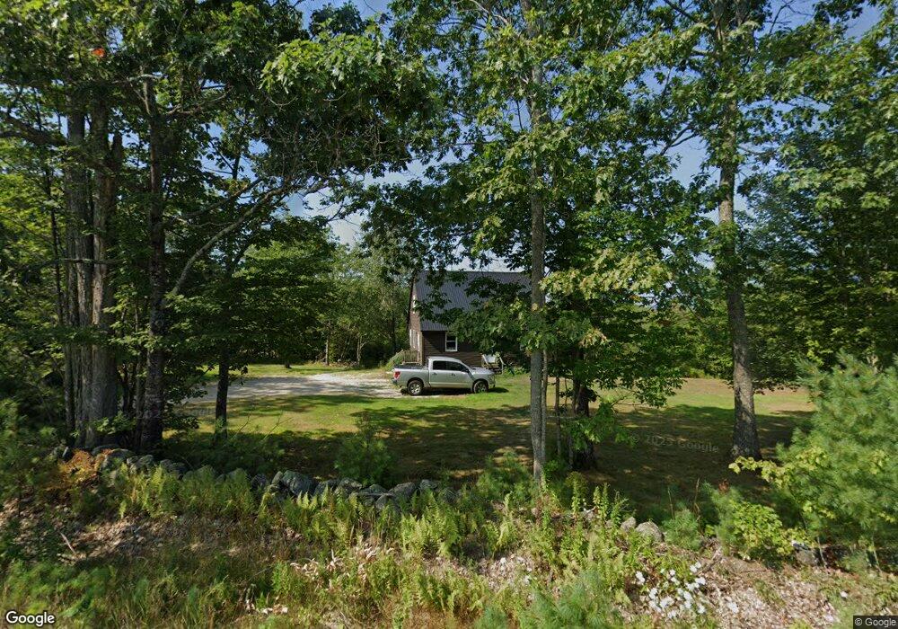
353 North Rd Parsonsfield, ME 04047
Estimated Value: $349,000 - $401,000
3
Beds
2
Baths
1,568
Sq Ft
$236/Sq Ft
Est. Value
About This Home
This home is located at 353 North Rd, Parsonsfield, ME 04047 and is currently estimated at $369,808, approximately $235 per square foot. 353 North Rd is a home located in York County.
Ownership History
Date
Name
Owned For
Owner Type
Purchase Details
Closed on
Sep 20, 2011
Sold by
Us Bank Na
Bought by
Churchill Cass
Current Estimated Value
Home Financials for this Owner
Home Financials are based on the most recent Mortgage that was taken out on this home.
Original Mortgage
$120,103
Outstanding Balance
$82,118
Interest Rate
4.38%
Mortgage Type
Commercial
Estimated Equity
$287,690
Create a Home Valuation Report for This Property
The Home Valuation Report is an in-depth analysis detailing your home's value as well as a comparison with similar homes in the area
Home Values in the Area
Average Home Value in this Area
Purchase History
| Date | Buyer | Sale Price | Title Company |
|---|---|---|---|
| Churchill Cass | -- | -- | |
| Us Bank Na Tr | -- | -- |
Source: Public Records
Mortgage History
| Date | Status | Borrower | Loan Amount |
|---|---|---|---|
| Open | Us Bank Na Tr | $120,103 | |
| Closed | Churchill Cass | $120,103 |
Source: Public Records
Tax History Compared to Growth
Tax History
| Year | Tax Paid | Tax Assessment Tax Assessment Total Assessment is a certain percentage of the fair market value that is determined by local assessors to be the total taxable value of land and additions on the property. | Land | Improvement |
|---|---|---|---|---|
| 2024 | $2,972 | $176,919 | $52,500 | $124,419 |
| 2023 | $2,866 | $176,919 | $52,500 | $124,419 |
| 2022 | $2,742 | $176,919 | $52,500 | $124,419 |
| 2021 | $2,733 | $176,919 | $52,500 | $124,419 |
| 2020 | $2,680 | $176,919 | $52,500 | $124,419 |
| 2019 | $2,636 | $176,919 | $52,500 | $124,419 |
| 2017 | $2,636 | $176,919 | $52,500 | $124,419 |
| 2016 | $2,636 | $176,919 | $52,500 | $124,419 |
| 2015 | $2,654 | $176,919 | $52,500 | $124,419 |
| 2013 | $2,583 | $176,919 | $52,500 | $124,419 |
Source: Public Records
Map
Nearby Homes
- 0 S River Ln Unit 1641807
- 196 Chase Rd
- R3-32 Ossipee Trail
- 8 Pennie Ln
- 00 Pratt Rd
- 62 Eastman Hill Rd
- 1108 Ossipee Trail
- 11 Penny Ln
- 206 Gilman Rd
- Lot #00 North Rd
- Lot# 01 North Rd
- Lot #02 North Rd
- 185 Huntress Bridge Rd
- 122 Ossipee Trail
- 761 Pendexter Rd
- 187 Huntress Bridge Rd
- 32 Rufus Mountain Rd
- 12 Main St
- Lot 1 Moulton Hill Rd
- 32 Summer St
- 396 North Rd
- 338 North Rd
- 326 North Rd
- 339 North Rd
- 422 North Rd
- 321 North Rd
- 436 North Rd
- 313 North Rd
- 403 North Rd
- 450 North Rd
- 291 North Rd
- 284 North Rd
- 285 North Rd
- 0 Freedom Road Lot 9 5a Unit 1073333
- 0 Freedom Road Lot 9 5b Unit 1073355
- 0 Freedom Road Lot 9 5 Unit 1072045
- 267 North Rd
- 0 Hobbs Swamp Unit 316530
- 0 Hobbs Swamp Unit 314280
- 0 Hobbs Swamp Unit 261752