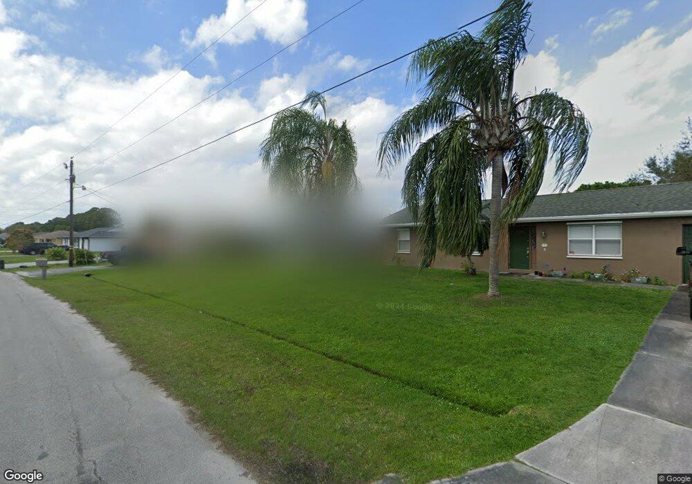
353 NW Concord Dr Port Saint Lucie, FL 34983
Northport Village NeighborhoodEstimated Value: $290,000 - $309,000
3
Beds
2
Baths
1,092
Sq Ft
$276/Sq Ft
Est. Value
About This Home
This home is located at 353 NW Concord Dr, Port Saint Lucie, FL 34983 and is currently estimated at $301,535, approximately $276 per square foot. 353 NW Concord Dr is a home located in St. Lucie County with nearby schools including Northport K-8 School, Parkway Elementary School, and Floresta Elementary School.
Ownership History
Date
Name
Owned For
Owner Type
Purchase Details
Closed on
Aug 1, 2016
Bought by
Bonewicz Diane L
Current Estimated Value
Purchase Details
Closed on
Sep 30, 2003
Sold by
Stinson Barbara A
Bought by
Simpson Barbara A
Home Financials for this Owner
Home Financials are based on the most recent Mortgage that was taken out on this home.
Original Mortgage
$95,920
Interest Rate
6.32%
Mortgage Type
Purchase Money Mortgage
Purchase Details
Closed on
Apr 22, 2003
Sold by
Stinson Donald B and Stinson Alberta J
Bought by
Stinson Donald B and Stinson Alberta J
Create a Home Valuation Report for This Property
The Home Valuation Report is an in-depth analysis detailing your home's value as well as a comparison with similar homes in the area
Home Values in the Area
Average Home Value in this Area
Purchase History
| Date | Buyer | Sale Price | Title Company |
|---|---|---|---|
| Bonewicz Diane L | $100 | -- | |
| Simpson Barbara A | $119,900 | -- | |
| Stinson Donald B | -- | -- |
Source: Public Records
Mortgage History
| Date | Status | Borrower | Loan Amount |
|---|---|---|---|
| Previous Owner | Simpson Barbara A | $95,920 |
Source: Public Records
Tax History Compared to Growth
Tax History
| Year | Tax Paid | Tax Assessment Tax Assessment Total Assessment is a certain percentage of the fair market value that is determined by local assessors to be the total taxable value of land and additions on the property. | Land | Improvement |
|---|---|---|---|---|
| 2024 | $611 | $68,914 | -- | -- |
| 2023 | $611 | $66,907 | $0 | $0 |
| 2022 | $547 | $64,959 | $0 | $0 |
| 2021 | $450 | $63,067 | $0 | $0 |
| 2020 | $445 | $62,197 | $0 | $0 |
| 2019 | $445 | $60,799 | $0 | $0 |
| 2018 | $431 | $59,666 | $0 | $0 |
| 2017 | $431 | $92,200 | $27,400 | $64,800 |
| 2016 | $426 | $93,100 | $21,100 | $72,000 |
| 2015 | $421 | $76,200 | $13,700 | $62,500 |
| 2014 | $421 | $56,390 | $0 | $0 |
Source: Public Records
Map
Nearby Homes
- 551 NW Grenada St
- 515 NW Twylite Terrace
- 325 NW Rebecca Ave
- 434 NW Concord Dr
- 349 NW Avens St
- 412 NW Cornell Ave
- 425 NW Hutchins St
- 514 NW Ferris Dr
- 511 NW Grenada St
- 514 NW Riverside Dr
- 517 NW Floresta Dr
- 341 NW Curry St
- 554 NW Twylite Terrace
- 638 NW Grenada St
- 549 NW Salina Terrace
- 357 NW Hogan St
- 313 NW Dorchester St
- 432 NW Raymond Ln
- 592 NW Turton Terrace
- 464 NW Ravenswood Ln
- 349 NW Concord Dr
- 357 NW Concord Dr
- 345 NW Concord Dr
- 380 NW Ferris Dr
- 374 NW Ferris Dr
- 492 NW Byron St
- 392 NW Ferris Dr
- 501 NW Avens St
- 491 NW Avens St
- 341 NW Concord Dr
- 365 NW Concord Dr
- 368 NW Ferris Dr
- 474 NW Byron St
- 358 NW Concord Dr
- 362 NW Ferris Dr
- 369 NW Concord Dr
- 398 NW Ferris Dr
- 364 NW Concord Dr
- 377 NW Ferris Dr
- 502 NW Avens St