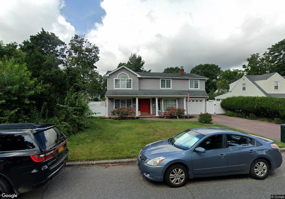
353 Pin Oak Ln Westbury, NY 11590
Estimated Value: $733,719 - $813,000
--
Bed
2
Baths
2,028
Sq Ft
$381/Sq Ft
Est. Value
About This Home
This home is located at 353 Pin Oak Ln, Westbury, NY 11590 and is currently estimated at $773,360, approximately $381 per square foot. 353 Pin Oak Ln is a home located in Nassau County with nearby schools including Westbury Middle School, Westbury High School, and St Brigid/Our Lady Of Hope Regional School.
Ownership History
Date
Name
Owned For
Owner Type
Purchase Details
Closed on
Jul 27, 2001
Sold by
Murphy John and Murphy Deidre
Bought by
Rodriguez David
Current Estimated Value
Purchase Details
Closed on
May 20, 1996
Sold by
Leya Leanora
Bought by
Murphy John and Mooney-Murphy Deirdre
Home Financials for this Owner
Home Financials are based on the most recent Mortgage that was taken out on this home.
Original Mortgage
$126,100
Interest Rate
7.91%
Create a Home Valuation Report for This Property
The Home Valuation Report is an in-depth analysis detailing your home's value as well as a comparison with similar homes in the area
Home Values in the Area
Average Home Value in this Area
Purchase History
| Date | Buyer | Sale Price | Title Company |
|---|---|---|---|
| Rodriguez David | $216,000 | John C. | |
| Murphy John | $130,000 | -- |
Source: Public Records
Mortgage History
| Date | Status | Borrower | Loan Amount |
|---|---|---|---|
| Previous Owner | Murphy John | $126,100 |
Source: Public Records
Tax History Compared to Growth
Tax History
| Year | Tax Paid | Tax Assessment Tax Assessment Total Assessment is a certain percentage of the fair market value that is determined by local assessors to be the total taxable value of land and additions on the property. | Land | Improvement |
|---|---|---|---|---|
| 2025 | $12,525 | $469 | $219 | $250 |
| 2024 | $2,616 | $476 | $222 | $254 |
| 2023 | $10,808 | $484 | $226 | $258 |
| 2022 | $10,808 | $484 | $226 | $258 |
| 2021 | $8,776 | $484 | $226 | $258 |
| 2020 | $9,135 | $488 | $481 | $7 |
| 2019 | $7,668 | $523 | $484 | $39 |
| 2018 | $7,647 | $558 | $0 | $0 |
| 2017 | $6,528 | $593 | $487 | $106 |
| 2016 | $8,344 | $628 | $464 | $164 |
| 2015 | $1,950 | $663 | $490 | $173 |
| 2014 | $1,950 | $663 | $490 | $173 |
| 2013 | $1,940 | $698 | $516 | $182 |
Source: Public Records
Map
Nearby Homes
- 330 Ellison Ave
- 355 Sylvan Ln
- 333 Sylvan Ln
- 51 Wickey Ave
- 24 Walnut St
- 45 Manchester St
- 31 Chestnut St
- 64 Wilson Ave
- 68 Oriole Way
- 198 Belmont Ave
- 172 Harvard St
- 175 Maple Ave Unit 5G
- 60 Concord St
- 205 Schenck Ave
- 213 Belmont Ave
- 81 Ward St
- 154 Elmwood St
- 246 Liberty Ave
- 242 Maple Ave Unit 513
- 242 Maple Ave Unit 501