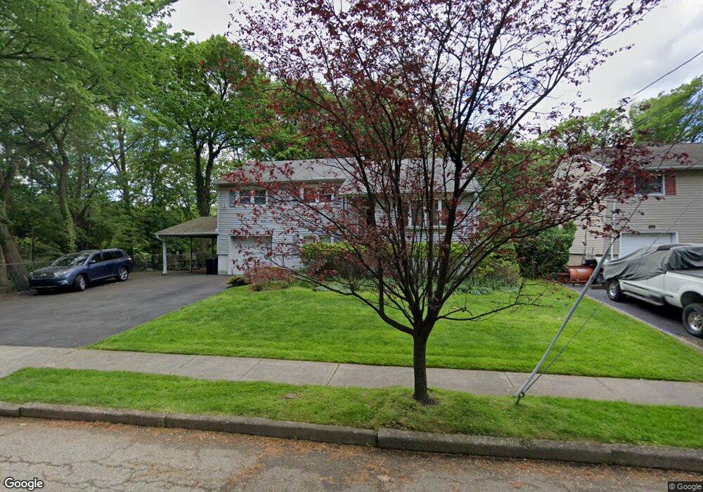
353 Poplar St Saddle Brook, NJ 07663
Estimated Value: $693,821 - $929,000
--
Bed
--
Bath
2,200
Sq Ft
$361/Sq Ft
Est. Value
About This Home
This home is located at 353 Poplar St, Saddle Brook, NJ 07663 and is currently estimated at $794,455, approximately $361 per square foot. 353 Poplar St is a home located in Bergen County with nearby schools including Saddle Brook Mid High School and St. Leo Elementary School.
Ownership History
Date
Name
Owned For
Owner Type
Purchase Details
Closed on
Jul 20, 2000
Bought by
Schmidg John
Current Estimated Value
Home Financials for this Owner
Home Financials are based on the most recent Mortgage that was taken out on this home.
Original Mortgage
$137,000
Interest Rate
8.07%
Create a Home Valuation Report for This Property
The Home Valuation Report is an in-depth analysis detailing your home's value as well as a comparison with similar homes in the area
Home Values in the Area
Average Home Value in this Area
Purchase History
| Date | Buyer | Sale Price | Title Company |
|---|---|---|---|
| Schmidg John | -- | -- | |
| Schmidg John | -- | -- |
Source: Public Records
Mortgage History
| Date | Status | Borrower | Loan Amount |
|---|---|---|---|
| Previous Owner | Schmidg John | $137,000 |
Source: Public Records
Tax History Compared to Growth
Tax History
| Year | Tax Paid | Tax Assessment Tax Assessment Total Assessment is a certain percentage of the fair market value that is determined by local assessors to be the total taxable value of land and additions on the property. | Land | Improvement |
|---|---|---|---|---|
| 2025 | $11,784 | $525,200 | $225,700 | $299,500 |
| 2024 | $11,089 | $511,000 | $220,900 | $290,100 |
| 2023 | $10,590 | $474,700 | $198,600 | $276,100 |
| 2022 | $10,840 | $451,300 | $187,700 | $263,600 |
| 2021 | $10,606 | $416,900 | $172,000 | $244,900 |
| 2020 | $10,449 | $405,800 | $168,700 | $237,100 |
| 2019 | $10,242 | $395,000 | $167,200 | $227,800 |
| 2018 | $10,021 | $395,000 | $168,700 | $226,300 |
| 2017 | $10,003 | $388,000 | $166,300 | $221,700 |
| 2016 | $9,452 | $329,900 | $156,800 | $173,100 |
| 2015 | $8,707 | $329,900 | $156,800 | $173,100 |
| 2014 | $8,328 | $327,400 | $156,800 | $170,600 |
Source: Public Records
Map
Nearby Homes
- 76 N Leswing Ave
- 79 N Leswing Ave
- 16 Sherry Ln Unit 38
- 27 Sampson St Unit 2
- 485 Saddle River Rd Unit 1
- 54 Rochelle Pkwy
- 66 Kuhn Dr
- 21 Kuhn Ct
- 59 Chelsea Ct Unit O59
- 484 Sylvan St
- 152 Howard Ave
- 214 Colonial Ave
- 502 Sylvan St
- 501 Victor St
- 173 Howard Ave
- 520 Victor St Unit 49
- 66 Hahn Ave
- 132 Cory Ln Unit C0132
- 393 Rugby Rd
- 26 Platt Ave
- 357 Poplar St
- 365 Poplar St
- 128 S Leswing Ave
- 134 S Leswing Ave
- 120 S Leswing Ave
- 110 S Leswing Ave
- 140 S Leswing Ave
- 102 S Leswing Ave
- 96 S Leswing Ave
- 148 S Leswing Ave
- 121 S Leswing Ave
- 127 S Leswing Ave
- 133 S Leswing Ave
- 109 S Leswing Ave
- 90 S Leswing Ave
- 152 S Leswing Ave
- 135 S Leswing Ave
- 93 S Leswing Ave
- 147 S Leswing Ave
- 120 N Leswing Ave