353 Price Ln Dahlonega, GA 30533
Estimated Value: $275,000 - $325,000
3
Beds
2
Baths
1,068
Sq Ft
$281/Sq Ft
Est. Value
About This Home
This home is located at 353 Price Ln, Dahlonega, GA 30533 and is currently estimated at $300,063, approximately $280 per square foot. 353 Price Ln is a home located in Lumpkin County with nearby schools including Clay County Middle School and Lumpkin County High School.
Ownership History
Date
Name
Owned For
Owner Type
Purchase Details
Closed on
May 9, 2011
Sold by
Gustafson Kenny L
Bought by
Stapleton Lori M
Current Estimated Value
Home Financials for this Owner
Home Financials are based on the most recent Mortgage that was taken out on this home.
Original Mortgage
$110,342
Outstanding Balance
$75,758
Interest Rate
4.62%
Mortgage Type
FHA
Estimated Equity
$224,305
Purchase Details
Closed on
Apr 19, 2007
Sold by
Not Provided
Bought by
Stapleton Lori M
Home Financials for this Owner
Home Financials are based on the most recent Mortgage that was taken out on this home.
Original Mortgage
$95,600
Interest Rate
6.1%
Mortgage Type
New Conventional
Purchase Details
Closed on
Apr 19, 2004
Sold by
Toth Daniel W
Bought by
Edwards Stephanie and Edwards Shawn
Purchase Details
Closed on
Nov 24, 1998
Sold by
Bristolcone Inc
Bought by
Toth Daniel W
Purchase Details
Closed on
Jun 25, 1998
Sold by
Stowers Phillip C
Bought by
Bristolcone Inc
Purchase Details
Closed on
Aug 30, 1989
Bought by
Stowers Phillip C
Create a Home Valuation Report for This Property
The Home Valuation Report is an in-depth analysis detailing your home's value as well as a comparison with similar homes in the area
Home Values in the Area
Average Home Value in this Area
Purchase History
| Date | Buyer | Sale Price | Title Company |
|---|---|---|---|
| Stapleton Lori M | $115,000 | -- | |
| Stapleton Lori M | $119,500 | -- | |
| Edwards Stephanie | $109,300 | -- | |
| Toth Daniel W | $83,000 | -- | |
| Bristolcone Inc | $10,500 | -- | |
| Stowers Phillip C | $9,700 | -- |
Source: Public Records
Mortgage History
| Date | Status | Borrower | Loan Amount |
|---|---|---|---|
| Open | Stapleton Lori M | $110,342 | |
| Previous Owner | Stapleton Lori M | $95,600 | |
| Previous Owner | Stapleton Lori M | $17,900 |
Source: Public Records
Tax History Compared to Growth
Tax History
| Year | Tax Paid | Tax Assessment Tax Assessment Total Assessment is a certain percentage of the fair market value that is determined by local assessors to be the total taxable value of land and additions on the property. | Land | Improvement |
|---|---|---|---|---|
| 2024 | $150 | $84,980 | $12,000 | $72,980 |
| 2023 | $0 | $68,373 | $12,000 | $56,373 |
| 2022 | $1,442 | $58,230 | $12,000 | $46,230 |
| 2021 | $1,292 | $45,540 | $8,000 | $37,540 |
| 2020 | $1,258 | $44,355 | $8,000 | $36,355 |
| 2019 | $1,258 | $44,355 | $8,000 | $36,355 |
| 2018 | $1,075 | $37,893 | $6,000 | $31,893 |
| 2017 | $0 | $35,740 | $6,000 | $29,740 |
| 2016 | $917 | $32,726 | $6,000 | $26,726 |
| 2015 | -- | $32,726 | $6,000 | $26,726 |
| 2014 | -- | $33,056 | $6,000 | $27,056 |
| 2013 | -- | $33,389 | $6,000 | $27,389 |
Source: Public Records
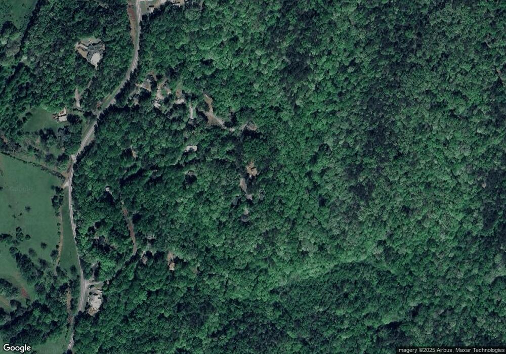
Map
Nearby Homes
- 1047 Nugget Ct
- 114 Funaro Ln
- 775 Crooked Creek Dr
- 0 Dawsonville Hwy Unit 10631159
- 00 Dawsonville Hwy
- 735 Calhoun Rd
- 1170 Calhoun Rd
- 99 Madeline Anthony Road Lots 44 and 45
- 99 Madeline Anthony Rd
- 0 Honey Tree Terrace Unit 10448792
- 0 Honey Tree Terrace Unit 7516071
- 1415 Calhoun Rd
- 567 Crown Mountain Way
- LOT 13 Crown Mountain Way
- Lot 28 Crown Mountain Way
- Lot 30 Crown Mountain Way
- 3149 Auraria Rd
- Lot 20 Crown Mountain Way
- 0 Crown Mountain Way Unit 7666031
- 0 Crown Mountain Unit 7682225