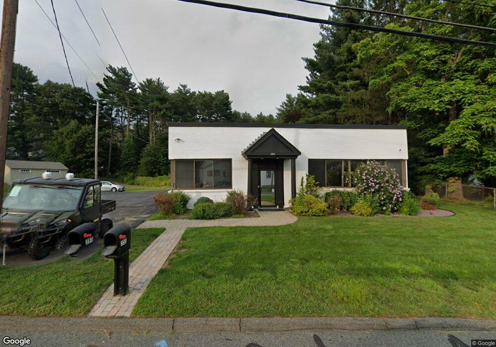
353 Providence Rd Unit 355 South Grafton, MA 01560
Estimated Value: $468,270 - $591,000
5
Beds
2
Baths
2,672
Sq Ft
$200/Sq Ft
Est. Value
About This Home
This home is located at 353 Providence Rd Unit 355, South Grafton, MA 01560 and is currently estimated at $533,818, approximately $199 per square foot. 353 Providence Rd Unit 355 is a home located in Worcester County with nearby schools including Grafton High School, Silver Spruce Montessori School, and Touchstone Community School.
Ownership History
Date
Name
Owned For
Owner Type
Purchase Details
Closed on
Jul 27, 2001
Sold by
Dumais Eleanor M and Dumais Dumais
Bought by
Houle Michael
Current Estimated Value
Home Financials for this Owner
Home Financials are based on the most recent Mortgage that was taken out on this home.
Original Mortgage
$204,250
Outstanding Balance
$79,847
Interest Rate
7.18%
Mortgage Type
Purchase Money Mortgage
Estimated Equity
$453,971
Create a Home Valuation Report for This Property
The Home Valuation Report is an in-depth analysis detailing your home's value as well as a comparison with similar homes in the area
Home Values in the Area
Average Home Value in this Area
Purchase History
| Date | Buyer | Sale Price | Title Company |
|---|---|---|---|
| Houle Michael | $220,000 | -- | |
| Houle Michael | $220,000 | -- |
Source: Public Records
Mortgage History
| Date | Status | Borrower | Loan Amount |
|---|---|---|---|
| Open | Houle Michael | $10,000 | |
| Open | Houle Michael | $204,250 | |
| Closed | Houle Michael | $204,250 |
Source: Public Records
Tax History Compared to Growth
Tax History
| Year | Tax Paid | Tax Assessment Tax Assessment Total Assessment is a certain percentage of the fair market value that is determined by local assessors to be the total taxable value of land and additions on the property. | Land | Improvement |
|---|---|---|---|---|
| 2025 | $4,918 | $417,100 | $145,500 | $271,600 |
| 2024 | $4,494 | $371,700 | $145,500 | $226,200 |
| 2023 | $4,365 | $336,800 | $137,800 | $199,000 |
| 2022 | $4,050 | $294,100 | $106,000 | $188,100 |
| 2021 | $3,708 | $255,900 | $100,900 | $155,000 |
| 2020 | $3,358 | $242,600 | $100,900 | $141,700 |
| 2019 | $2,883 | $222,300 | $100,900 | $121,400 |
| 2018 | $2,809 | $217,100 | $95,700 | $121,400 |
| 2017 | $2,848 | $210,500 | $95,700 | $114,800 |
| 2016 | $2,647 | $192,500 | $82,200 | $110,300 |
| 2015 | $2,576 | $192,500 | $82,200 | $110,300 |
| 2014 | $2,468 | $186,100 | $82,200 | $103,900 |
Source: Public Records
Map
Nearby Homes
- 395 Providence Rd Unit 4
- 19 Milford Rd
- 86 Mikes Way Unit 86
- 84 Mikes Way Unit 84
- 150 Sprague St
- 2767 Providence Rd
- 29 Sampson St Unit 29
- 191 Hartness Rd
- 58 Buttercup Ln
- 61 Tulip Cir
- 89 Buttercup Ln Unit 255
- 55 Fisherville Terrace
- 44 Fisherville Terrace
- 58 Fisherville Terrace
- 109 Main St
- 110 Main St
- 7 Pine Hill Rd
- 79-81 Upton St
- 90 Leland Hill Rd
- 12 Central Turnpike
- 349 Providence Rd
- 355 Providence Rd
- 350 Providence Rd
- 357 Providence Rd
- 16 King St
- 361 Providence Rd
- 352 Providence Rd
- 356 Providence Rd
- 359 Providence Rd
- 7 King St
- 15 King St
- 365 Providence Rd
- 343 Providence Rd
- 344 Providence Rd
- 363 Providence Rd
- 358 Providence Rd
- 366 Providence Rd
- 342 Providence Rd Unit 350
- 342 Providence Rd
- 342 Providence Rd Unit 2