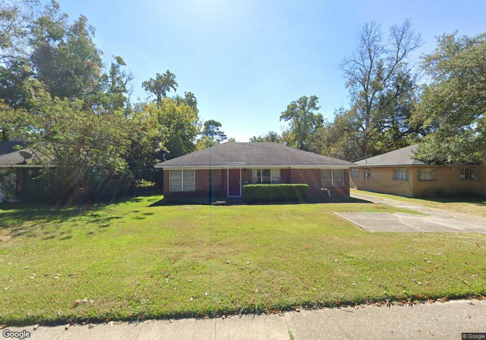
353 Southfield Rd Shreveport, LA 71105
East Shreveport NeighborhoodEstimated Value: $181,000 - $227,000
3
Beds
2
Baths
1,803
Sq Ft
$113/Sq Ft
Est. Value
About This Home
This home is located at 353 Southfield Rd, Shreveport, LA 71105 and is currently estimated at $203,383, approximately $112 per square foot. 353 Southfield Rd is a home located in Caddo Parish with nearby schools including Fairfield Magnet School, Judson Fundamental Elementary School, and Eden Gardens Fundamental Elementary School.
Ownership History
Date
Name
Owned For
Owner Type
Purchase Details
Closed on
Dec 12, 2013
Sold by
Fortenberry Shannon Marie and Gayer Thomas R
Bought by
Akins Joseph Tommy and Akins Marie Louise Laborde
Current Estimated Value
Purchase Details
Closed on
Apr 19, 2010
Sold by
Hudson Cassell and Okereke Edozie Chukwudi
Bought by
Fortenberry Shannon Marie
Home Financials for this Owner
Home Financials are based on the most recent Mortgage that was taken out on this home.
Original Mortgage
$127,645
Interest Rate
4.87%
Mortgage Type
FHA
Create a Home Valuation Report for This Property
The Home Valuation Report is an in-depth analysis detailing your home's value as well as a comparison with similar homes in the area
Home Values in the Area
Average Home Value in this Area
Purchase History
| Date | Buyer | Sale Price | Title Company |
|---|---|---|---|
| Akins Joseph Tommy | $135,000 | United Title Of Louisiana In | |
| Fortenberry Shannon Marie | $130,000 | None Available |
Source: Public Records
Mortgage History
| Date | Status | Borrower | Loan Amount |
|---|---|---|---|
| Previous Owner | Fortenberry Shannon Marie | $127,645 |
Source: Public Records
Tax History Compared to Growth
Tax History
| Year | Tax Paid | Tax Assessment Tax Assessment Total Assessment is a certain percentage of the fair market value that is determined by local assessors to be the total taxable value of land and additions on the property. | Land | Improvement |
|---|---|---|---|---|
| 2024 | $1,811 | $11,620 | $1,984 | $9,636 |
| 2023 | $1,852 | $11,620 | $1,984 | $9,636 |
| 2022 | $1,852 | $11,620 | $1,984 | $9,636 |
| 2021 | $1,824 | $11,620 | $1,984 | $9,636 |
| 2020 | $1,824 | $11,620 | $1,984 | $9,636 |
| 2019 | $1,879 | $11,620 | $2,054 | $9,566 |
| 2018 | $531 | $11,620 | $2,160 | $9,460 |
| 2017 | $1,909 | $11,620 | $2,160 | $9,460 |
| 2015 | $534 | $11,620 | $2,160 | $9,460 |
| 2014 | $538 | $11,620 | $2,160 | $9,460 |
| 2013 | -- | $11,620 | $2,160 | $9,460 |
Source: Public Records
Map
Nearby Homes
- 218 Clearwood Ln
- 225 Symphony Ln
- 4436 Clingman Dr
- 4622 Tibbs St
- 237 Pierremont Rd
- 4606 Tibbs St
- 255 Leland Dr
- 261 Pierremont Rd
- 236 Leland Dr
- 6210 Kathy Ln
- 233 Roma Dr
- 5918 Fern Ave
- 6324 Sand Beach Blvd
- 462 Gloria Ave
- 381 Leo Ave
- 6121 Fern Ave Unit 42
- 233 Charles Ave
- 271 Carrollton Ave
- 300 Pierremont Rd Unit 18
- 300 Pierremont Rd Unit 28
- 355 Southfield Rd
- 351 Southfield Rd
- 357 Southfield Rd
- 347 Southfield Rd
- 356 Fontaine St
- 352 Fontaine St
- 359 Southfield Rd
- 345 Southfield Rd
- 350 Fontaine St
- 360 Fontaine St
- 364 Fontaine Cir
- 348 Fontaine St
- 368 Fontaine Cir
- 351 Sandefur Dr
- 4633 Steere Dr
- 361 Southfield Rd
- 343 Southfield Rd
- 344 Fontaine St
- 355 Sandefur Dr
- 4627 Steere Dr