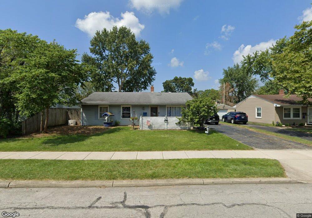
353 Topsfield Rd Columbus, OH 43228
Estimated Value: $232,000 - $341,513
3
Beds
2
Baths
1,457
Sq Ft
$188/Sq Ft
Est. Value
About This Home
This home is located at 353 Topsfield Rd, Columbus, OH 43228 and is currently estimated at $273,878, approximately $187 per square foot. 353 Topsfield Rd is a home located in Franklin County with nearby schools including Prairie Lincoln Elementary School, Galloway Ridge Intermediate School, and Norton Middle School.
Ownership History
Date
Name
Owned For
Owner Type
Purchase Details
Closed on
Jul 24, 2019
Sold by
Szabo Andres S and Szabo Norma J
Bought by
Szabo Andres S and Szabo Norma J
Current Estimated Value
Purchase Details
Closed on
Aug 10, 2014
Sold by
Szabo Andre S and Szabo Norma J
Bought by
Szabo Andre S and Szabo Norma J
Home Financials for this Owner
Home Financials are based on the most recent Mortgage that was taken out on this home.
Original Mortgage
$106,100
Outstanding Balance
$70,334
Interest Rate
4.19%
Mortgage Type
FHA
Estimated Equity
$203,544
Purchase Details
Closed on
May 30, 1996
Sold by
Cline Denny C
Bought by
Andre S Szabo
Home Financials for this Owner
Home Financials are based on the most recent Mortgage that was taken out on this home.
Original Mortgage
$79,000
Interest Rate
7.99%
Mortgage Type
Balloon
Create a Home Valuation Report for This Property
The Home Valuation Report is an in-depth analysis detailing your home's value as well as a comparison with similar homes in the area
Home Values in the Area
Average Home Value in this Area
Purchase History
| Date | Buyer | Sale Price | Title Company |
|---|---|---|---|
| Szabo Andres S | -- | None Available | |
| Szabo Andre S | -- | None Available | |
| Andre S Szabo | $87,800 | -- |
Source: Public Records
Mortgage History
| Date | Status | Borrower | Loan Amount |
|---|---|---|---|
| Open | Szabo Andre S | $106,100 | |
| Closed | Andre S Szabo | $79,000 |
Source: Public Records
Tax History
| Year | Tax Paid | Tax Assessment Tax Assessment Total Assessment is a certain percentage of the fair market value that is determined by local assessors to be the total taxable value of land and additions on the property. | Land | Improvement |
|---|---|---|---|---|
| 2025 | $3,194 | $65,250 | $18,030 | $47,220 |
| 2024 | $3,194 | $65,250 | $18,030 | $47,220 |
| 2023 | $3,068 | $65,240 | $18,025 | $47,215 |
| 2022 | $2,620 | $38,510 | $4,170 | $34,340 |
| 2021 | $2,658 | $38,510 | $4,170 | $34,340 |
| 2020 | $2,636 | $38,510 | $4,170 | $34,340 |
| 2019 | $2,611 | $33,290 | $3,470 | $29,820 |
| 2018 | $2,294 | $33,290 | $3,470 | $29,820 |
| 2017 | $2,231 | $33,290 | $3,470 | $29,820 |
| 2016 | $2,205 | $29,690 | $6,830 | $22,860 |
| 2015 | $2,205 | $29,690 | $6,830 | $22,860 |
| 2014 | $2,170 | $29,690 | $6,830 | $22,860 |
| 2013 | $1,275 | $34,895 | $8,015 | $26,880 |
Source: Public Records
Map
Nearby Homes
- 4899 Hamden Way
- 463 Darbyhurst Rd
- 396 Pasadena Ave
- 381 Pasadena Ave
- 305 Danhurst Rd
- 199 N Murray Hill Rd
- 417 Revere Ct
- 443 Lawrence Ave
- 399 Carilla Ln
- 97 Tarryton Ct W Unit 19-H
- 87 Tarryton Ct W Unit 18D
- 464 Yarmouth Ln
- 218 Darbyhurst Rd
- 4723 Tarryton Ct S Unit 14-E
- 89 Postle Blvd
- 110 Inah Ave
- 69 Lawrence Ave
- 102 Redmond Rd
- 5409 Longworth Dr
- 4682 Arnold Ave
- 363 Topsfield Rd
- 345 Topsfield Rd
- 364 Sturbridge Rd
- 371 Topsfield Rd
- 337 Topsfield Rd
- 356 Sturbridge Rd
- 378 Sturbridge Rd
- 354 Topsfield Rd
- 346 Topsfield Rd
- 364 Topsfield Rd
- 329 Topsfield Rd
- 377 Topsfield Rd
- 348 Sturbridge Rd
- 386 Sturbridge Rd
- 338 Topsfield Rd
- 340 Sturbridge Rd
- 319 Topsfield Rd
- 330 Topsfield Rd
- 380 Topsfield Rd
- 385 Topsfield Rd
Your Personal Tour Guide
Ask me questions while you tour the home.