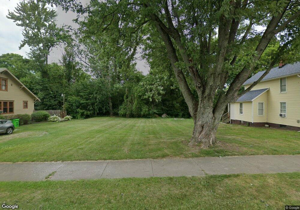
353 W Vine St Alliance, OH 44601
Estimated Value: $36,000 - $113,451
--
Bed
1
Bath
--
Sq Ft
0.52
Acres
About This Home
This home is located at 353 W Vine St, Alliance, OH 44601 and is currently estimated at $85,613. 353 W Vine St is a home located in Stark County with nearby schools including Alliance Early Learning School, Alliance Intermediate School at Northside, and Alliance Middle School.
Ownership History
Date
Name
Owned For
Owner Type
Purchase Details
Closed on
Jan 27, 2020
Sold by
Stark County Land Reutilization Corp
Bought by
City Of Alliance Land Reutilization Prog
Current Estimated Value
Purchase Details
Closed on
Feb 17, 2016
Sold by
Mike Virginia L
Bought by
Stark County Land Reutilization Corp
Purchase Details
Closed on
Jul 17, 1996
Sold by
Hanson Bobbie J
Bought by
Mike Virginia L
Home Financials for this Owner
Home Financials are based on the most recent Mortgage that was taken out on this home.
Original Mortgage
$27,550
Interest Rate
8.31%
Mortgage Type
New Conventional
Purchase Details
Closed on
May 1, 1995
Sold by
Kaminski Patricia L
Bought by
Hanson Bobbie J
Create a Home Valuation Report for This Property
The Home Valuation Report is an in-depth analysis detailing your home's value as well as a comparison with similar homes in the area
Home Values in the Area
Average Home Value in this Area
Purchase History
| Date | Buyer | Sale Price | Title Company |
|---|---|---|---|
| City Of Alliance Land Reutilization Prog | -- | None Available | |
| Stark County Land Reutilization Corp | -- | None Available | |
| Mike Virginia L | $29,000 | -- | |
| Hanson Bobbie J | $32,000 | -- |
Source: Public Records
Mortgage History
| Date | Status | Borrower | Loan Amount |
|---|---|---|---|
| Previous Owner | Mike Virginia L | $27,550 |
Source: Public Records
Tax History Compared to Growth
Tax History
| Year | Tax Paid | Tax Assessment Tax Assessment Total Assessment is a certain percentage of the fair market value that is determined by local assessors to be the total taxable value of land and additions on the property. | Land | Improvement |
|---|---|---|---|---|
| 2025 | -- | $5,740 | $5,740 | -- |
| 2024 | -- | $5,740 | $5,740 | -- |
| 2023 | $115 | $2,800 | $2,800 | -- |
| 2022 | $58 | $2,800 | $2,800 | $0 |
| 2021 | $682 | $2,800 | $2,800 | $0 |
| 2020 | -- | $2,870 | $2,870 | $0 |
| 2019 | $357 | $2,870 | $2,870 | $0 |
| 2018 | $0 | $2,870 | $2,870 | $0 |
| 2017 | $0 | $2,390 | $2,390 | $0 |
| 2016 | $0 | $7,320 | $4,760 | $2,560 |
| 2015 | $682 | $14,640 | $4,760 | $9,880 |
| 2014 | $1,365 | $14,260 | $4,630 | $9,630 |
| 2013 | $582 | $14,260 | $4,630 | $9,630 |
Source: Public Records
Map
Nearby Homes
- 000 Meadowbrook Ave
- 0 Meadowbrook Ave
- 511 W Ely St
- 124 E Wayne St
- 710 N Freedom Ave
- 0 Homestead Ave NE
- 329 1/2 W Main St
- 432 Johnson Ave
- 14723 Bolton St NE
- 11344 Walnut Ave NE
- 345 W Market St
- 0 Johnson Ave NE Unit 5142926
- 163 W Market St
- 132 S Haines Ave
- 000 Klinger Ave
- 0 Klinger Ave NE
- 11680 Walnut Ave NE
- 361 E Main St
- 14422 Sturbridge Rd NE
- 652 N Webb Ave
- 363 W Vine St
- 343 W Vine St
- 839 N Lincoln Ave
- 833 N Lincoln Ave
- 306 W Vine St
- 827 N Lincoln Ave
- 832 N Lincoln Ave
- 323 W Vine St
- 850 Garfield Ave
- 426 W Vine St
- 815 N Lincoln Ave
- 274 W Vine St
- 812 N Lincoln Ave
- 251 W Vine St
- 805 N Lincoln Ave
- 272 W Vine St
- 804 Garfield Ave
- 920 Garfield Ave
- 926 Madison Ave
- 942 Madison Ave