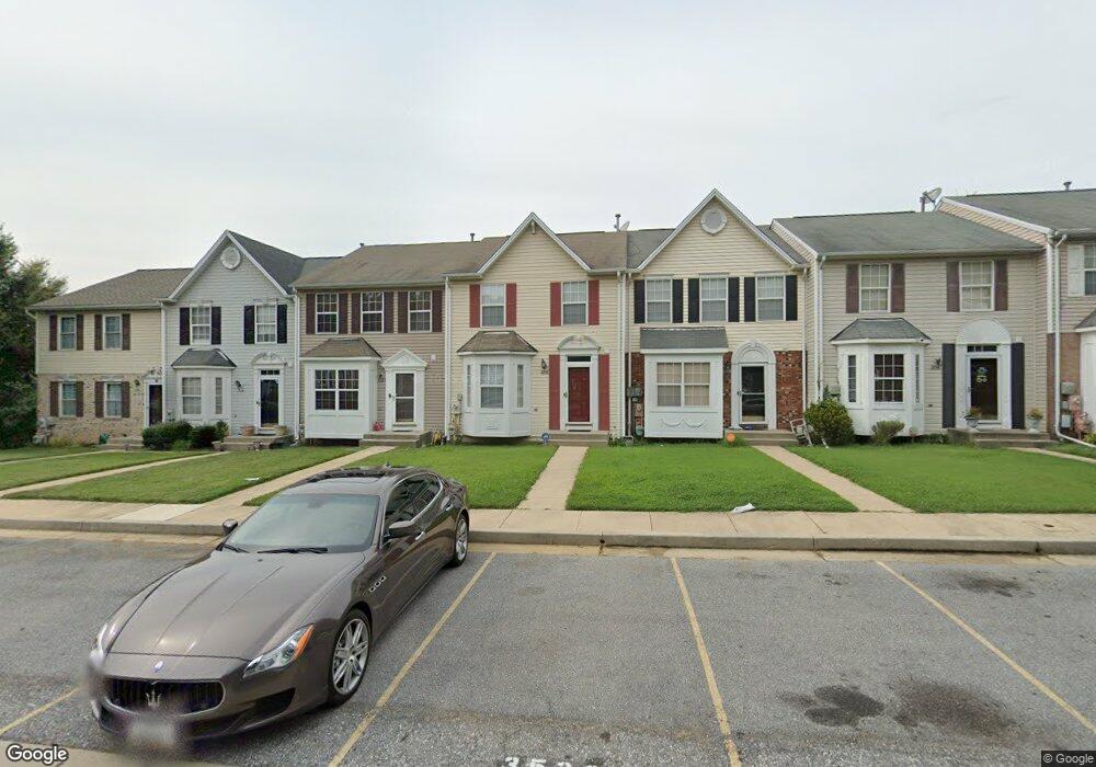
3530 Seapines Cir Randallstown, MD 21133
Estimated Value: $275,210 - $300,000
--
Bed
3
Baths
1,312
Sq Ft
$222/Sq Ft
Est. Value
About This Home
This home is located at 3530 Seapines Cir, Randallstown, MD 21133 and is currently estimated at $290,803, approximately $221 per square foot. 3530 Seapines Cir is a home located in Baltimore County with nearby schools including Hernwood Elementary School, Deer Park Middle Magnet School, and New Town High.
Ownership History
Date
Name
Owned For
Owner Type
Purchase Details
Closed on
Apr 27, 2005
Sold by
Gray Marcus L
Bought by
Brown Lashawn
Current Estimated Value
Home Financials for this Owner
Home Financials are based on the most recent Mortgage that was taken out on this home.
Original Mortgage
$144,000
Outstanding Balance
$82,210
Interest Rate
7.35%
Mortgage Type
Adjustable Rate Mortgage/ARM
Estimated Equity
$208,593
Purchase Details
Closed on
Oct 1, 2003
Sold by
Gray Marcus L
Bought by
Brown Lashawn
Home Financials for this Owner
Home Financials are based on the most recent Mortgage that was taken out on this home.
Original Mortgage
$144,000
Interest Rate
7.35%
Mortgage Type
Adjustable Rate Mortgage/ARM
Purchase Details
Closed on
Oct 21, 1998
Sold by
National Birchwood Corporation
Bought by
Gray Marcus L and Brown Lashawn R
Create a Home Valuation Report for This Property
The Home Valuation Report is an in-depth analysis detailing your home's value as well as a comparison with similar homes in the area
Home Values in the Area
Average Home Value in this Area
Purchase History
| Date | Buyer | Sale Price | Title Company |
|---|---|---|---|
| Brown Lashawn | -- | -- | |
| Brown Lashawn | -- | -- | |
| Gray Marcus L | $110,400 | -- |
Source: Public Records
Mortgage History
| Date | Status | Borrower | Loan Amount |
|---|---|---|---|
| Open | Brown Lashawn | $144,000 | |
| Previous Owner | Brown Lashawn | $144,000 |
Source: Public Records
Tax History Compared to Growth
Tax History
| Year | Tax Paid | Tax Assessment Tax Assessment Total Assessment is a certain percentage of the fair market value that is determined by local assessors to be the total taxable value of land and additions on the property. | Land | Improvement |
|---|---|---|---|---|
| 2025 | $3,761 | $237,167 | -- | -- |
| 2024 | $3,761 | $221,800 | $55,000 | $166,800 |
| 2023 | $1,812 | $213,833 | $0 | $0 |
| 2022 | $3,457 | $205,867 | $0 | $0 |
| 2021 | $3,261 | $197,900 | $55,000 | $142,900 |
| 2020 | $3,261 | $189,967 | $0 | $0 |
| 2019 | $3,153 | $182,033 | $0 | $0 |
| 2018 | $3,030 | $174,100 | $49,400 | $124,700 |
| 2017 | $2,848 | $169,567 | $0 | $0 |
| 2016 | $2,391 | $165,033 | $0 | $0 |
| 2015 | $2,391 | $160,500 | $0 | $0 |
| 2014 | $2,391 | $160,500 | $0 | $0 |
Source: Public Records
Map
Nearby Homes
- 3538 Corn Stream Rd
- 3518 Orchard Shade Rd
- 9804 Marriottsville Rd
- 9605 Mendoza Rd
- 3525 Cabot Rd
- 9302 Silver Charm Dr
- 3517 Kings Point Rd
- 9401 Summer Squal Dr
- 9311 Colorado Ave
- 3803 Marriottsville Rd
- 3903 Red Deer Cir
- 3903 Innerdale Ct
- 30 Sheraton Rd
- 3827 Rayton Rd
- 9210 Liberty Rd
- 9406 Painted Tree Dr
- 9208A Liberty Rd
- 3320 Offutt Rd
- 3200 Peddicoat Ct
- 3618 Granite Rd
- 3528 Seapines Cir
- 3526 Seapines Cir
- 3532 Seapines Cir
- 3524 Seapines Cir
- 3534 Seapines Cir
- 3536 Seapines Cir
- 3538 Seapines Cir
- 3540 Seapines Cir
- 3533 Corn Stream Rd
- 3531 Corn Stream Rd
- 3535 Corn Stream Rd
- 3522 Seapines Cir
- 3537 Corn Stream Rd
- 3529 Corn Stream Rd
- 3539 Corn Stream Rd
- 3520 Seapines Cir
- 3542 Seapines Cir
- 3541 Corn Stream Rd
- 3527 Corn Stream Rd
- 3543 Corn Stream Rd