3531 Emory Rd N Upperco, MD 21155
Estimated Value: $527,000 - $681,678
--
Bed
2
Baths
2,196
Sq Ft
$280/Sq Ft
Est. Value
About This Home
This home is located at 3531 Emory Rd N, Upperco, MD 21155 and is currently estimated at $615,420, approximately $280 per square foot. 3531 Emory Rd N is a home located in Carroll County with nearby schools including Sandymount Elementary School, Shiloh Middle School, and Westminster High School.
Ownership History
Date
Name
Owned For
Owner Type
Purchase Details
Closed on
Feb 19, 2015
Sold by
Cole Ruth T and Cole Dennis W
Bought by
Wenderoth Wayne R and Wenderoth Kristin L
Current Estimated Value
Home Financials for this Owner
Home Financials are based on the most recent Mortgage that was taken out on this home.
Original Mortgage
$240,000
Interest Rate
3.64%
Mortgage Type
New Conventional
Create a Home Valuation Report for This Property
The Home Valuation Report is an in-depth analysis detailing your home's value as well as a comparison with similar homes in the area
Home Values in the Area
Average Home Value in this Area
Purchase History
| Date | Buyer | Sale Price | Title Company |
|---|---|---|---|
| Wenderoth Wayne R | $350,000 | Sage Title Group Llc |
Source: Public Records
Mortgage History
| Date | Status | Borrower | Loan Amount |
|---|---|---|---|
| Previous Owner | Wenderoth Wayne R | $240,000 |
Source: Public Records
Tax History Compared to Growth
Tax History
| Year | Tax Paid | Tax Assessment Tax Assessment Total Assessment is a certain percentage of the fair market value that is determined by local assessors to be the total taxable value of land and additions on the property. | Land | Improvement |
|---|---|---|---|---|
| 2025 | $4,593 | $443,500 | $163,600 | $279,900 |
| 2024 | $4,593 | $417,267 | $0 | $0 |
| 2023 | $4,364 | $391,033 | $0 | $0 |
| 2022 | $4,145 | $364,800 | $140,800 | $224,000 |
| 2021 | $8,261 | $354,933 | $0 | $0 |
| 2020 | $3,959 | $345,067 | $0 | $0 |
| 2019 | $3,848 | $335,200 | $140,800 | $194,400 |
| 2018 | $3,658 | $321,300 | $0 | $0 |
| 2017 | $3,502 | $307,400 | $0 | $0 |
| 2016 | -- | $293,500 | $0 | $0 |
| 2015 | -- | $293,267 | $0 | $0 |
| 2014 | -- | $293,033 | $0 | $0 |
Source: Public Records
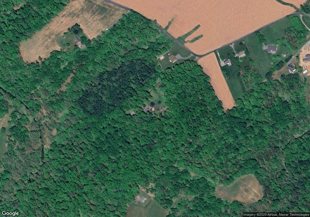
Map
Nearby Homes
- 1722 Emory Rd
- 3360 Lawndale Rd
- 3088 Fenwick Dr
- 3097 Lawndale Rd
- 3300 Dornoch Dr
- 2105 Brookmead Ct
- 5708 Emory Rd
- 2108 Brookmead Ct
- 2856 Lawndale Rd
- 1969 Turnberry Ct
- 3513 Juneberry Ct
- 3402 Blueberry Ln
- 5640 Mount Gilead Rd
- 14027 Woodens Ln
- 6 Jarretts Ct
- 2511 Cedarhurst Dr
- 14500 Hanover Pike
- 1509 Seminole Ln
- 1504 Seminole Ln
- 2003 Arabian Dr
- 3525 Emory Rd N
- LOT 3 Emory Rd N
- 3537 Emory Rd N
- 3603 Emory Rd N
- 3605 Emory Rd N
- 3501 Emory Rd N
- 3533 Emory Rd N
- 3611 Emory Rd N
- 3623 Emory Rd N
- 3627 Emory Rd N
- 3535 Emory Rd N
- 1501 Tank Rd
- 3803 Bond Farm Dr
- 3307 Emory Rd N
- 3692 Clydesdale Road Way
- 3808 Bond Farm Dr
- 3345 Emory Rd N
- 3694 Clydesdale Road Way
- 3800 Bond Farm Dr
- 3696 Clydesdale Road Way