--
Bed
--
Bath
8,126
Sq Ft
1.04
Acres
About This Home
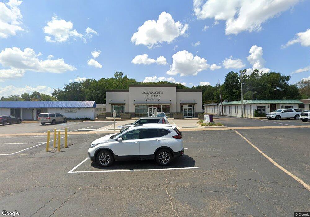
This home is located at 3531 S Broadway Ave, Tyler, TX 75701. 3531 S Broadway Ave is a home located in Smith County with nearby schools including Woods Elementary School, Hubbard Middle School, and Tyler Legacy High School.
Ownership History
Date
Name
Owned For
Owner Type
Purchase Details
Closed on
Apr 7, 2021
Sold by
S & B Interests Inc
Bought by
Alzheimers Alliance Of Northeast Texas Inc
Home Financials for this Owner
Home Financials are based on the most recent Mortgage that was taken out on this home.
Original Mortgage
$1,530,000
Outstanding Balance
$1,253,217
Interest Rate
2.9%
Mortgage Type
Construction
Purchase Details
Closed on
Dec 3, 2014
Sold by
Dzm Property Investments Llc
Bought by
S & B Interests Inc
Home Financials for this Owner
Home Financials are based on the most recent Mortgage that was taken out on this home.
Original Mortgage
$750,000
Interest Rate
3.93%
Mortgage Type
Construction
Create a Home Valuation Report for This Property
The Home Valuation Report is an in-depth analysis detailing your home's value as well as a comparison with similar homes in the area
Home Values in the Area
Average Home Value in this Area
Purchase History
| Date | Buyer | Sale Price | Title Company |
|---|---|---|---|
| Alzheimers Alliance Of Northeast Texas Inc | -- | None Listed On Document | |
| S & B Interests Inc | -- | None Available |
Source: Public Records
Mortgage History
| Date | Status | Borrower | Loan Amount |
|---|---|---|---|
| Open | Alzheimers Alliance Of Northeast Texas Inc | $1,530,000 | |
| Closed | Alzheimers Alliance Of Northeast Texas Inc | $470,000 | |
| Previous Owner | S & B Interests Inc | $750,000 |
Source: Public Records
Tax History Compared to Growth
Tax History
| Year | Tax Paid | Tax Assessment Tax Assessment Total Assessment is a certain percentage of the fair market value that is determined by local assessors to be the total taxable value of land and additions on the property. | Land | Improvement |
|---|---|---|---|---|
| 2025 | -- | $1,015,148 | $330,012 | $685,136 |
| 2024 | -- | $1,093,669 | $330,012 | $763,657 |
| 2023 | $19,074 | $1,094,207 | $330,012 | $764,195 |
| 2022 | $21,603 | $1,102,663 | $330,012 | $772,651 |
| 2021 | $12,115 | $577,466 | $181,437 | $396,029 |
| 2020 | $12,426 | $580,719 | $181,437 | $399,282 |
| 2019 | $12,833 | $586,865 | $181,437 | $405,428 |
| 2018 | $12,898 | $593,012 | $181,437 | $411,575 |
| 2017 | $12,730 | $596,265 | $181,437 | $414,828 |
| 2016 | $5,205 | $243,977 | $181,437 | $62,540 |
| 2015 | $6,742 | $442,907 | $181,437 | $261,470 |
| 2014 | $6,742 | $317,272 | $144,515 | $172,757 |
Source: Public Records
Map
Nearby Homes
- 3308 Greenoak Place
- 3300 Old Bullard Rd
- 3617 Jill Cir
- 410 Brighton Ct
- 403 Beechwood Dr
- 504 Woodland Hills Dr
- 3210 S Donnybrook Ave
- 505 Buckingham Place
- 3202 S Donnybrook Ave
- 509 Buckingham Place
- 604-606 Woodland Hills Dr
- 121 Fair Ln
- 612 Rosemont Place II
- 3712 Colony Park Dr
- 315 Ridgecrest Dr
- 701 Woodland Hills Dr
- 640 Beechwood Dr
- 3324 Teakwood Dr
- 2835 S Broadway Ave
- 2917 Sunnybrook Dr
- 3527 S Broadway Ave
- 3525 S Broadway Ave
- 126 W Amherst St
- 126 W Amherst Dr
- 3845 S Broadway Ave
- 3501 Colgate Ave
- 3423 Colgate Ave
- 3507 Colgate Ave
- 3413 Colgate Ave
- 3417 Colgate Ave
- 3507 3507 Colgate Ave
- 3513 Colgate Ave
- 3409 Colgate Ave
- 3519 Colgate Ave
- 220 W Amherst Dr
- 3600 Old Bullard Rd
- 3601 Colgate Ave
- 3405 Colgate Ave
- 3405 3405 Colgate
- 3424 3424 Colgate