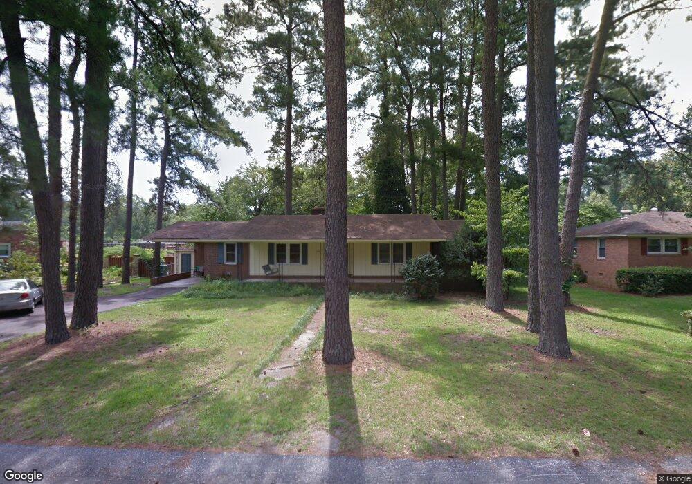
3532 Linbrook Dr Columbia, SC 29204
Estimated Value: $231,000 - $270,000
3
Beds
2
Baths
1,696
Sq Ft
$148/Sq Ft
Est. Value
About This Home
This home is located at 3532 Linbrook Dr, Columbia, SC 29204 and is currently estimated at $250,496, approximately $147 per square foot. 3532 Linbrook Dr is a home located in Richland County with nearby schools including Brockman Elementary School, Satchel Ford Elementary School, and Crayton Middle School.
Ownership History
Date
Name
Owned For
Owner Type
Purchase Details
Closed on
Mar 27, 2006
Sold by
Mckivergan James F and Mckivergan Glenna M
Bought by
Allen Tawnee M
Current Estimated Value
Home Financials for this Owner
Home Financials are based on the most recent Mortgage that was taken out on this home.
Original Mortgage
$108,000
Outstanding Balance
$61,597
Interest Rate
6.23%
Mortgage Type
Fannie Mae Freddie Mac
Estimated Equity
$188,899
Purchase Details
Closed on
Jan 23, 2006
Sold by
Shadwick Jan R and Shadwick Carin M
Bought by
Mckivergan James F and Mckivergan Glenna M
Create a Home Valuation Report for This Property
The Home Valuation Report is an in-depth analysis detailing your home's value as well as a comparison with similar homes in the area
Home Values in the Area
Average Home Value in this Area
Purchase History
| Date | Buyer | Sale Price | Title Company |
|---|---|---|---|
| Allen Tawnee M | -- | None Available | |
| Mckivergan James F | $116,500 | None Available |
Source: Public Records
Mortgage History
| Date | Status | Borrower | Loan Amount |
|---|---|---|---|
| Open | Allen Tawnee M | $108,000 |
Source: Public Records
Tax History Compared to Growth
Tax History
| Year | Tax Paid | Tax Assessment Tax Assessment Total Assessment is a certain percentage of the fair market value that is determined by local assessors to be the total taxable value of land and additions on the property. | Land | Improvement |
|---|---|---|---|---|
| 2024 | $1,174 | $157,000 | $0 | $0 |
| 2023 | $1,174 | $5,460 | $0 | $0 |
| 2022 | $1,040 | $136,500 | $21,800 | $114,700 |
| 2021 | $1,055 | $5,460 | $0 | $0 |
| 2020 | $1,049 | $5,280 | $0 | $0 |
| 2019 | $1,060 | $5,280 | $0 | $0 |
| 2018 | $945 | $4,590 | $0 | $0 |
| 2017 | $922 | $4,590 | $0 | $0 |
| 2016 | $908 | $4,590 | $0 | $0 |
| 2015 | $894 | $4,590 | $0 | $0 |
| 2014 | $820 | $114,700 | $0 | $0 |
| 2013 | -- | $4,590 | $0 | $0 |
Source: Public Records
Map
Nearby Homes
- 3306 Pine Belt Rd
- 3801 Baldwin Rd
- 2 Godbold Ct
- 5 Forest Trace Way
- 3541 Foxhall Rd
- 4725 Circle Dr
- 3544 Foxhall Rd
- 4739 Circle Dr
- 5448 Pinestraw Rd
- 1710 Bradley Dr
- 2135 Mockingbird Rd
- 1811 Bradley Dr
- 3212 Dennis Dr
- 1204 Carter St
- 6546 Haley Dr
- 3136 Barnes Springs Rd
- 4443 Bethel Church Rd Unit 23
- 4443 Bethel Church Rd Unit 27
- 6609 Satchelford Rd
- 4730 Bethel Church Rd
- 3526 Linbrook Dr
- 3538 Linbrook Dr
- 1533 Arlene Dr
- 3520 Linbrook Dr
- 3533 Linbrook Dr
- 3527 Linbrook Dr
- 1545 Arlene Dr
- 1648 Upland Dr
- 1524 Arlene Dr
- 3521 Linbrook Dr
- 1532 Arlene Dr
- 1524 Woodmont Dr
- 3511 Lakeland Dr
- 3539 Linbrook Dr
- 1654 Upland Dr
- 3547 Linbrook Dr
- 1530 Woodmont Dr
- 1540 Arlene Dr
- 3519 Lakeland Dr
- 1638 Upland Dr