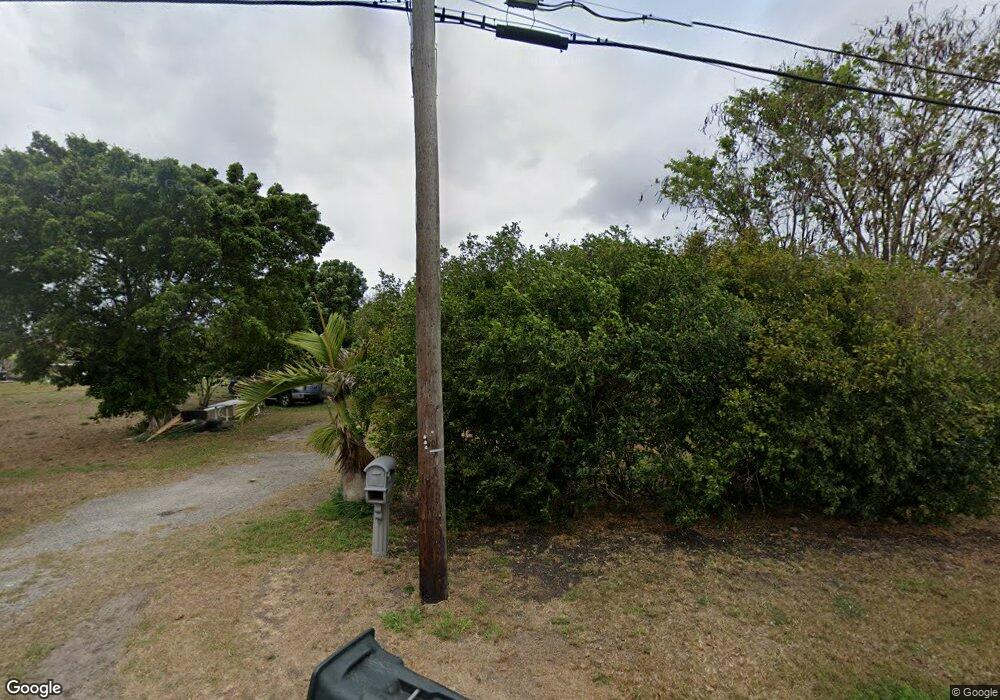
3533 Airport Rd Pahokee, FL 33476
Estimated Value: $125,000 - $198,000
--
Bed
1
Bath
720
Sq Ft
$229/Sq Ft
Est. Value
About This Home
This home is located at 3533 Airport Rd, Pahokee, FL 33476 and is currently estimated at $165,022, approximately $229 per square foot. 3533 Airport Rd is a home located in Palm Beach County with nearby schools including Pahokee Elementary School, Pahokee Middle/Senior High School, and The Shepherd's School.
Ownership History
Date
Name
Owned For
Owner Type
Purchase Details
Closed on
Feb 18, 1997
Sold by
Wright Thomas D and Wright Sadie A
Bought by
Guerra Gustavo
Current Estimated Value
Home Financials for this Owner
Home Financials are based on the most recent Mortgage that was taken out on this home.
Original Mortgage
$23,500
Outstanding Balance
$2,389
Interest Rate
7.7%
Estimated Equity
$162,633
Purchase Details
Closed on
Oct 23, 1996
Sold by
Girard Savings Bank Fsb
Bought by
Wright Thomas D
Purchase Details
Closed on
May 3, 1996
Sold by
Clerk Of The Court
Bought by
Girard Savings Bank
Create a Home Valuation Report for This Property
The Home Valuation Report is an in-depth analysis detailing your home's value as well as a comparison with similar homes in the area
Home Values in the Area
Average Home Value in this Area
Purchase History
| Date | Buyer | Sale Price | Title Company |
|---|---|---|---|
| Guerra Gustavo | $25,000 | -- | |
| Wright Thomas D | $7,500 | -- | |
| Girard Savings Bank | $100 | -- |
Source: Public Records
Mortgage History
| Date | Status | Borrower | Loan Amount |
|---|---|---|---|
| Open | Girard Savings Bank | $23,500 |
Source: Public Records
Tax History Compared to Growth
Tax History
| Year | Tax Paid | Tax Assessment Tax Assessment Total Assessment is a certain percentage of the fair market value that is determined by local assessors to be the total taxable value of land and additions on the property. | Land | Improvement |
|---|---|---|---|---|
| 2025 | $1,814 | $26,988 | -- | -- |
| 2024 | $1,814 | $26,227 | -- | -- |
| 2023 | $1,730 | $25,463 | $0 | $0 |
| 2022 | $1,708 | $24,721 | $0 | $0 |
| 2021 | $1,675 | $24,001 | $0 | $0 |
| 2020 | $1,708 | $23,670 | $0 | $0 |
| 2019 | $509 | $23,138 | $0 | $0 |
| 2018 | $492 | $22,707 | $0 | $0 |
| 2017 | $386 | $22,240 | $0 | $0 |
| 2016 | $384 | $21,783 | $0 | $0 |
| 2015 | $382 | $21,632 | $0 | $0 |
| 2014 | $384 | $21,460 | $0 | $0 |
Source: Public Records
Map
Nearby Homes
- 3250 Bacom Point Rd
- 2727 Bacom Point Rd
- 312 Carissa Dr
- 0 W Martin Luther King jr Blvd Unit R10990459
- 0 Rardin Ave
- 363 S Lake Ave Unit 1
- 353 S Lake Place
- * S Lake Ave
- 300-398 S Lake Ave
- 364 S Lake Ave
- 0 S Lake Ave Unit R11061220
- 297 E 4th St
- 398 Cypress Ave
- 176 Bacom Point Rd
- 197 W Main St
- 817 E 7th St
- 170 Apple Ave
- 334 S Barfield Hwy
- 1450 Muck City Rd
- 875 Joe Louis Ave
- 3525 Airport Rd
- 3525 Airport Rd
- Xxx Xxx
- Xxx Airport Rd
- Xxxx Airport
- 3509 Airport Rd
- Xxx Airport Rd
- 3501 Airport Rd
- 3565 Airport Rd
- 3497 Airport Rd
- 3573 Airport Rd
- 3581 Airport Rd
- 3583 Airport Rd
- 3587 Airport Rd
- 3419 Bacom Point Rd
- 3424 Fl 562000572
- 3424 Bacom Point Rd
- 3418 Bacom Point Rd
- 3417 Bacom Point Rd
- 3420 Bacom Point Rd
