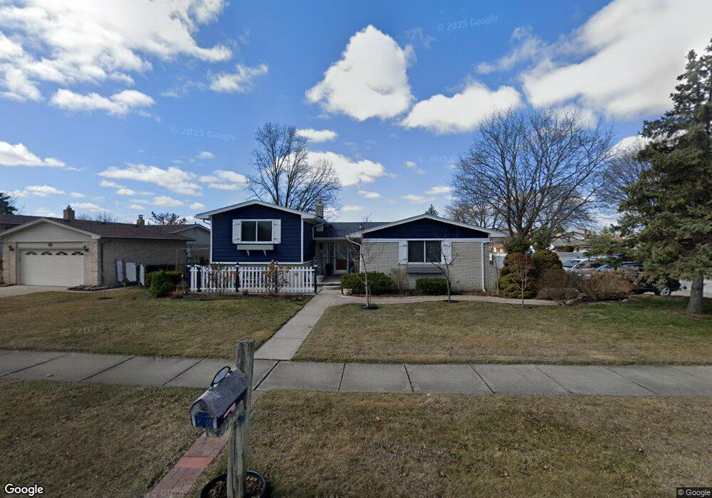
35345 Davison St Sterling Heights, MI 48310
Estimated Value: $323,000 - $384,000
3
Beds
2
Baths
2,019
Sq Ft
$177/Sq Ft
Est. Value
About This Home
This home is located at 35345 Davison St, Sterling Heights, MI 48310 and is currently estimated at $356,662, approximately $176 per square foot. 35345 Davison St is a home located in Macomb County with nearby schools including Harwood Elementary School, Carleton Middle School, and Sterling Heights Senior H.S..
Ownership History
Date
Name
Owned For
Owner Type
Purchase Details
Closed on
May 26, 2011
Sold by
The Bank Of New York Trust Company Na
Bought by
Jamalieh Sandra
Current Estimated Value
Purchase Details
Closed on
Feb 8, 2008
Sold by
Barnes Smith Andrea and Smith Paul C
Bought by
The Bank Of New York Trust Co Na and Jpmorgan Chase Bank
Purchase Details
Closed on
May 18, 2004
Sold by
Smith Paul C
Bought by
Smith Paul C and Barnes Smith Andrea
Home Financials for this Owner
Home Financials are based on the most recent Mortgage that was taken out on this home.
Original Mortgage
$175,560
Interest Rate
6.87%
Mortgage Type
Stand Alone Refi Refinance Of Original Loan
Purchase Details
Closed on
Jan 15, 1998
Sold by
Nease D W
Bought by
Smith P
Create a Home Valuation Report for This Property
The Home Valuation Report is an in-depth analysis detailing your home's value as well as a comparison with similar homes in the area
Home Values in the Area
Average Home Value in this Area
Purchase History
| Date | Buyer | Sale Price | Title Company |
|---|---|---|---|
| Jamalieh Sandra | $73,000 | Etitle Agency Inc | |
| The Bank Of New York Trust Co Na | $214,346 | None Available | |
| Smith Paul C | -- | Best Title Company | |
| Smith P | $167,500 | -- |
Source: Public Records
Mortgage History
| Date | Status | Borrower | Loan Amount |
|---|---|---|---|
| Previous Owner | Smith Paul C | $175,560 |
Source: Public Records
Tax History Compared to Growth
Tax History
| Year | Tax Paid | Tax Assessment Tax Assessment Total Assessment is a certain percentage of the fair market value that is determined by local assessors to be the total taxable value of land and additions on the property. | Land | Improvement |
|---|---|---|---|---|
| 2025 | $3,398 | $159,900 | $0 | $0 |
| 2024 | $3,278 | $153,100 | $0 | $0 |
| 2023 | $3,111 | $137,900 | $0 | $0 |
| 2022 | $3,017 | $123,500 | $0 | $0 |
| 2021 | $3,119 | $121,000 | $0 | $0 |
| 2020 | $2,965 | $117,900 | $0 | $0 |
| 2019 | $2,923 | $110,000 | $0 | $0 |
| 2018 | $2,949 | $98,000 | $0 | $0 |
| 2017 | $2,843 | $94,000 | $19,500 | $74,500 |
| 2016 | $2,783 | $94,000 | $0 | $0 |
| 2015 | -- | $86,200 | $0 | $0 |
| 2014 | -- | $69,600 | $0 | $0 |
Source: Public Records
Map
Nearby Homes
- 5049 Surrey Dr
- 35554 Buxton Dr
- 5072 Chadbourne Dr
- 35715 Maureen Dr
- 5072 15 Mile Rd
- 35259 Hatherly Place
- 4655 Ashburton Place
- 4908 Kadena Ct
- 5336 Mansfield Ave
- 4628 Dickson Dr
- 35272 Vito Dr
- 34641 Mound Rd
- 5024 Bristor Dr
- 4215 Nickolas Dr
- 5568 Seabreeze Ln
- 36446 Waltham Dr
- 35078 Cavant Dr
- 4468 15 Mile Rd Unit F104
- 4874 Venetian Dr
- 4231 Chris Dr
- 35331 Davison St
- 5026 Kebbe Dr
- 35315 Davison St
- 5041 Kebbe Dr
- 5214 Kebbe Dr
- 5053 Kebbe Dr
- 5012 Kebbe Dr
- 5029 Kebbe Dr
- 35303 Davison St
- 5205 Kebbe Dr
- 35330 Davison St
- 5015 Kebbe Dr
- 35318 Davison St
- 5217 Kebbe Dr
- 5000 Kebbe Dr
- 5230 Kebbe Dr
- 35291 Davison St
- 5001 Kebbe Dr
- 35306 Davison St
- 5014 Surrey Dr