3535 Apache Rd Vassar, MI 48768
Estimated Value: $202,000 - $259,000
3
Beds
2
Baths
1,404
Sq Ft
$163/Sq Ft
Est. Value
About This Home
This home is located at 3535 Apache Rd, Vassar, MI 48768 and is currently estimated at $229,553, approximately $163 per square foot. 3535 Apache Rd is a home with nearby schools including Mayville Elementary School, Mayville Middle School, and Mayville Middle & High School.
Ownership History
Date
Name
Owned For
Owner Type
Purchase Details
Closed on
Oct 5, 2012
Sold by
Will James and Will Linda
Bought by
Enos Jason R and Enos Ashleigh
Current Estimated Value
Purchase Details
Closed on
Jun 29, 2012
Sold by
Nelson Adam L
Bought by
Will James and Will Linda
Home Financials for this Owner
Home Financials are based on the most recent Mortgage that was taken out on this home.
Original Mortgage
$42,000
Interest Rate
3.83%
Mortgage Type
FHA
Purchase Details
Closed on
Feb 23, 2012
Sold by
Nelson Adam L and Nelson Heide A
Bought by
Independent Bank
Create a Home Valuation Report for This Property
The Home Valuation Report is an in-depth analysis detailing your home's value as well as a comparison with similar homes in the area
Purchase History
| Date | Buyer | Sale Price | Title Company |
|---|---|---|---|
| Enos Jason R | $45,900 | None Available | |
| Will James | $40,750 | Valley Title | |
| Independent Bank | $91,042 | None Available |
Source: Public Records
Mortgage History
| Date | Status | Borrower | Loan Amount |
|---|---|---|---|
| Previous Owner | Will James | $42,000 |
Source: Public Records
Tax History
| Year | Tax Paid | Tax Assessment Tax Assessment Total Assessment is a certain percentage of the fair market value that is determined by local assessors to be the total taxable value of land and additions on the property. | Land | Improvement |
|---|---|---|---|---|
| 2025 | $542 | $108,300 | $0 | $0 |
| 2024 | $542 | $94,000 | $0 | $0 |
| 2023 | $1,451 | $81,600 | $0 | $0 |
| 2022 | $1,411 | $70,400 | $0 | $0 |
| 2021 | $476 | $64,200 | $0 | $0 |
| 2020 | $1,235 | $59,200 | $0 | $0 |
| 2019 | $1,355 | $53,300 | $0 | $0 |
| 2018 | $1,323 | $50,400 | $0 | $0 |
| 2017 | $441 | $52,000 | $0 | $0 |
| 2016 | $831 | $49,700 | $0 | $0 |
| 2015 | $6 | $43,800 | $0 | $0 |
| 2014 | $6 | $42,800 | $0 | $0 |
| 2013 | -- | $42,800 | $0 | $0 |
Source: Public Records
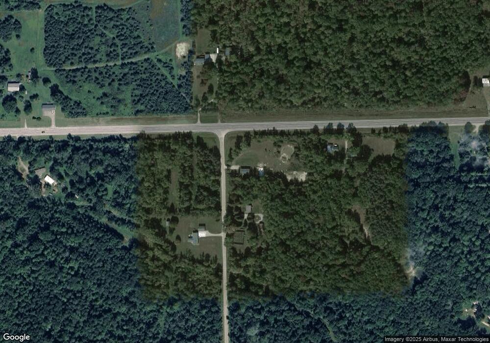
Map
Nearby Homes
- 3050 W Sanilac Rd
- 1540 W Sanilac Rd
- 3280 Waltan Rd
- 4875 S Sheridan
- 3473 Mertz Rd
- 0 S Washburn Rd Unit 50094706
- 4338 Mertz Rd
- 2988 W Snover Rd
- 4027 W Caro Rd
- V/L W Caro Rd
- 2302 Mertz Rd
- 3775 W Saginaw Rd
- VL Mertz Rd
- 4650 Waltan Rd
- 4539 W Saginaw Rd
- 4705 Waltan Rd
- 4123 Waterman Rd
- 6830 Sandy Ridge
- 3497 Cat Lake Rd
- 0000 Crooked Creek Dr
- 3545 Apache Rd
- 3550 Apache Rd
- 2800 W Sanilac Rd
- 0 Apache Unit 4914276
- 0 Apache Rd Unit 4912732
- 0 Apache Unit 212083308
- 2920 W Sanilac Rd
- 2760 W Sanilac Rd
- 2950 W Sanilac Rd
- 2890 W Sanilac Rd
- 2954 W Sanilac Rd
- 2791 W Sanilac Rd
- 2610 W Sanilac Rd
- 3605 Apache Rd
- 2615 W Sanilac Rd
- 2613 W Sanilac Rd
- 3610 Apache Rd
- 3637 Apache Rd
- 3656 Apache Rd
- 2875 W Sanilac Rd
Your Personal Tour Guide
Ask me questions while you tour the home.