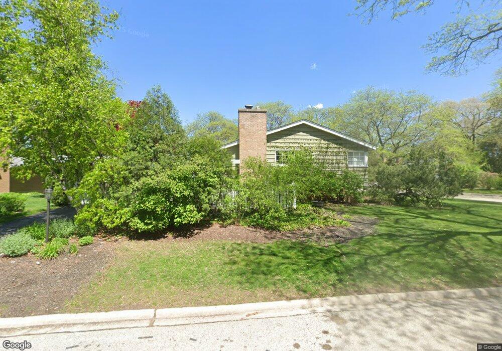
3535 Hillside Rd Evanston, IL 60201
Central Street NeighborhoodEstimated Value: $500,000 - $588,000
3
Beds
1
Bath
1,099
Sq Ft
$508/Sq Ft
Est. Value
About This Home
This home is located at 3535 Hillside Rd, Evanston, IL 60201 and is currently estimated at $558,110, approximately $507 per square foot. 3535 Hillside Rd is a home located in Cook County with nearby schools including Willard Elementary School, Haven Middle School, and Evanston Township High School.
Ownership History
Date
Name
Owned For
Owner Type
Purchase Details
Closed on
Jul 10, 1995
Sold by
Quinn Michael K
Bought by
Oberman M H William and Oberman Lisa R
Current Estimated Value
Home Financials for this Owner
Home Financials are based on the most recent Mortgage that was taken out on this home.
Original Mortgage
$154,400
Interest Rate
7.9%
Create a Home Valuation Report for This Property
The Home Valuation Report is an in-depth analysis detailing your home's value as well as a comparison with similar homes in the area
Home Values in the Area
Average Home Value in this Area
Purchase History
| Date | Buyer | Sale Price | Title Company |
|---|---|---|---|
| Oberman M H William | $193,000 | Centennial Title Inc |
Source: Public Records
Mortgage History
| Date | Status | Borrower | Loan Amount |
|---|---|---|---|
| Closed | Oberman M H William | $154,400 |
Source: Public Records
Tax History
| Year | Tax Paid | Tax Assessment Tax Assessment Total Assessment is a certain percentage of the fair market value that is determined by local assessors to be the total taxable value of land and additions on the property. | Land | Improvement |
|---|---|---|---|---|
| 2025 | $8,965 | $46,000 | $13,677 | $32,323 |
| 2024 | $8,965 | $43,000 | $11,573 | $31,427 |
| 2023 | $8,558 | $43,000 | $11,573 | $31,427 |
| 2022 | $8,558 | $43,000 | $11,573 | $31,427 |
| 2021 | $9,448 | $41,596 | $7,715 | $33,881 |
| 2020 | $9,429 | $41,596 | $7,715 | $33,881 |
| 2019 | $9,240 | $45,610 | $7,715 | $37,895 |
| 2018 | $11,394 | $41,589 | $6,312 | $35,277 |
| 2017 | $9,476 | $41,589 | $6,312 | $35,277 |
| 2016 | $9,893 | $41,589 | $6,312 | $35,277 |
| 2015 | $8,543 | $34,485 | $5,260 | $29,225 |
| 2014 | $8,476 | $34,485 | $5,260 | $29,225 |
| 2013 | $8,266 | $34,485 | $5,260 | $29,225 |
Source: Public Records
Map
Nearby Homes
- 3609 Central St
- 2555 Gross Point Rd Unit 101
- 2774 Crawford Ave
- 3233 Central St
- 3233 Central St Unit 2
- 2437 Crawford Ave
- 2403 Old Glenview Rd
- 246 Vista Ct
- 2047 Wilmette Ave
- 2208 Wilmette Ave
- 235 Ridge Rd Unit 4J
- 411 Pine Manor Dr
- 2337 Ridgeway Ave
- 509 Pinecrest Ln
- 9714 Kedvale Ave
- 2437 Marcy Ave
- 3310 Hayes St
- 509 1/2 Ridge Rd
- 2133 Crawford Ave
- 10115 Old Orchard Ct Unit 301
- 2634 Hillside Ln
- 2630 Hillside Ln
- 3603 Hillside Rd
- 2638 Hillside Ln
- 3521 Hillside Rd
- 3530 Hillside Rd
- 3536 Hillside Rd
- 3526 Hillside Rd
- 3607 Hillside Rd
- 3600 Hillside Rd
- 2642 Hillside Ln
- 2633 Hillside Ln
- 2637 Hillside Ln
- 3522 Hillside Rd
- 3604 Hillside Rd
- 3515 Hillside Rd
- 2648 Hillside Ln
- 2641 Hillside Ln
- 3611 Hillside Rd
- 3608 Hillside Rd
Your Personal Tour Guide
Ask me questions while you tour the home.