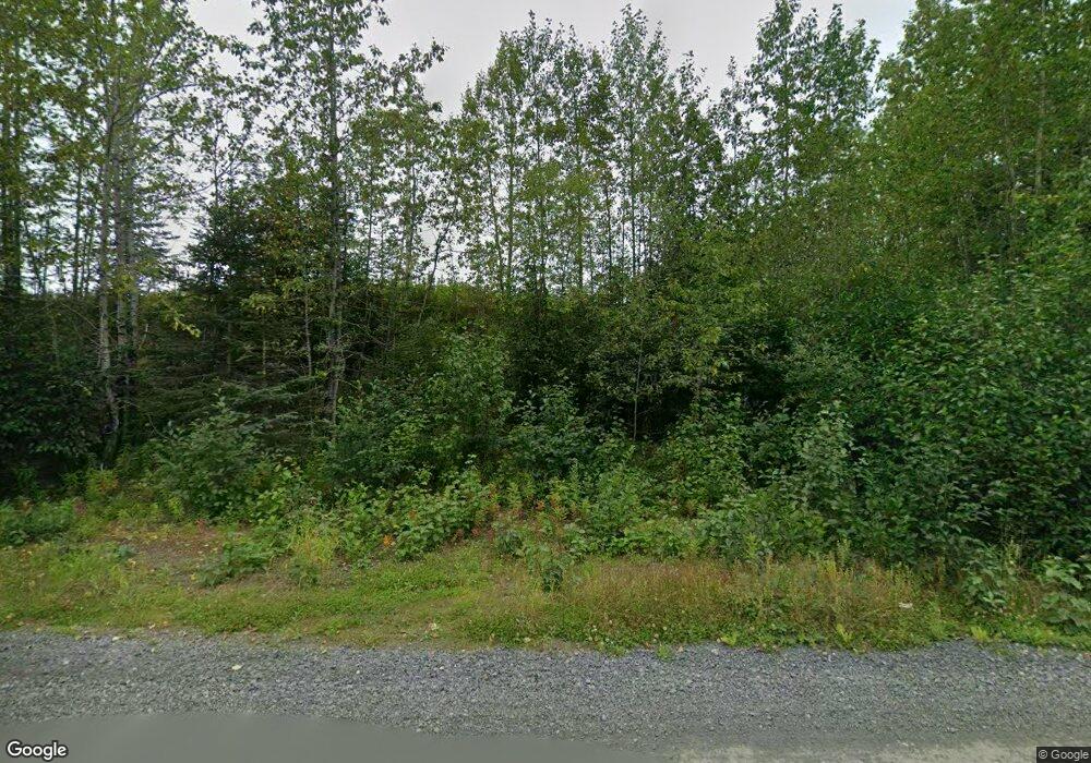
35351 I Benson Rd Anchor Point, AK 99556
Estimated Value: $79,000 - $399,370
3
Beds
2
Baths
1,568
Sq Ft
$168/Sq Ft
Est. Value
About This Home
This home is located at 35351 I Benson Rd, Anchor Point, AK 99556 and is currently estimated at $262,790, approximately $167 per square foot. 35351 I Benson Rd is a home with nearby schools including Chapman School and Homer High School.
Ownership History
Date
Name
Owned For
Owner Type
Purchase Details
Closed on
Aug 17, 2006
Sold by
Kesner Stephen A
Bought by
Kinder Randal J and Kinder Julia A
Current Estimated Value
Home Financials for this Owner
Home Financials are based on the most recent Mortgage that was taken out on this home.
Original Mortgage
$36,000
Outstanding Balance
$21,614
Interest Rate
6.76%
Mortgage Type
Seller Take Back
Estimated Equity
$241,176
Create a Home Valuation Report for This Property
The Home Valuation Report is an in-depth analysis detailing your home's value as well as a comparison with similar homes in the area
Home Values in the Area
Average Home Value in this Area
Purchase History
| Date | Buyer | Sale Price | Title Company |
|---|---|---|---|
| Kinder Randal J | -- | First American Title Ins Co |
Source: Public Records
Mortgage History
| Date | Status | Borrower | Loan Amount |
|---|---|---|---|
| Open | Kinder Randal J | $36,000 |
Source: Public Records
Tax History Compared to Growth
Tax History
| Year | Tax Paid | Tax Assessment Tax Assessment Total Assessment is a certain percentage of the fair market value that is determined by local assessors to be the total taxable value of land and additions on the property. | Land | Improvement |
|---|---|---|---|---|
| 2025 | $1,671 | $284,000 | $31,200 | $252,800 |
| 2024 | $836 | $212,100 | $29,700 | $182,400 |
| 2023 | $1,574 | $196,100 | $25,100 | $171,000 |
| 2022 | $1,517 | $186,800 | $16,600 | $170,200 |
| 2021 | $934 | $181,600 | $16,200 | $165,400 |
| 2020 | $1,752 | $206,600 | $16,200 | $190,400 |
| 2019 | $1,429 | $178,200 | $24,500 | $153,700 |
| 2018 | $934 | $133,800 | $24,500 | $109,300 |
| 2017 | $923 | $134,300 | $24,500 | $109,800 |
| 2016 | $828 | $125,600 | $24,500 | $101,100 |
| 2015 | $1,426 | $130,200 | $24,500 | $105,700 |
| 2014 | $1,426 | $106,200 | $24,500 | $81,700 |
Source: Public Records
Map
Nearby Homes
- 27191 Sterling Hwy
- 35885 Sterling Hwy
- 26935 Sterling Hwy
- 26220 Sterling Hwy
- 33175 Sterling Hwy
- 33135 Sterling Hwy
- 35196 Nordic Ct
- 35765 Erin Way
- 33625 Anchor Ct
- 35890 Old Sterling Hwy
- 70975 Mark Ln
- 69783 Tipton Ave
- 35555 Old Sterling Hwy
- 000 Old Sterling Hwy
- 73487 Ann Ct
- 73340 School Ave
- 73549 Breakaway Rd
- 34405 Birch St
- 73528 Breakaway Rd
- 34427 Birch St
- 35263 I Benson Rd
- 35570 Sterling Hwy
- 35495 Sterling Hwy
- Lot 7 Brow Tine Rd
- Lot 3 Rd
- Lot 1 Rd
- Lot 6 Aquila Wings Rd
- 35475 Sterling Hwy
- Lot 7 Aquila Wings Rd
- Lot 6 Brow Tine Rd
- Lot 4 Aquila Wings Rd
- Lot 5 Aquila Wings Rd
- Lot 2 Rd
- 35451 Sterling Hwy
- 35278 Sabea Cir
- 35258 Sabea
- 35548 Sterling Hwy
- 35228 Sabea
- 35769 Sterling Hwy
- 35435 Sterling Hwy
