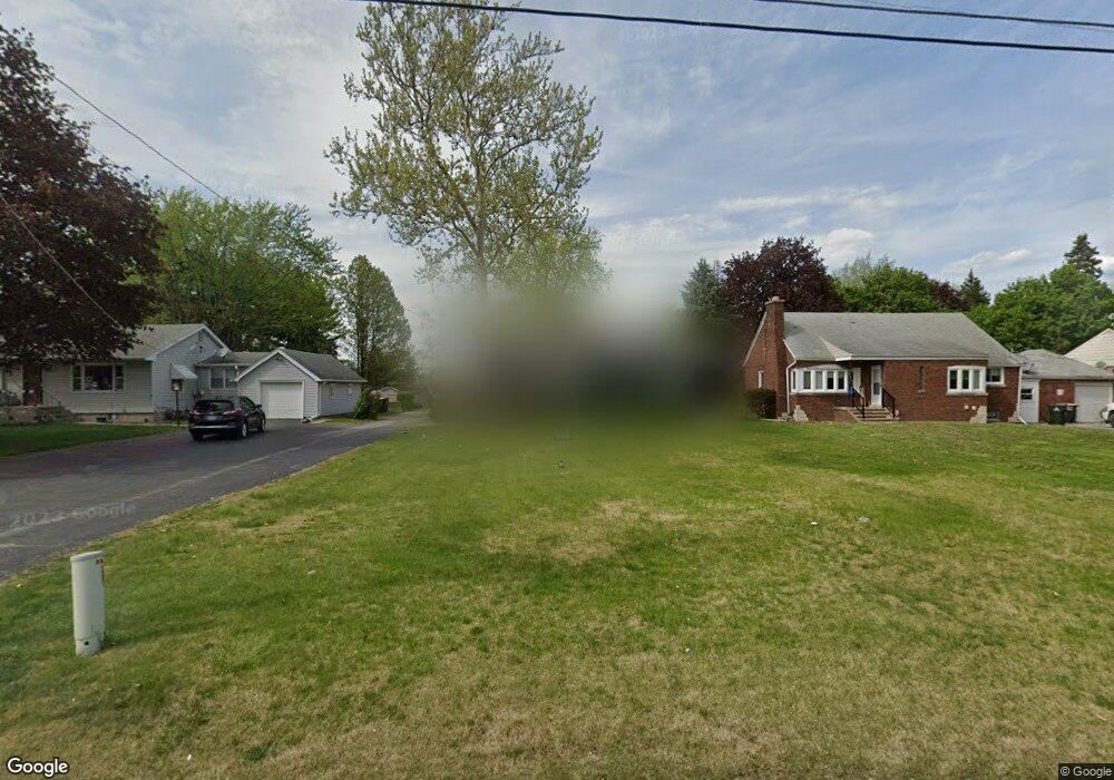
3536 Bernice Rd Lansing, IL 60438
Estimated Value: $208,000 - $246,000
4
Beds
1
Bath
1,434
Sq Ft
$155/Sq Ft
Est. Value
About This Home
This home is located at 3536 Bernice Rd, Lansing, IL 60438 and is currently estimated at $222,312, approximately $155 per square foot. 3536 Bernice Rd is a home located in Cook County with nearby schools including Reavis Elementary School, Memorial Jr High School, and Thornton Fractnl So High School.
Ownership History
Date
Name
Owned For
Owner Type
Purchase Details
Closed on
Jun 8, 2005
Sold by
Martin Herman R and Martin Gertrude J
Bought by
Mccoy Krista
Current Estimated Value
Home Financials for this Owner
Home Financials are based on the most recent Mortgage that was taken out on this home.
Original Mortgage
$128,725
Outstanding Balance
$73,511
Interest Rate
7.25%
Mortgage Type
Purchase Money Mortgage
Estimated Equity
$148,801
Create a Home Valuation Report for This Property
The Home Valuation Report is an in-depth analysis detailing your home's value as well as a comparison with similar homes in the area
Home Values in the Area
Average Home Value in this Area
Purchase History
| Date | Buyer | Sale Price | Title Company |
|---|---|---|---|
| Mccoy Krista | $135,500 | Attorneys Title Guaranty Fun |
Source: Public Records
Mortgage History
| Date | Status | Borrower | Loan Amount |
|---|---|---|---|
| Open | Mccoy Krista | $128,725 |
Source: Public Records
Tax History Compared to Growth
Tax History
| Year | Tax Paid | Tax Assessment Tax Assessment Total Assessment is a certain percentage of the fair market value that is determined by local assessors to be the total taxable value of land and additions on the property. | Land | Improvement |
|---|---|---|---|---|
| 2024 | $6,332 | $16,402 | $9,000 | $7,402 |
| 2023 | $5,042 | $16,402 | $9,000 | $7,402 |
| 2022 | $5,042 | $11,180 | $7,875 | $3,305 |
| 2021 | $4,962 | $11,179 | $7,875 | $3,304 |
| 2020 | $4,738 | $11,179 | $7,875 | $3,304 |
| 2019 | $5,444 | $12,991 | $7,312 | $5,679 |
| 2018 | $5,340 | $12,991 | $7,312 | $5,679 |
| 2017 | $5,425 | $12,991 | $7,312 | $5,679 |
| 2016 | $5,371 | $12,320 | $6,750 | $5,570 |
| 2015 | $4,927 | $12,320 | $6,750 | $5,570 |
| 2014 | $4,886 | $12,320 | $6,750 | $5,570 |
| 2013 | $4,783 | $13,253 | $6,750 | $6,503 |
Source: Public Records
Map
Nearby Homes
- 3540 Bernice Rd
- 17244 Wentworth Ave
- 17246 Bernadine St
- 3409 173rd Place
- 17204 Bernadine St
- 17331 Community St
- 17335 Community St
- 17226 Community St
- 3636 172nd St
- 17303 Roy St
- 17128 Grant St
- 17511 Maple Ave
- 17519 Community St
- 17517 Shirley Dr
- 17611 Bernadine St
- 17318 Walter St
- 3514 170th Place
- 17256 Walter St
- 17518 Roy St
- 1678 State Line Rd
- 3534 Bernice Rd
- 3544 Bernice Rd
- 3532 Bernice Rd
- 17340 Wentworth Ave
- 3527 173rd Place
- 17328 Wentworth Ave
- 3521 173rd Place
- 3515 173rd Place
- 3524 Bernice Rd
- 17322 Wentworth Ave
- 3509 173rd Place
- 17417 Bernadine St
- 3520 Bernice Rd
- 3503 173rd Place
- 3526 173rd Place
- 17310 Wentworth Ave
- 3463 173rd Place
- 3520 173rd Place
- 17421 Bernadine St
- 17421 Bernadine St