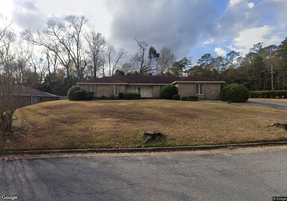
3537 Marriott Dr Columbus, GA 31907
East Columbus NeighborhoodEstimated Value: $266,000 - $290,000
4
Beds
4
Baths
2,677
Sq Ft
$105/Sq Ft
Est. Value
About This Home
This home is located at 3537 Marriott Dr, Columbus, GA 31907 and is currently estimated at $280,780, approximately $104 per square foot. 3537 Marriott Dr is a home located in Muscogee County with nearby schools including Reese Road Leadership Academy, Fort Middle School, and Hardaway High School.
Ownership History
Date
Name
Owned For
Owner Type
Purchase Details
Closed on
Jul 15, 2025
Sold by
Stephens Nora
Bought by
Moore Phillip and Moore Raveeta
Current Estimated Value
Home Financials for this Owner
Home Financials are based on the most recent Mortgage that was taken out on this home.
Original Mortgage
$216,000
Outstanding Balance
$216,000
Interest Rate
6.84%
Mortgage Type
New Conventional
Estimated Equity
$64,780
Purchase Details
Closed on
Sep 24, 2015
Sold by
Stephens Ralph
Bought by
Stephens Ralph and Stephens Nora
Create a Home Valuation Report for This Property
The Home Valuation Report is an in-depth analysis detailing your home's value as well as a comparison with similar homes in the area
Home Values in the Area
Average Home Value in this Area
Purchase History
| Date | Buyer | Sale Price | Title Company |
|---|---|---|---|
| Moore Phillip | $270,000 | None Listed On Document | |
| Stephens Ralph | -- | -- |
Source: Public Records
Mortgage History
| Date | Status | Borrower | Loan Amount |
|---|---|---|---|
| Open | Moore Phillip | $216,000 |
Source: Public Records
Tax History
| Year | Tax Paid | Tax Assessment Tax Assessment Total Assessment is a certain percentage of the fair market value that is determined by local assessors to be the total taxable value of land and additions on the property. | Land | Improvement |
|---|---|---|---|---|
| 2025 | -- | $103,520 | $11,840 | $91,680 |
| 2024 | $1,265 | $103,520 | $11,840 | $91,680 |
| 2023 | $578 | $103,520 | $11,840 | $91,680 |
| 2022 | $1,319 | $82,208 | $11,840 | $70,368 |
| 2021 | $1,312 | $75,572 | $11,840 | $63,732 |
| 2020 | $1,312 | $75,572 | $11,840 | $63,732 |
| 2019 | $1,318 | $75,572 | $11,840 | $63,732 |
| 2018 | $1,318 | $75,572 | $11,840 | $63,732 |
| 2017 | $1,324 | $75,572 | $11,840 | $63,732 |
| 2016 | $1,330 | $58,476 | $8,044 | $50,432 |
| 2015 | $641 | $58,476 | $8,044 | $50,432 |
| 2014 | $1,069 | $58,476 | $8,044 | $50,432 |
| 2013 | -- | $58,476 | $8,044 | $50,432 |
Source: Public Records
Map
Nearby Homes
- 2951 Florence Dr
- 4407 Florence Dr
- 4444 Norcross Dr
- 4732 Delfair Dr
- 2841 Christine Rd
- 2973 Grant Rd
- 2871 Barbara Rd
- 4470 Lapaloma Dr
- 4819 Yosemite Dr
- 4738 Shenandoah Dr
- 4120 Fairview Dr
- 4118 Fairview Dr
- 5339 Pine Needle Dr
- 4975 Glacier Dr
- 4312 Old MacOn Rd Unit 46
- 4312 Old MacOn Rd Unit 56
- 5302 Pine Needle Dr
- 5590 Macon Rd
- 2615 Reese Rd
- 4220 Westfield Ct
- 3527 Marriott Dr
- 3538 Marriott Dr
- 3532 Marriott Dr
- 3519 Marriott Dr
- 3544 Marriott Dr
- 3522 Marriott Dr
- 3513 Marriott Dr
- 3514 Marriott Dr
- 3535 Ambassador Dr
- 3529 Ambassador Dr
- 3541 Ambassador Dr
- 3523 Ambassador Dr
- 3506 Marriott Dr
- 5021 Cal Ct
- 4 Marriott Ct
- 3503 Marriott Dr
- 3547 Ambassador Dr
- 5025 Cal Ct
- 5015 Cal Ct
- 3517 Ambassador Dr
Your Personal Tour Guide
Ask me questions while you tour the home.