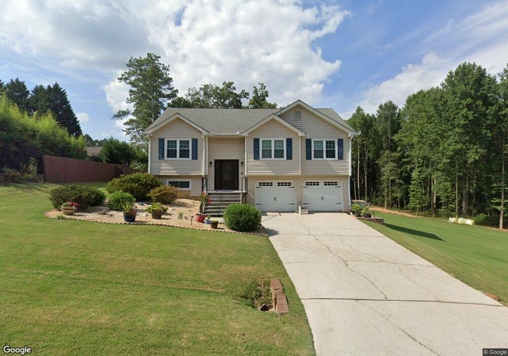
354 Ardell Ct Unit 2 Auburn, GA 30011
Estimated Value: $326,000 - $338,933
2
Beds
2
Baths
1,986
Sq Ft
$168/Sq Ft
Est. Value
About This Home
This home is located at 354 Ardell Ct Unit 2, Auburn, GA 30011 and is currently estimated at $333,983, approximately $168 per square foot. 354 Ardell Ct Unit 2 is a home located in Barrow County with nearby schools including Auburn Elementary School, Westside Middle School, and Apalachee High School.
Ownership History
Date
Name
Owned For
Owner Type
Purchase Details
Closed on
Jun 18, 2009
Sold by
And Sanford Dale M
Bought by
And Sanford Dale M
Current Estimated Value
Purchase Details
Closed on
Jun 12, 1998
Sold by
Walker Scott M and Walker Trisha
Bought by
Sanford Dale M and Sanford Kimberly
Home Financials for this Owner
Home Financials are based on the most recent Mortgage that was taken out on this home.
Original Mortgage
$90,400
Interest Rate
6.61%
Mortgage Type
New Conventional
Purchase Details
Closed on
Dec 3, 1992
Bought by
Walker Scott M
Create a Home Valuation Report for This Property
The Home Valuation Report is an in-depth analysis detailing your home's value as well as a comparison with similar homes in the area
Home Values in the Area
Average Home Value in this Area
Purchase History
| Date | Buyer | Sale Price | Title Company |
|---|---|---|---|
| And Sanford Dale M | -- | -- | |
| Sanford Dale M | $113,000 | -- | |
| Walker Scott M | $83,900 | -- |
Source: Public Records
Mortgage History
| Date | Status | Borrower | Loan Amount |
|---|---|---|---|
| Previous Owner | Sanford Dale M | $90,400 |
Source: Public Records
Tax History Compared to Growth
Tax History
| Year | Tax Paid | Tax Assessment Tax Assessment Total Assessment is a certain percentage of the fair market value that is determined by local assessors to be the total taxable value of land and additions on the property. | Land | Improvement |
|---|---|---|---|---|
| 2024 | $2,861 | $107,639 | $24,000 | $83,639 |
| 2023 | $3,192 | $107,639 | $24,000 | $83,639 |
| 2022 | $1,744 | $66,409 | $12,000 | $54,409 |
| 2021 | $1,850 | $66,409 | $12,000 | $54,409 |
| 2020 | $1,851 | $66,409 | $12,000 | $54,409 |
| 2019 | $1,815 | $63,777 | $10,000 | $53,777 |
| 2018 | $1,690 | $58,998 | $8,800 | $50,198 |
| 2017 | $254 | $47,347 | $8,800 | $38,547 |
| 2016 | $1,198 | $41,796 | $10,000 | $31,796 |
| 2015 | $1,213 | $42,198 | $10,000 | $32,198 |
| 2014 | $1,009 | $37,424 | $6,272 | $31,152 |
| 2013 | -- | $35,986 | $6,272 | $29,714 |
Source: Public Records
Map
Nearby Homes
- 2063 Blackberry Ln
- 335 Wages Rd
- 2057 Blackberry Ln
- 270 E Union Grove Cir
- 331 Wages Rd
- 539 Hayes Rd
- 491 Glen Terrace Rd
- 494 Courtney Ln Unit 2
- 1778 Wynfield Ln
- 1587 Cronic Town Rd Unit 1
- 60 Wood Chuck Ct
- 70 Wood Chuck Ct
- 1923 Westfall Landing
- 280 Etheridge Rd
- 4001 Triton Ives Dr
- 738 Key Largo Ct NE
- 4293 Saddlecreek Ct
- 352 Ardell Ct
- 353 Ardell Ct Unit 2
- 357 Rowan Ct
- 355 Ardell Ct
- 347 Rowan Ct
- 359 Rowan Ct
- 354 Rowan Ct Unit 2
- 356 Rowan Ct
- 352 Rowan Ct Unit 2
- 350 Rowan Ct Unit 2
- 361 Rowan Ct
- 348 Rowan Ct
- 358 Rowan Ct Unit 2
- 348 Austin Way
- 360 Rowan Ct
- 345 Rowan Ct
- 0 Rowan Ct Unit 7195554
- 0 Rowan Ct Unit 3167153
- 377 Blackberry Cir Unit 2
- 350 Austin Way