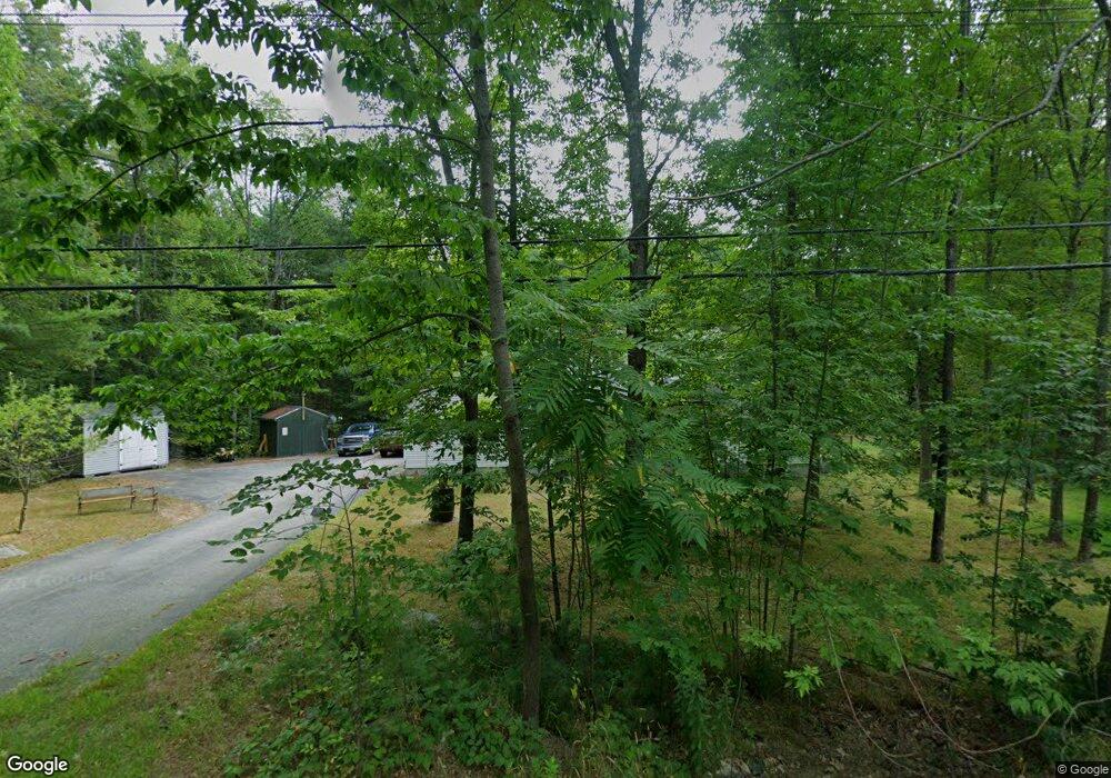
354 Bond Spring Rd West Newfield, ME 04095
Newfield NeighborhoodEstimated Value: $501,000 - $571,044
2
Beds
2
Baths
1,592
Sq Ft
$338/Sq Ft
Est. Value
About This Home
This home is located at 354 Bond Spring Rd, West Newfield, ME 04095 and is currently estimated at $538,511, approximately $338 per square foot. 354 Bond Spring Rd is a home located in York County with nearby schools including Massabesic High School.
Ownership History
Date
Name
Owned For
Owner Type
Purchase Details
Closed on
Dec 18, 2017
Sold by
Carol H Carlson Ret
Bought by
Newcomb David A and Newcomb Margaret P
Current Estimated Value
Home Financials for this Owner
Home Financials are based on the most recent Mortgage that was taken out on this home.
Original Mortgage
$200,000
Outstanding Balance
$167,591
Interest Rate
3.94%
Mortgage Type
New Conventional
Estimated Equity
$370,920
Purchase Details
Closed on
May 16, 2005
Sold by
Johnson Patricia C and Johnson Walter C
Bought by
Marchant Barbara J
Create a Home Valuation Report for This Property
The Home Valuation Report is an in-depth analysis detailing your home's value as well as a comparison with similar homes in the area
Home Values in the Area
Average Home Value in this Area
Purchase History
| Date | Buyer | Sale Price | Title Company |
|---|---|---|---|
| Newcomb David A | -- | -- | |
| Marchant Barbara J | -- | -- |
Source: Public Records
Mortgage History
| Date | Status | Borrower | Loan Amount |
|---|---|---|---|
| Open | Newcomb David A | $200,000 |
Source: Public Records
Tax History Compared to Growth
Tax History
| Year | Tax Paid | Tax Assessment Tax Assessment Total Assessment is a certain percentage of the fair market value that is determined by local assessors to be the total taxable value of land and additions on the property. | Land | Improvement |
|---|---|---|---|---|
| 2025 | $4,394 | $356,100 | $65,100 | $291,000 |
| 2024 | $4,202 | $356,100 | $65,100 | $291,000 |
| 2023 | $3,889 | $356,100 | $65,100 | $291,000 |
| 2022 | $3,476 | $356,100 | $65,100 | $291,000 |
| 2021 | $3,242 | $284,900 | $52,100 | $232,800 |
| 2020 | $5,511 | $284,900 | $52,100 | $232,800 |
| 2019 | $3,174 | $284,900 | $52,100 | $232,800 |
| 2018 | $3,117 | $284,900 | $52,100 | $232,800 |
| 2017 | $10,948 | $284,900 | $52,100 | $232,800 |
| 2016 | $2,994 | $284,900 | $52,100 | $232,800 |
| 2015 | $2,775 | $284,900 | $52,100 | $232,800 |
| 2014 | $2,709 | $291,300 | $62,200 | $229,100 |
| 2013 | $2,622 | $291,300 | $62,200 | $229,100 |
Source: Public Records
Map
Nearby Homes
- 00 Carter Ln
- 220 Bond Spring Rd
- 112 Gile Rd
- 281 Gile Rd
- 510 Balch Mill Rd
- 59 Main St
- 367 Shady Nook Rd
- 11 Symmes Dr
- 174 Wakefield Rd
- 282 Granny Kent Pond Rd
- 315 Libby Rd
- 164 Granny Kent Pond Rd
- Lot 3C Bridge St
- 00 Bridge St
- 223 Bridge St
- 38-25.2 0 Row Mowry Ln
- 360 Bridge St
- 48 Elm St
- 00 Libby Rd Unit Lot 9
- 590 Newfield Rd
- 354 Bond Spring Rd
- 346 Bond Spring Rd
- 349 Bond Spring Rd
- 349 Bond Spring Rd
- 357 Bond Spring Rd
- 372 Bond Spring Rd
- 367 Bond Spring Rd
- 35 Applegate Ln
- 378 Bond Spring Rd
- 392 Bond Spring Rd
- 21 Morrison Ln
- 322 Bond Spring Rd
- 0 Morrison Ln
- 47 Applegate Ln
- 49 Applegate Ln
- 401 Bond Spring Rd
- 394 Bond Spring Rd
- 404 Bond Spring Rd
- 40 Morrison Ln
- 55 Applegate Ln